Featured

Bhutan Pt. 2

Wednesday, September 18th:

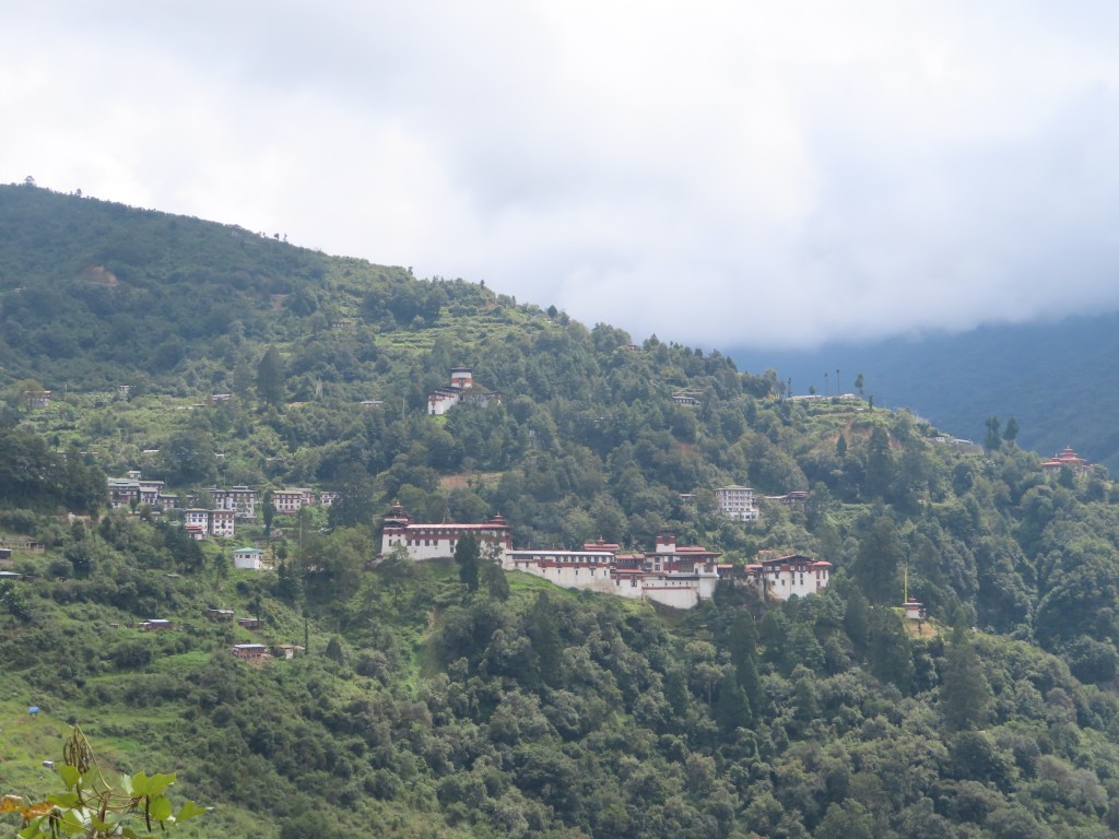
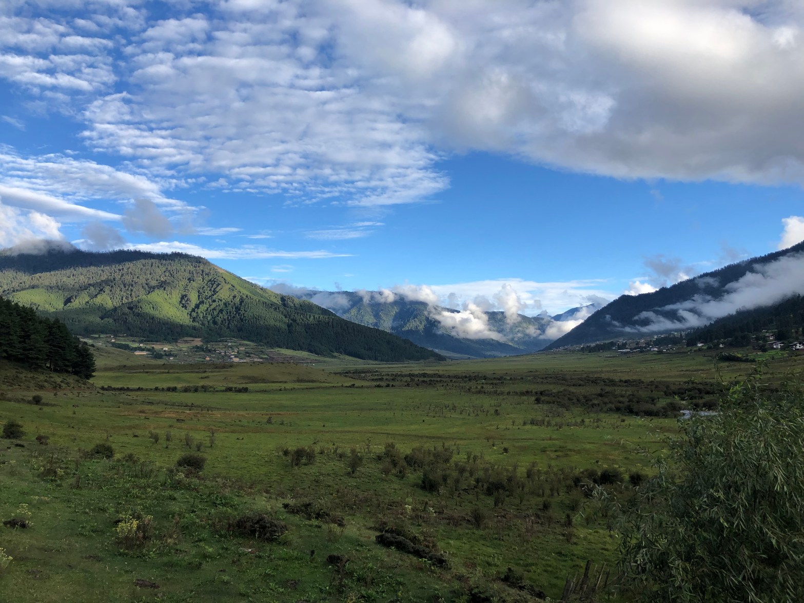
Leaving Phobjikha after breakfast, we continued our drive east towards the geographic center of Bhutan. There was no rest from the roads, and as the beautiful Trongsa fortress appeared across the valley, the pavement ended and it took almost a half hour to wind the final 5 miles into the town. After a brief visit to a Bhutanese history museum in Trongsa, we continued east to Bumthang, in the geographic center of Bhutan. 
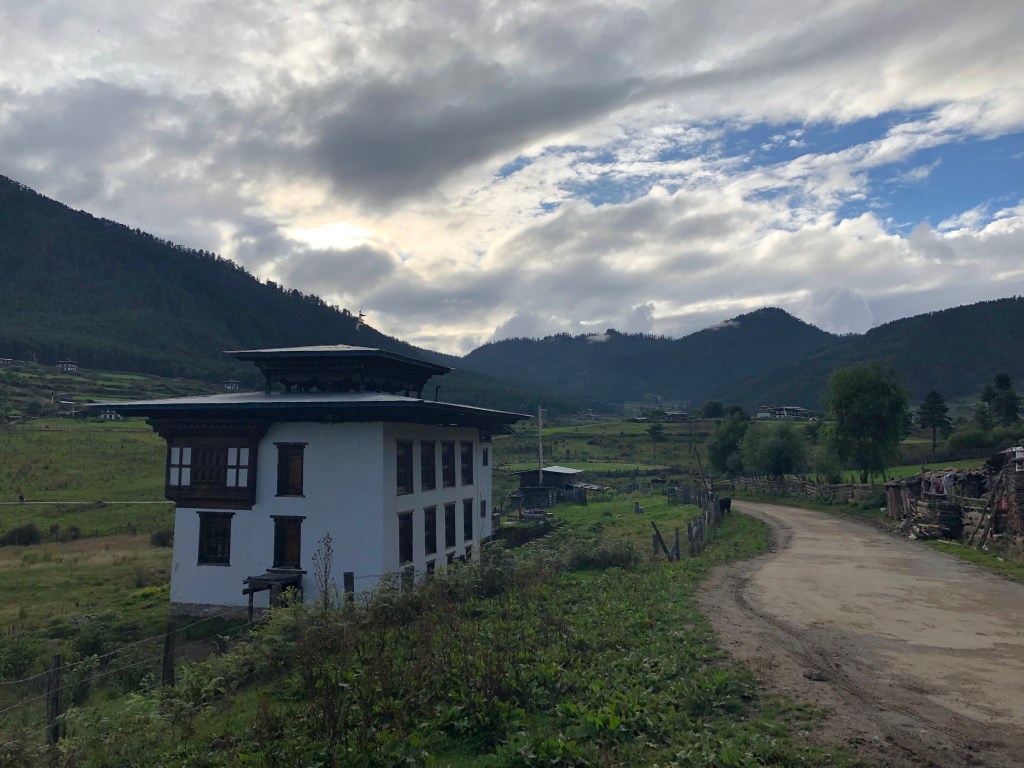
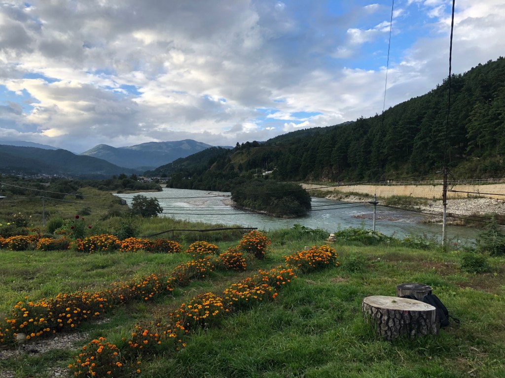
Bumthang (not pronounced boom-thang), while much larger than Phobjikha and the largest “town” in central Bhutan, is actually quite small with a single road marking the “downtown” area. The lodge was located on the outskirts of town along a quiet dirt road, providing a beautiful setting for an afternoon run (although at 8500 feet, breathing was hardly easier than the previous day)
In the evening, Tashi and Kumar decided to show me what a “night out” looked like in Bumthang. We enjoyed a beer at a local “bar”, a glorified living room with a few chairs and low tables as well as a small platform for drinks, before they took me to our main destination, a dancing club. The dancing club turned out to be a dark and dingy, underground room with couches and tables set up like a night club. In the center, there was a “dance floor” surrounded by a knee-high fence designed in a traditional Bhutanese style. Bhutanese women, dressed in traditional clothing (Kiras) took turns dancing/lip-syncing to Bhutanese music as the patrons looked on. Occasionally, a patron would provide a tip to “sponsor” a new performance, or pay to join the dancers. While hard to describe, it was a completely conservative non-sexualized environment, but overall a very strange scene. After having a drink, we decided we had seen enough of Bumthang’s “nightlife” for an evening and headed to bed.

Thursday, September 19th:

Setting out from Bhumtang on a day trip, we drove towards the Tang Valley. We stopped along the way at the “burning lake”, where a monk had subdued a demon by jumping into the water with a lit butter-lamp and emerging unharmed with the lamp still burning.
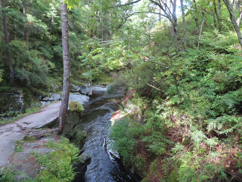
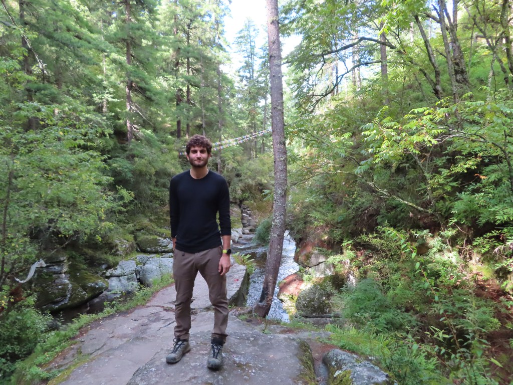
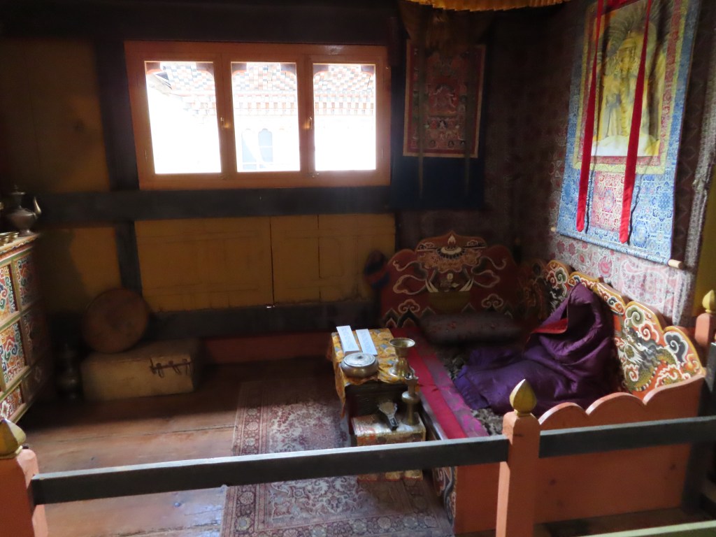
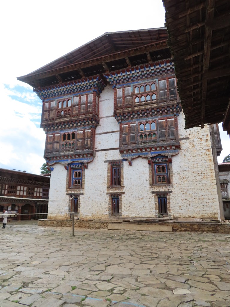
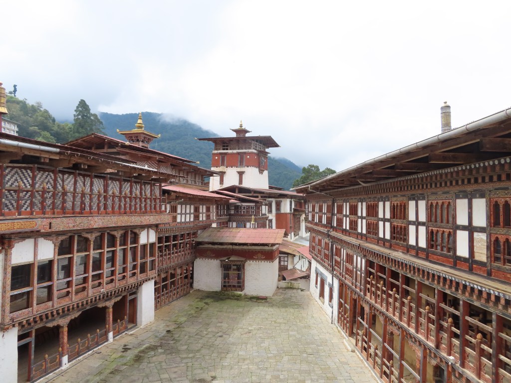
Arriving in the Tang valley, we visited a preserved Bhutanese mansion that had been converted into a cultural museum. The home, dating back to the early 20th century featured a 4-story main building surrounded by a two-story assortment of temples (4 temples in total) that also served as the outer wall. There was everything from grain and rice storage rooms, to (very uncomfortable looking) bedrooms and fermentation rooms for grain and rice alcohol.
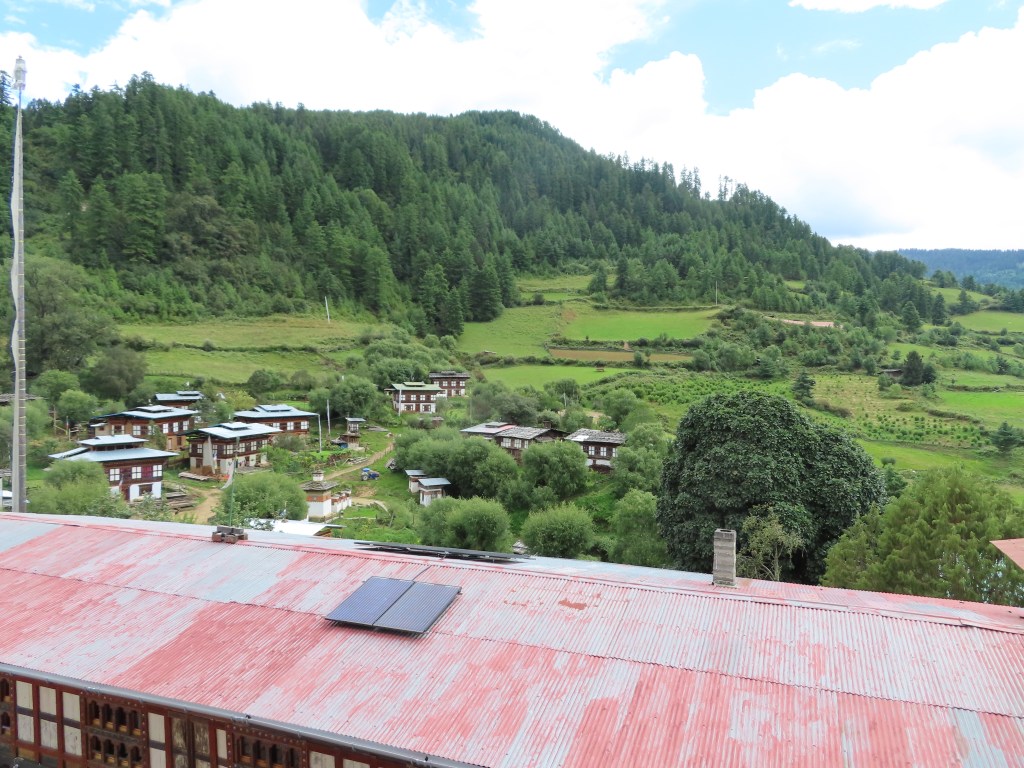
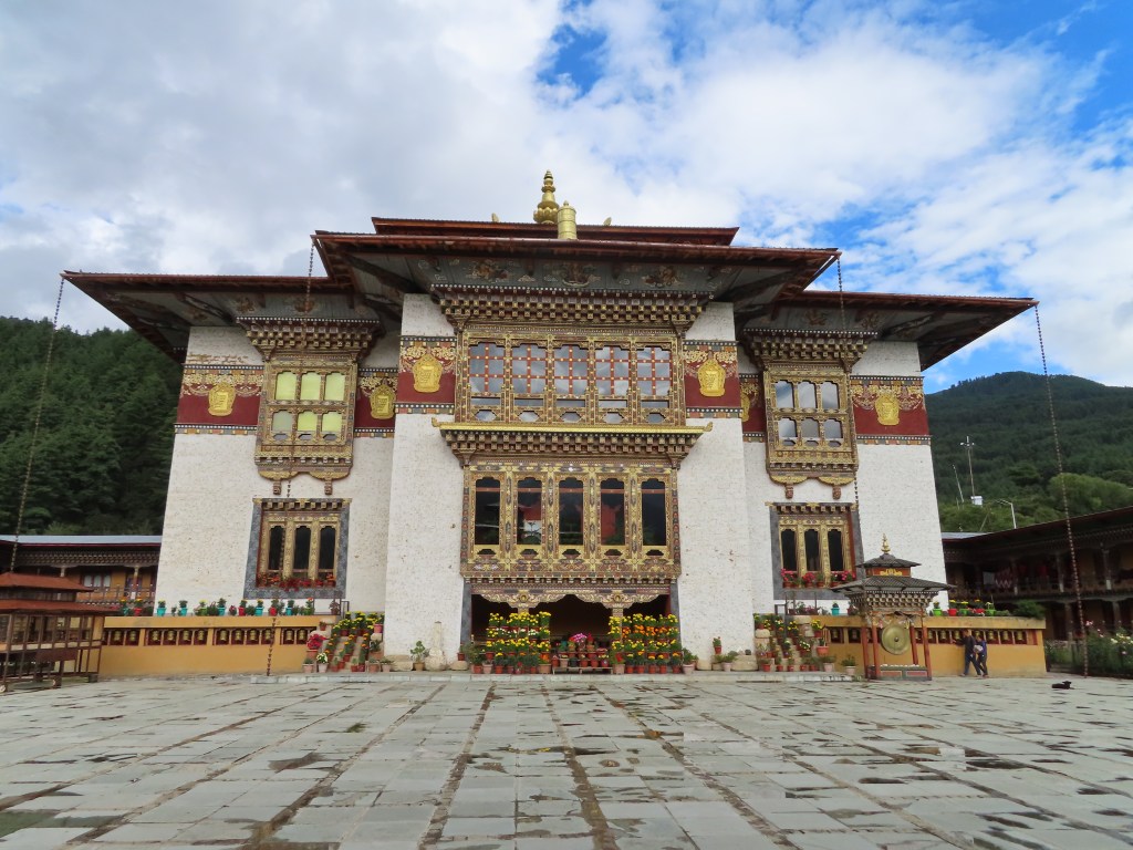
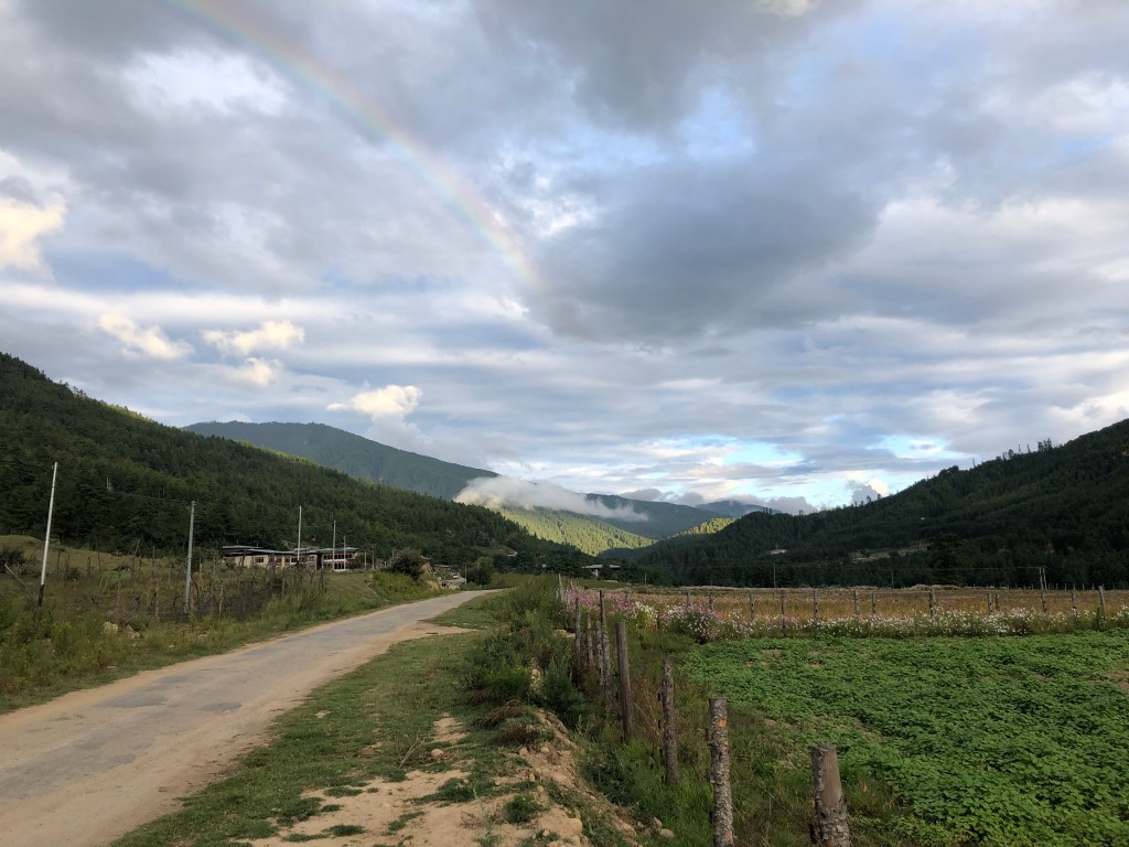
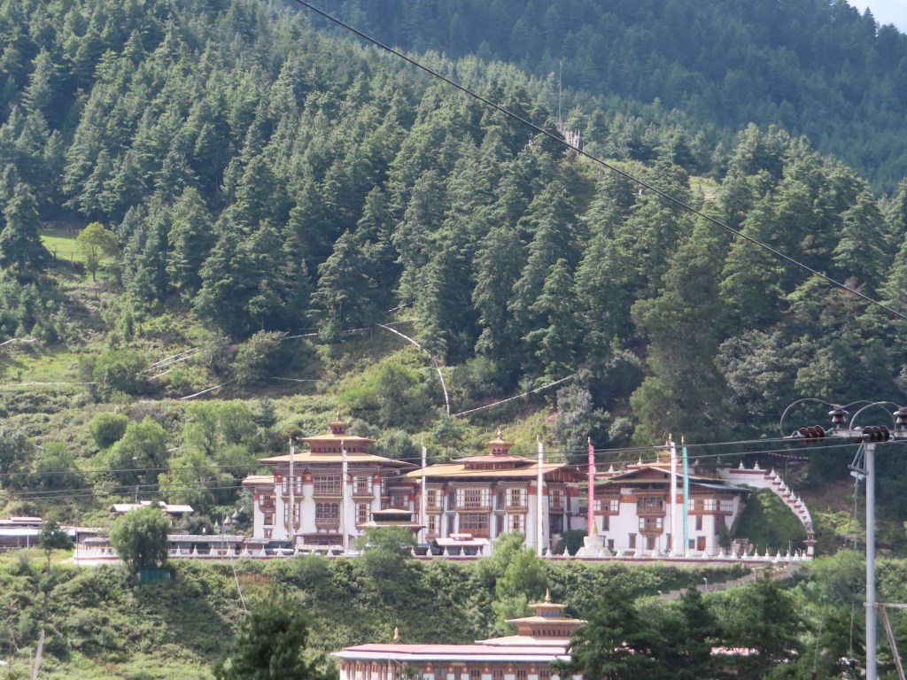
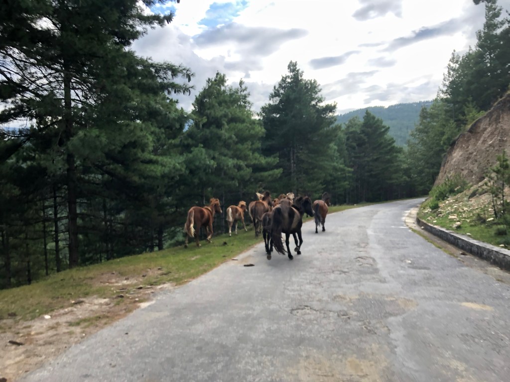
Following a picnic lunch, we visited a number of temples, all beautiful although admittedly some blended together, before arriving back at the lodge. In the late afternoon, I went on an eventful run, accidentally causing a stampede of horses and getting caught up in a traffic jam of cows. At the end, I was rewarded with a stunning view of the mountains covered by a rainbow (after off-and-on rain throughout the day).
Friday, September 20th:

Leaving Bumthang in the morning, we began heading back towards western Bhutan and Punakha, the old capital. It was a long drive (~6 hours) separated by a stop back at the Trongsa fortress that we had driven by a couple days earlier. Arriving in Punakha (and a welcome lower altitude of ~4500 feet), we had an early evening after the long travel day.
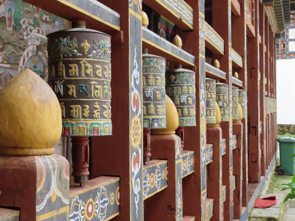
Saturday, September 21st:

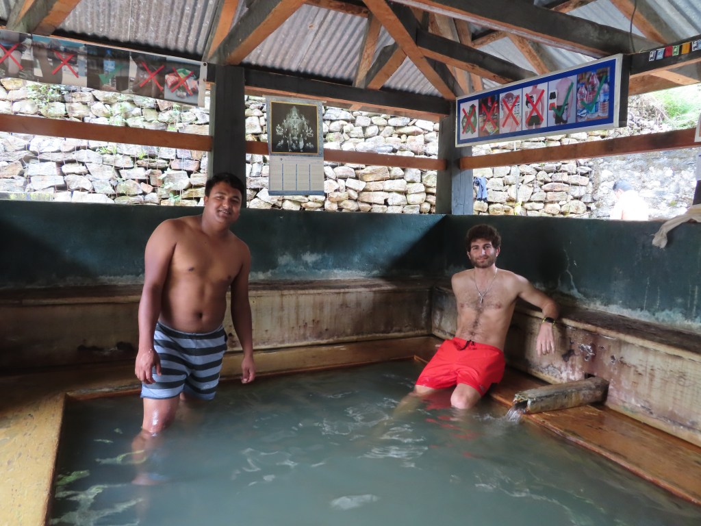
Taking a detour from the east-west path we followed over the course of the trip, we headed North from Punakha to the very rural and remote village of Gasa. There, we soaked in a sacred natural hot spring, enjoying a relaxing and serene afternoon before heading back to Punakha for the evening.
Sunday, September 22nd:

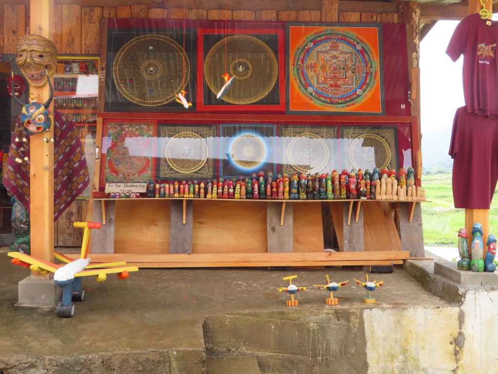
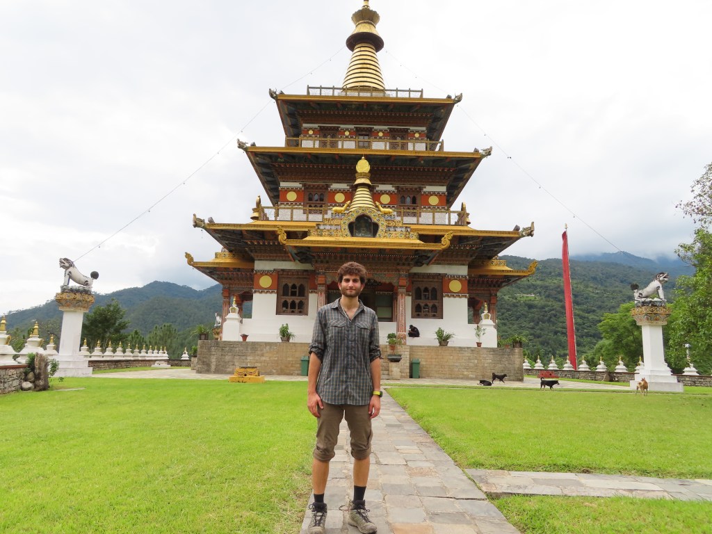
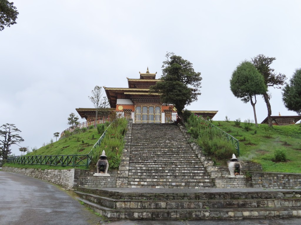
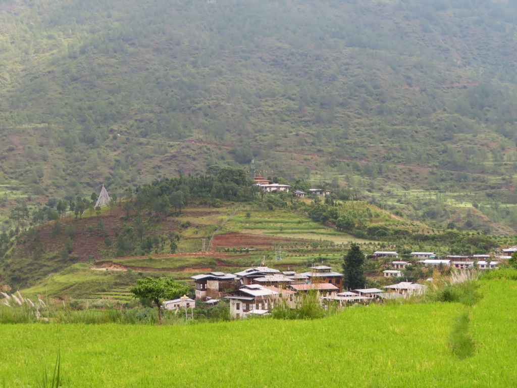
Before we set out back to Paro, the last “long” drive of the trip, we had a number of temples to visit in Punakha. Unlike in Bumthang, where the temples at times blended together, the first temple we visited in Punakha definitely stood out. Surrounded by a quaint village separated from the rest of town by rice paddies, the temple of the divine madman sits on top of a hill overlooking the town. The temple is dedicated to Lama Drukpa Kuenley, a 15th century monk with anti-establishment teachings (read outrageous). He was known for drinking heavily, sleeping with many women to “liberate” them and taunting the hypocrisy of the monastic order. The most notable/outrageous story about the Lama was his purported taming of a number of demons by converting his phallus into a flaming thunderbolt weapon. Today, the temple is dedicated to fertility and people from around the world (and of all religions) travel to the temple to pray for children. Predictably, the gift shops in the village surrounding the temple featured some ridiculous items.
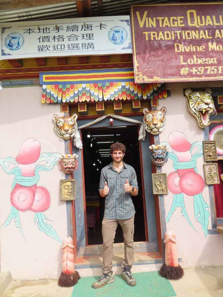
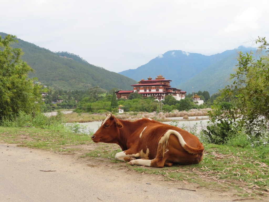
Next, we hiked up a small mountain to visit a more “conventional” monastery that also offered stunning views of the Punakha valley below. Finally, we visited the crown jewel of Punakha, the Punakha fortress. Known as the biggest and most beautiful fortress in Bhutan, the fortress sits at the intersection of two rivers and served as the seat of Bhutanese government until the capital was changed to Thimphu in the 1960s.
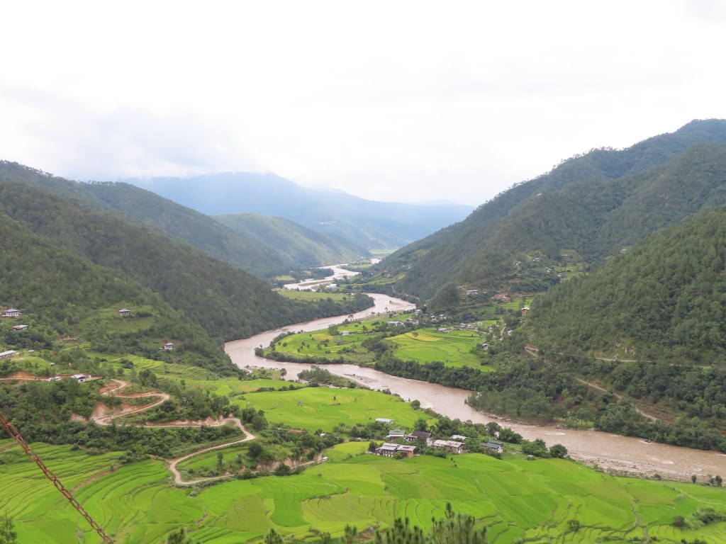
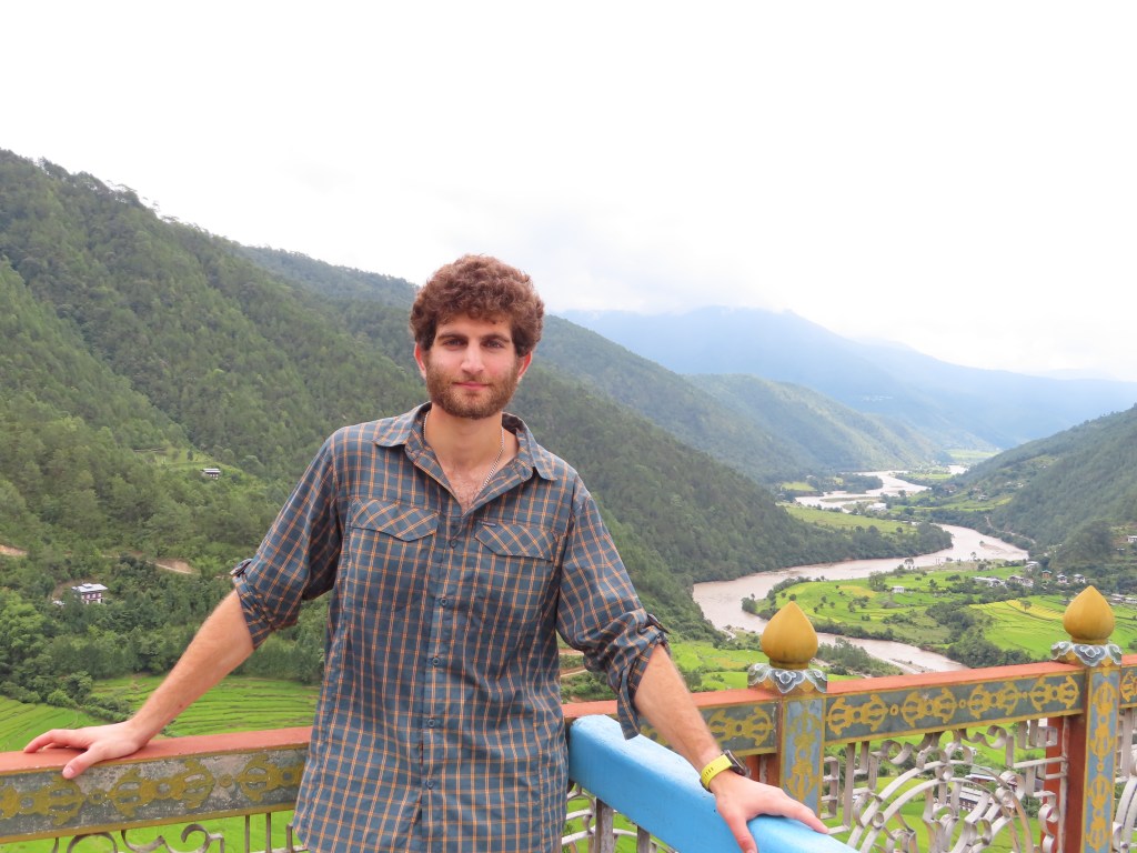
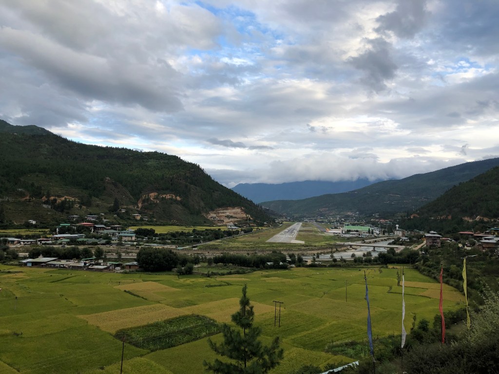
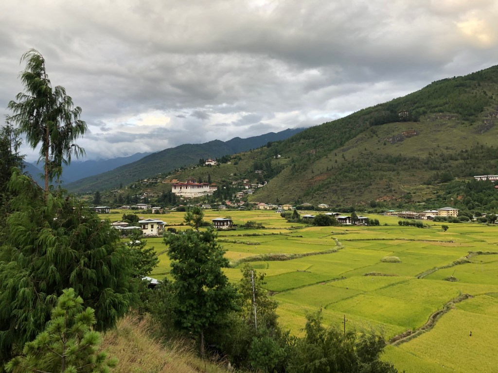
Leaving Punakha in the early afternoon, we arrived back in Paro a few hours later and checked into a hotel overlooking the airport. While “airport hotel” is generally not synonymous with an ideal location, Paro’s airport is a small structure surrounded by a beautiful valley and spectacular mountains. Furthermore, with just a handful of flights per day, there is hardly any noise making for the perfect setting.
Monday, September 23rd:

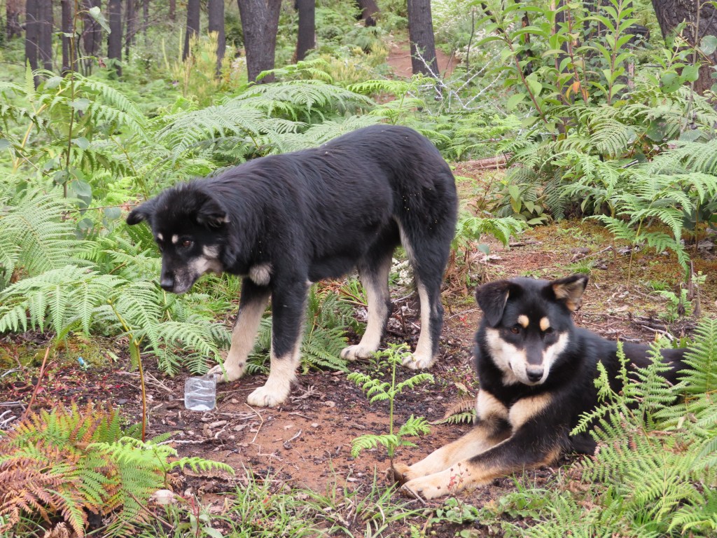
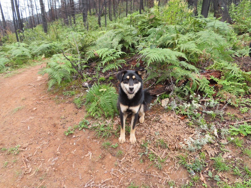
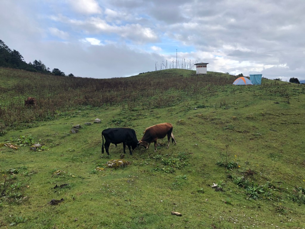
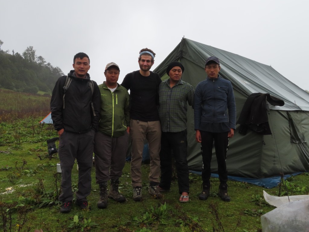
A couple weeks removed/recovered from my misadventures in Nepal at higher altitudes, I set off into the mountains again to hike up and spend the night near the Bumdra monastery (~12,500 feet) before descending down the other side of the mountain to visit the famed Tiger’s Nest monastery. Unlike my solo trek in Nepal, I was accompanied by my guide Tashi as well as an unexpected entourage of dogs. Setting off from a monastery overlooking Paro at ~9,000 feet, we were trailed by four dogs up the mountain. Encouraged by gifts of food and water including during our lunch break, the dogs followed us well over 12,000 feet and two of them actually slept outside our tent.
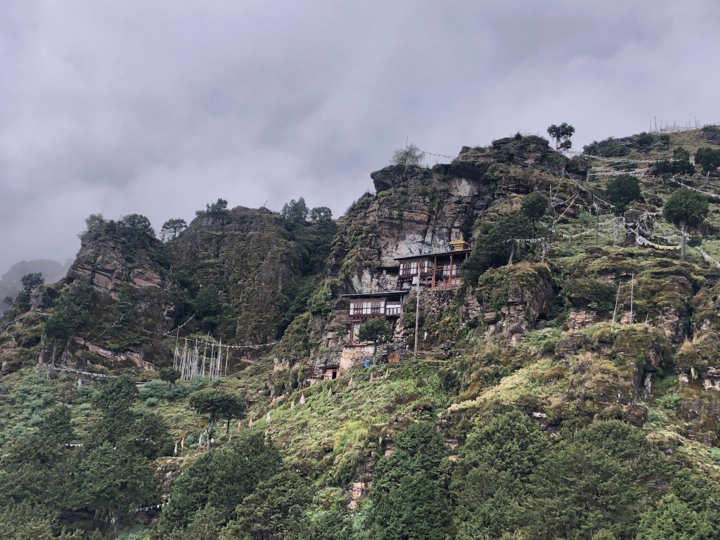
It rained intermittently, obscuring our vision of the valley below, as we wound our way up the mountains towards the Bumdra monastery. Fortunately, the weather began to clear as the precariously positioned monastery came into view. Used mostly for meditation (in 3 day, 3 month or 3 year increments), the small monastery is built into the mountainside offering stunning views of the surrounding valley. 
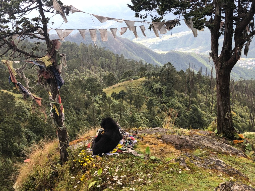
After walking around the monastery and seeing a few monks (it was easy to determine which duration of meditation they chose based on the length of their hair), we returned to our camp. Far from “roughing-it”, we were met by a cook and his assistant who had carted up a large propane canister and extensive cooking supplies on horseback and prepared a delicious dinner. After dinner, Tashi taught me a couple Bhutanese card games as we enjoyed (read endured) some Bhutanese whisky before calling it an evening.
Tuesday, September 24th:

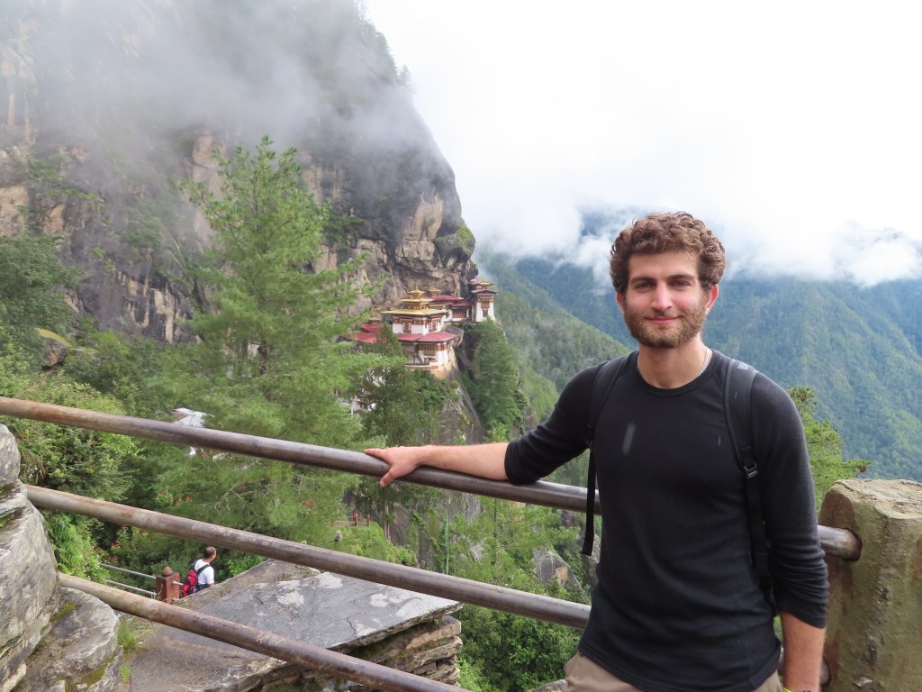
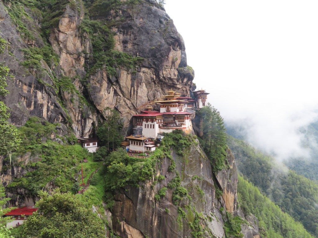
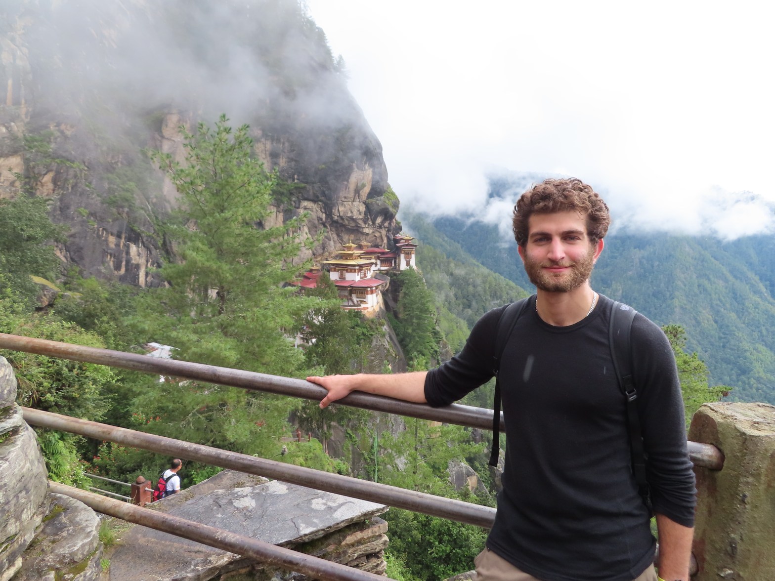
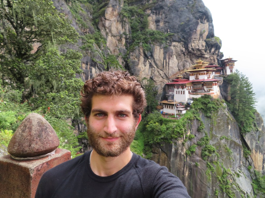
The 24th marked a minor festival day on the Bhutanese calendar and we enjoyed a butter-porridge for breakfast to mark the “last” rainy day of the year. Fittingly, it had rained all evening and we set out down the mountain in the rain after breakfast. Eschewing the traditional (and crowded) day hike from Paro to see the Tiger’s Nest monastery (~10,000 feet), we hiked down to the Monastery from Bumdra. Initially obscured by heavy fog, we approached the iconic monastery and encountered a mass of people, the first crowd I had seen in Bhutan. We briefly navigated through the crowds to visit the inside of the monastery before walking back up to see it from a distance as the sky cleared. 

Built into the side of a cliff, the Tiger’s Nest monastery is the most popular sight in Bhutan, both because of its spiritual meaning and its spectacular architecture. Marking the place where a guru pinned down a demon and meditated near a resting tiger, the 17th century monastery is truly stunning and pictures hardly do it justice. 
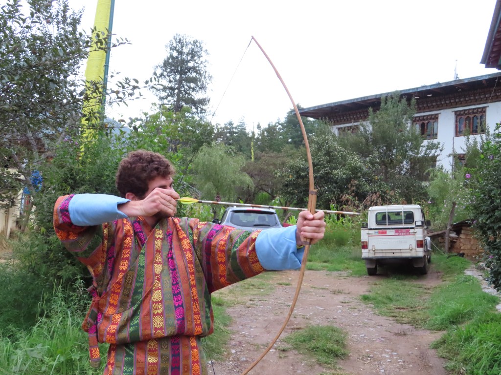
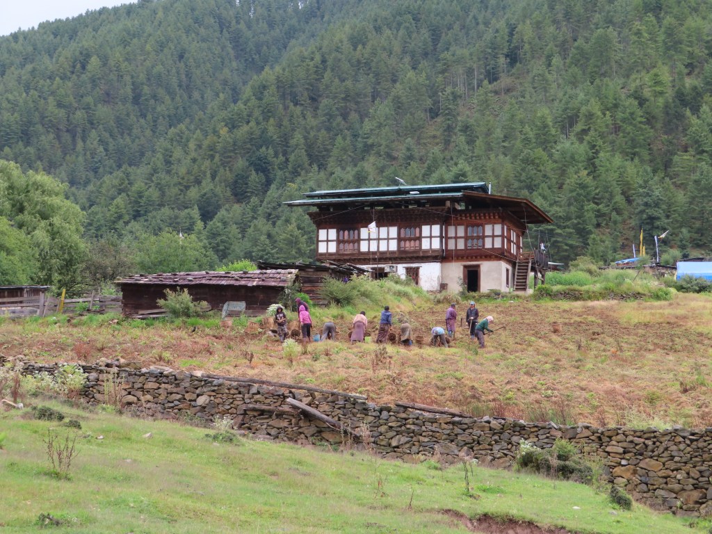
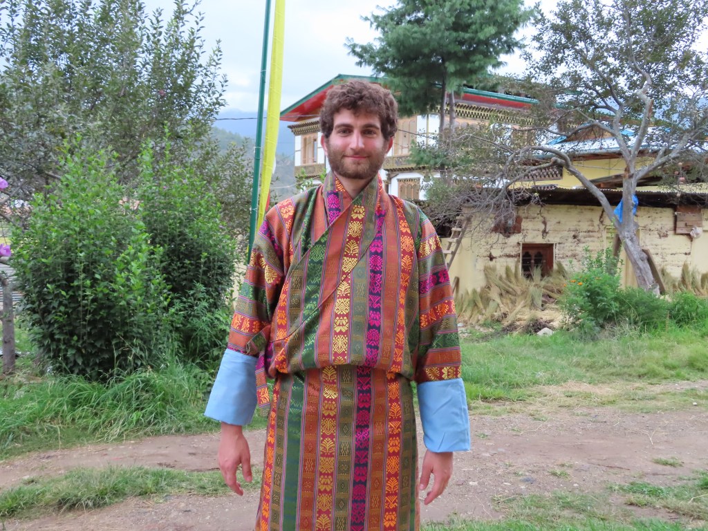
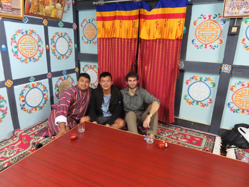
After visiting the monastery, we descended back to Paro. In the late afternoon, we visited a traditional Bhutanese farmhouse where I checked off a number of “tourist bucket-list” items that were nonetheless enjoyable. First, I dressed up in a traditional Bhutanese Gho, which was surprisingly uncomfortable for something that is worn everyday by many Bhutanese. I also tried my hand at archery, where I was no match for the Bhutanese even with a target that was much closer than their traditional ~450 feet. Next, I enjoyed a hot-stone bath, a bath where the water is literally warmed by pouring it over very hot stones. Finally, I shared a last traditional Bhutanese meal at the farmhouse with my guide Tashi and driver Kumar, finishing off the evening with an arak (rice wine) toast.
What’s next:

As with my plans in Nepal, my post-Bhutan plans have fluctuated a bit since I initially laid out my trip in August. Leaving Bhutan early on the 25th, I am spending the day traveling through Singapore to Munich. Arriving in Munich on the 26th, I plan to spend a few days in Munich before a quick stop in Florence and then returning to the US. Over my final two weeks off (before returning to the “real world” and work), I will be spending time in San Francisco, Los Angeles as well as an extended weekend back in Vermont. Thanks for following along!
Featured

The happiest country in the world?

September 9th-September 14th:

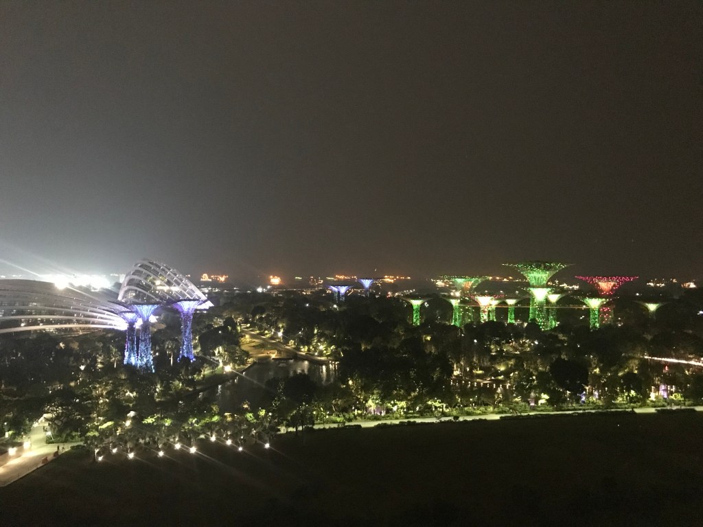
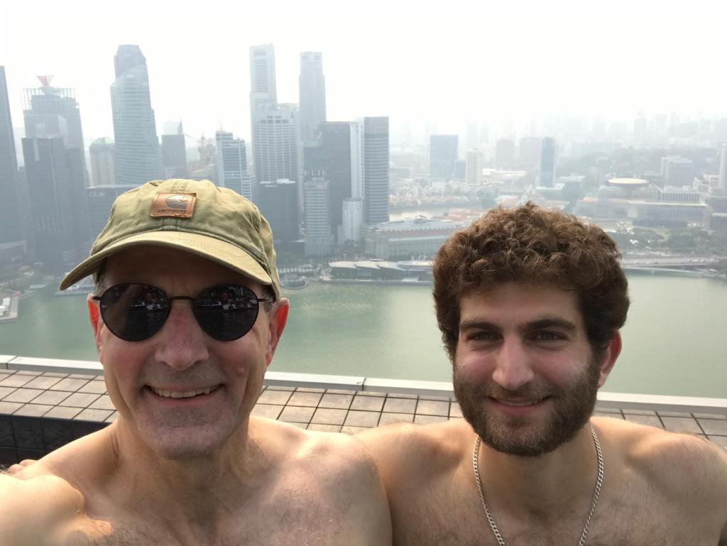
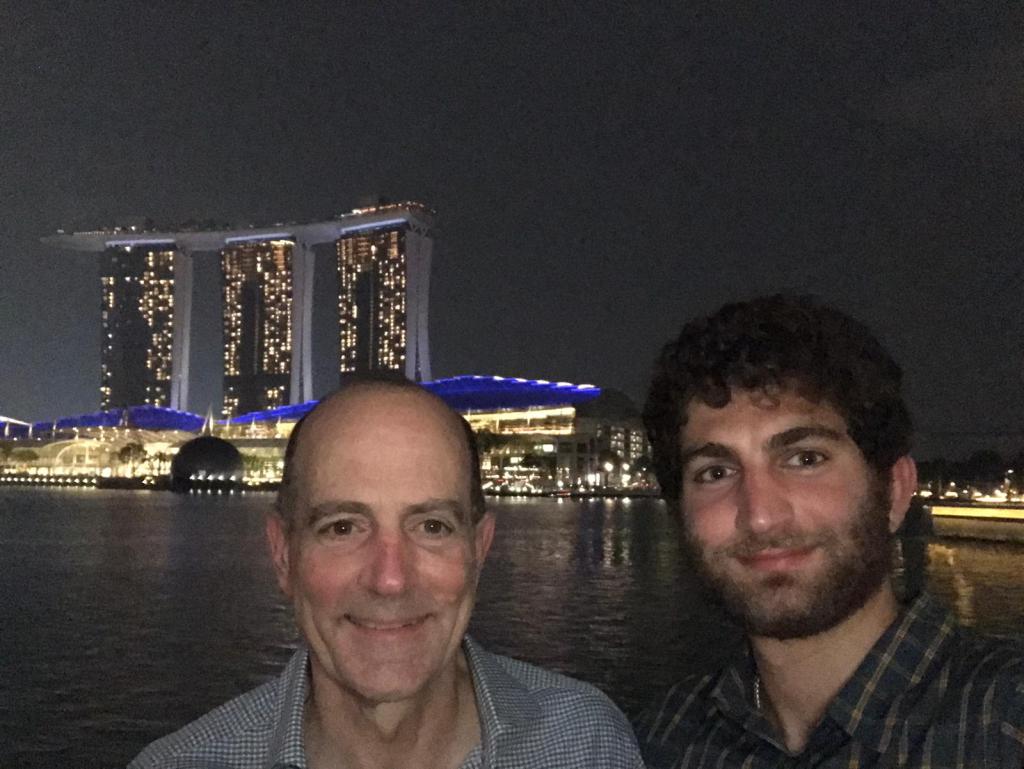
Arriving in Singapore from Nepal on the morning of Monday, September 9th, I spent the week recovering from altitude sickness and regaining my strength as I looked towards my planned trip to Bhutan at the end of the week. Coincidently, my dad happened to be coming through Singapore on a business trip towards the end of the week, and we were able to grab drinks one night and enjoy an afternoon/evening sightseeing and relaxing at the iconic Marina Bay Sands hotel the next day.

Sunday, September 15th:

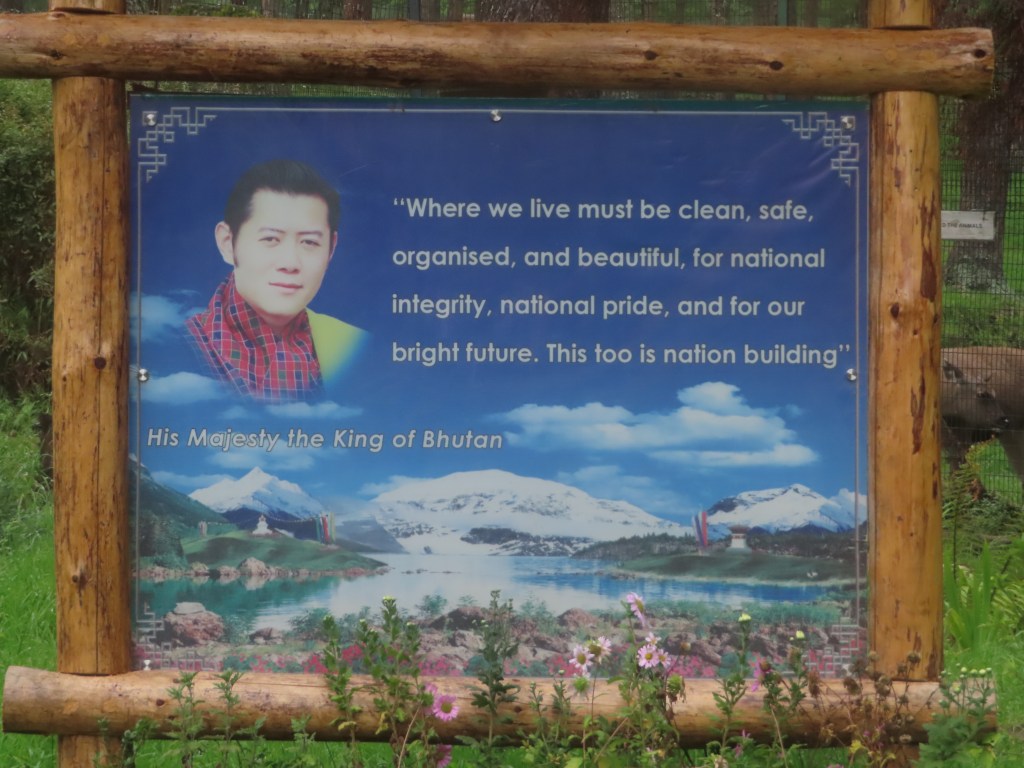
After a week of rest and good food, I was ready to resume my adventure and travel (back to altitude) in Bhutan. Bhutan is a small mountain kingdom to the Northwest of India and south of Tibet. It has never been conquered and pursued a policy of complete isolation from the world until the 1960s. Following the annexation of Tibet by China in the late 1950s, the King of Bhutan recognized the countries vulnerability as an isolated state of ~700,000 people. He began to slowly open up the country to the world, joining the United Nations and NATO as well as initiating a hydropower partnership with India. In addition, on the tourism front, the country decided to take a unique path aimed at preserving the culture and environment of the nation while also opening it up slowly to development. Beginning in the 1970s, Bhutan began allowing in a limited number of “high value” tourists, instituting a strict minimum daily spend that has allowed the country to profit from tourism without seeing the crowds or environmental/cultural degradation that tourism has brought to similar countries. In addition, the country controls tourism by requiring visitors to arrange travel through a government sanctioned agency and be accompanied by a guide while in the country.

With the advent of tourism (~50,000 international tourists visit a year) and growing relationships with the rest of the world, Bhutan has begun to modernize as is evidenced by improved infrastructure, internet reaching 40% of the country and running water/electricity/cell service nearly covering the entire country including the most remote villages. Despite the movement towards modernization, Bhutan has retained its Buddhist culture and commitment to the environment (the country is carbon negative and ~70% of the land is protected forest land). This has been aided by a policy of prioritizing “Gross National Happiness”, which might be more accurately translated as “Gross National Harmony” over GDP growth. In fact, the government measures their citizens happiness through a nationwide survey every few years, and all government policies are vetted based on their contribution to this measure. This is not to say that Bhutan is the “happiest country in the world”, although it is marketed as such, but it is clear that Bhutanese society operates with a degree of harmony unheard of in most countries.

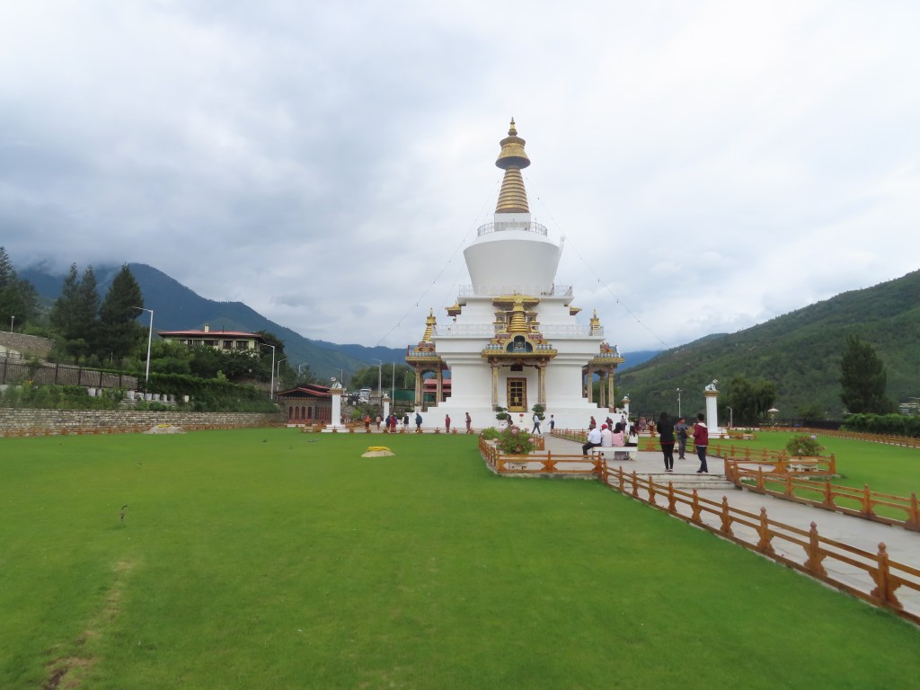
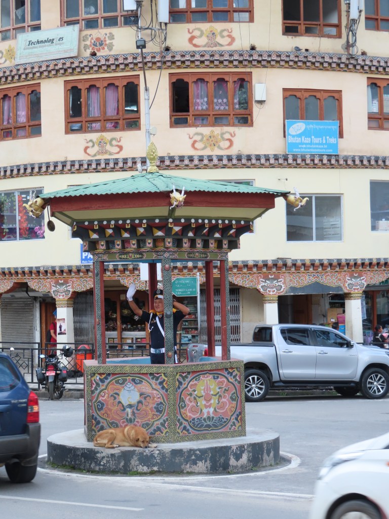
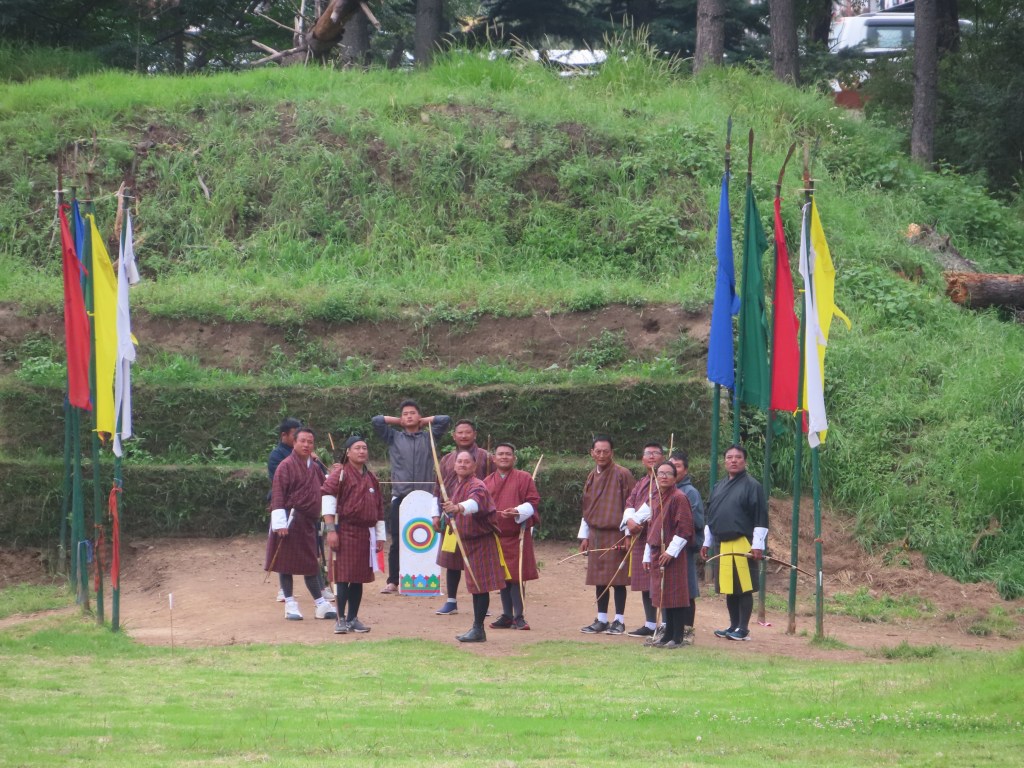
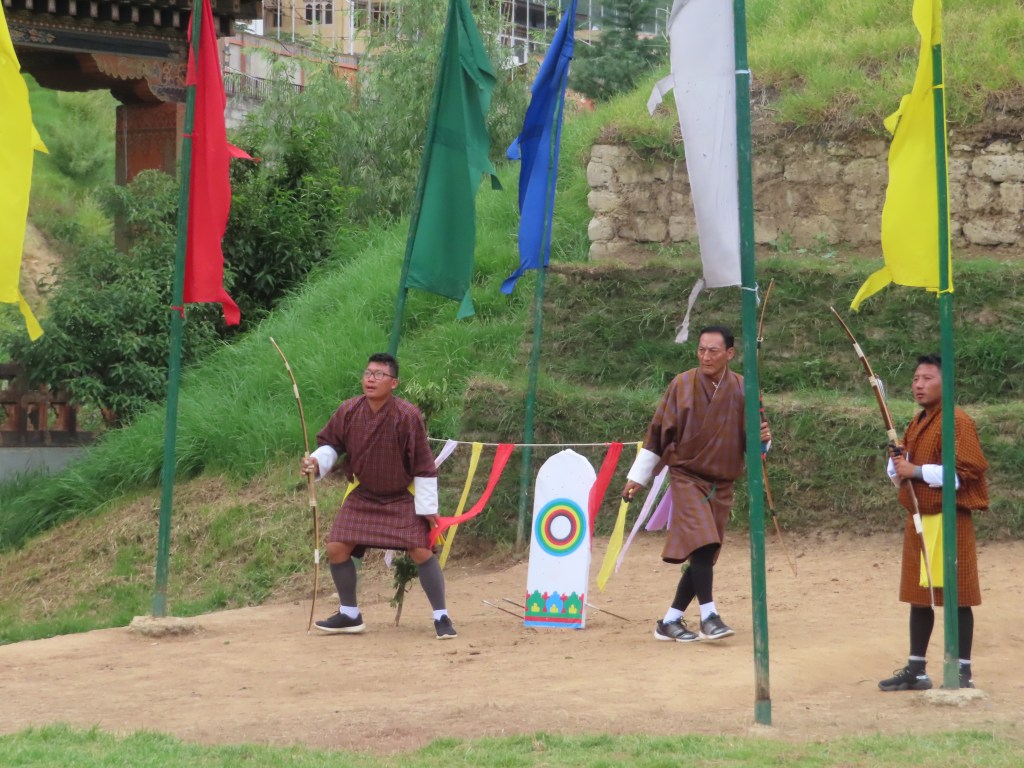
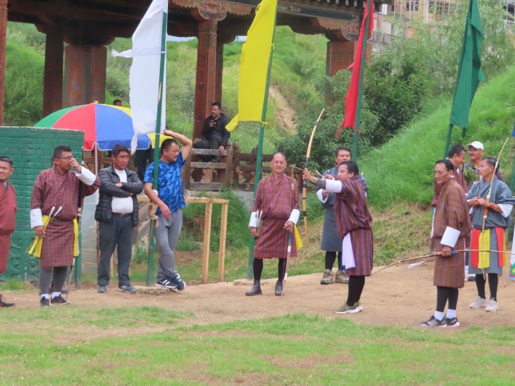
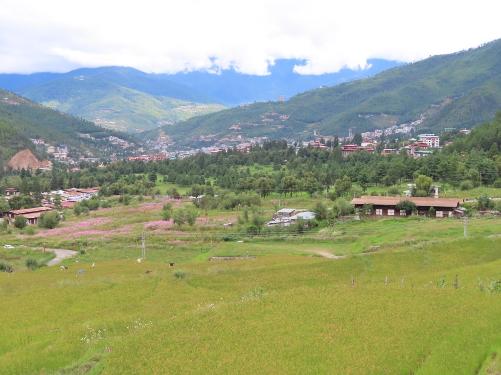
After a five hour flight from Singapore to Bhutan on Druk air, one of Bhutan’s two airlines, that featured a connection in Northern India, I arrived in Paro. Meeting my guide Tashi and driver Kumar, we set off on the winding mountain road towards Thimphu, the capital city. After a traditional Bhutanese lunch heavily featuring potatoes, hot chili and cheese, we stopped at the local market and drove through the downtown. Notably absent were traffic lights, instead at the biggest intersection a policeman directed traffic from a podium. We also visited the memorial Stupa, a temple dedicated to the late third king of Bhutan who ushered in the age of modernization in the 1960s. The highlight of the day was a visit to the archery grounds to witness Bhutan’s national sport. 

Archery in Bhutan encompasses two disciplines. The first is the more common modern archery where Bhutanese compete in Olympics with modern compound bows. The second is the traditional archery competition, which is more unique to Bhutan (and arguably more interesting). In the traditional competition, villages compete against each other, lining up on opposite sides of a field to hit a small target  ~450 feet away. Traditional wooden bows are used, and there is little opportunity to aim as the torque from the bow is too great to pause in the middle of a shot. This leads to a fairly nonchalant atmosphere as archers casually fire arrows across the field seemingly without aiming. Adding to the spectacle, the opponents yell across the field to mock the shooter while standing in front of the target. Most scurry out of the way as the arrow approaches, but there is occasionally a bolder competitor who confidently stands still and watches the arrow fly past. Given the lack of aiming and the immense distance, it is rare to hit the target and there can be upwards of 30 shots between successful hits. When the team does hit a target, it is immediately evident as they break into a choreographed celebration dance. While watching the competition, I was fortunate to see a number of successful shots (and subsequent celebrations), while avoiding any close calls as the archers kept their arrows relatively on target and away from the stands.

Monday, September 16th:

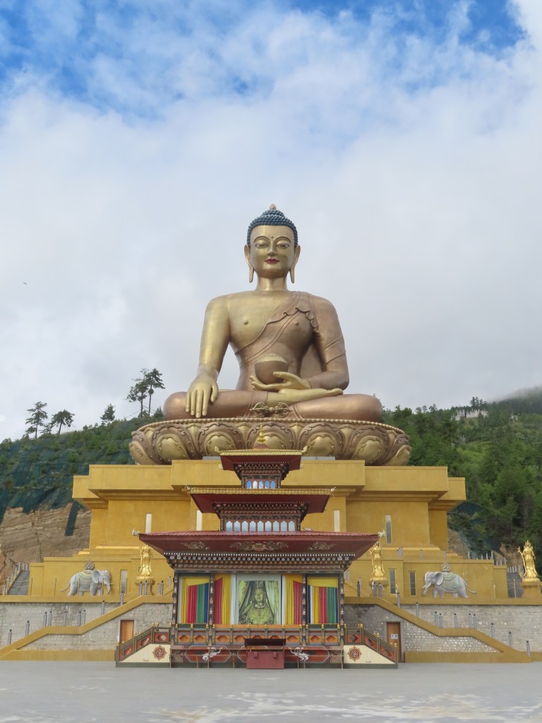
After a good nights rest to recover from the early morning flight and time difference, we set out on our whirlwind tour of the capital city of Thimphu. Beginning with the most iconic/visible sight, we drove up into the hills surrounding the city to visit the giant golden Buddha statue. At a height of nearly 200 feet, the statue was truly impressive as was the beautiful temple inside.

Next, we set off on a short hike from the statue, walking along a ridge that offered beautiful panoramic views of the city. Along the way, we encountered countless stray dogs and wandering cattle, a preview of the vast quantity of animals roaming the cities, highways and rural villages. 

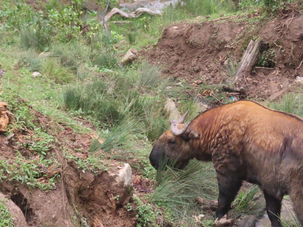
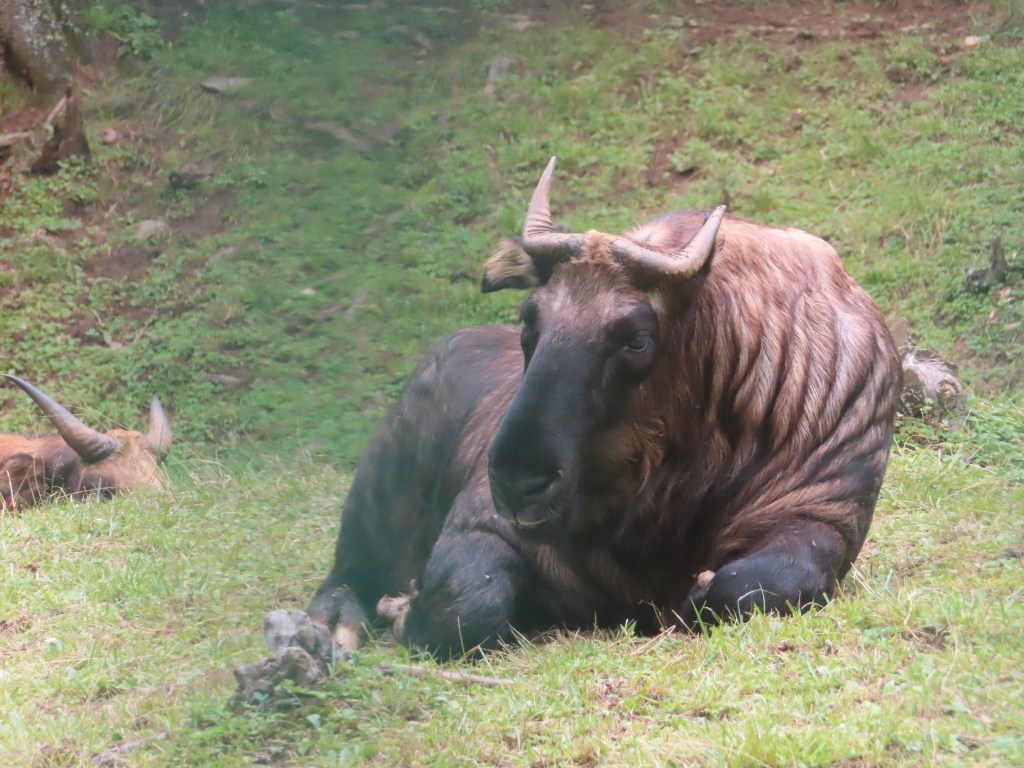
Following the hike, we visited a whirlwind of temples, factories (including a hand-made paper factory) and temples/monasteries. We also caught a glimpse of the Takin, a strange looking cow-like creature that is Bhutan’s national animal. Often found at high elevations (over 13,000 feet), there is a rescue reserve for Takin and deer found in the aftermath of wildfires on the outskirts of the capital, allowing a close up view of the odd animal.

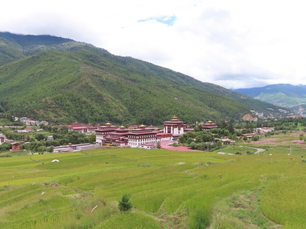
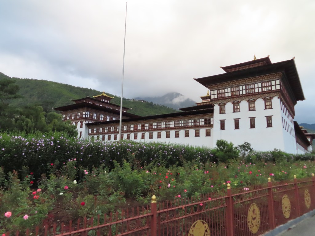
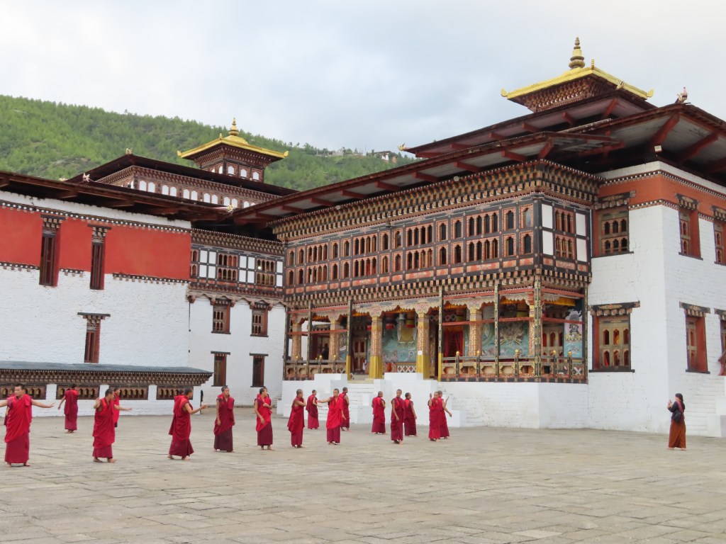
The highlight of the day was a visit to the fortress which houses both the monk and government authorities. Each major center in Bhutan has a fortress and by law they are each split along the middle between civil and religious authority. Next to the fortress, we also caught a glimpse of parliament and the King’s palace. The parliament is notable as Bhutan became a parliamentary democracy in 2008. Unlike the traditional path to democracy that often features protests and/or the overthrow of a monarch, Bhutan’s King decided that it was time for Bhutan to become a democracy. At first, the country was uncomfortable with the idea and only after the King went from village to village to talk with the people (a possibility in such a small country) did the country become more comfortable with the idea. Even now, the King retains some power and is able to name ~10% of the legislature, but otherwise the path to democracy has gone relatively smoothly.

Tuesday, September 17th:

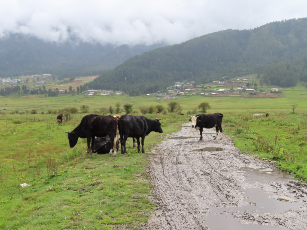
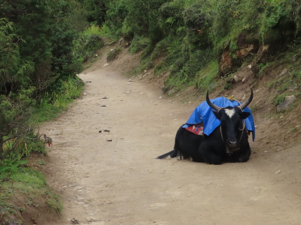
Leaving the confines of the “big city”, we wound our way through the mountains towards the center of the country and the Phobjikha valley. While there has been significant improvements in the quality of the roads of Bhutan over the past 20 years (aka now mostly paved), the winding highway is a far cry from a smooth journey. Tight blind turns necessitate slow speeds, and the road is frequently washed out due to erosion, flooding or landslides. In addition, cows and dogs are absolutely fearless and stand (or even lie down and sleep) in the middle of the road. Over my first few days in Bhutan, the only times I have heard horns used are to attempt to clear the cows off the road.

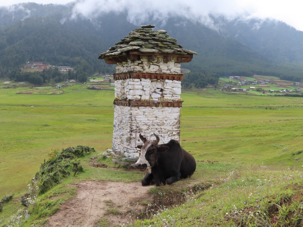
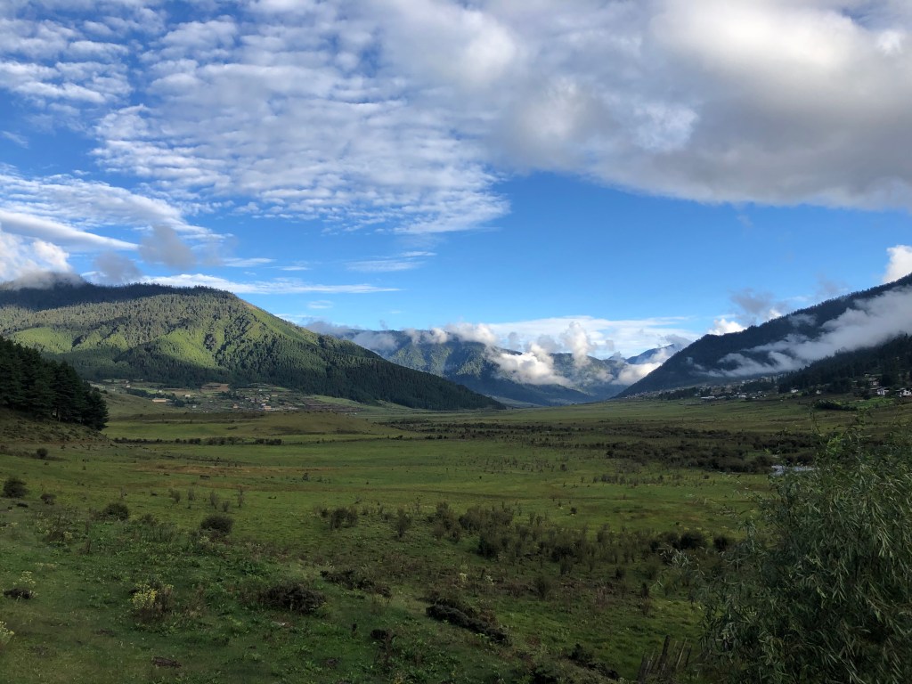
After a ~4 hour drive broken up by stops at a couple temples (of course) and lunch, we arrived in the “high altitude” valley of Phobjikha. At ~9000 feet, it serves as the winter home of the holy black-necked crane from October-February. The valley is beautiful (even with the cranes absent for another month) and we hiked through small villages, wetlands and cow pastures. Later in the afternoon, I went on a beautiful run dodging the “traffic” of cows and dogs along the muddy roads. For dinner, we stopped at a local restaurant and I sampled some strong (8%) Bhutanese beer.

Featured

(Mis)adventures in Nepal

I had started to write a day-by-day account of my time trekking in Nepal, but after the last few days I decided not to bury the lead given the blog’s title. Suspense, after all is great for novels, but I have found is less appreciated by family/friends when my health is the subject.

That said, I am currently resting and recovering in Singapore after an unfortunate bout of altitude sickness in Nepal. While weak and about 16-18 lbs lighter than I was when I got to Nepal just over a week ago, I am on the road towards better health after visiting doctors both in Kathmandu and Singapore.

In an ideal world, I will be able to recover over the next few days and proceed as planned to Bhutan on Sunday morning to continue my adventure

So what happened?

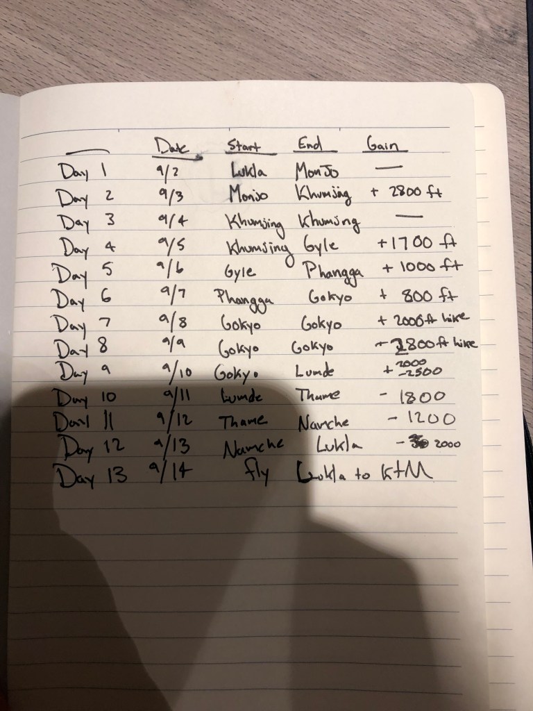
When I arrived in Nepal on the evening of August 31st, my plan was to load up on supplies in Kathmandu before flying to Lukla, a small town at around 9,000 feet that serves as the entrance to the “Everest region”. From there, I would spread the hike to Gokyo (around 15,700 feet) over 6 days, allowing both for acclimatization days and a “slow-ish” rate of ascent for the 30 mile journey. I say “slow-ish” as the hike is recommended to take around 8 days to avoid altitude sickness and in retrospect, spreading it over a couple more days may have prevented me getting sick.

The original plan (things went a bit off the rails after day 4)

The inspiration for Gokyo was my friend Derek, who did the same trek in March 2018 and raved about the stunning views and comparatively less crowds than Everest basecamp. Gokyo is a a beautiful village on the banks of a glacial lake, from it there are a few day hikes offering beautiful views of the 6 sacred glacial lakes (Gokyo sits on the 3rd) as well as panoramic views of some of the tallest mountains in the world (4 of the 6 tallest to be precise).

The first few three days went to plan as I climbed up from Lukla (9,000 feet) to Khumjung (12,000 feet), minimizing my ascent on the first and third day to adjust to the altitude. On the fourth day, I climbed from Khumjung to Dole (13,500 feet) by lunch time. While chatting with a couple German hikers at a tea house (also hiking without guides or porters), an Australian couple walked in with their guide and porter. Their guide kindly passed around a pulse oximeter to measure how well we were adjusting to the altitude and my reading was a bit low. The guide recommended I stay in Dole for the evening to rest rather than continue on with the German group to the next town an hour onwards (and about 500 feet higher).

Having begun feeling tired/nauseous from the altitude that morning, my symptoms only worsened during the evening as I waited it out. In the morning, I spoke with my parents and they wisely advised that I should descend. Fortuitously, I didn’t put up much of a fight in my weakened state and began hiking down towards Namche Bazar, a larger town at about 11,000 feet. The hike down is actually quite challenging as the trail descends from 13,500 feet to almost 12,000 feet at the town of Phortse Tenga, before rising up to 13,000 feet and the town of Mong La. Finally, it descends to Namche Bazar at around 11,000 feet.

Feeling even weaker the next morning, I continued my descent to Lukla, hiring a porter for the first time to help me carry my bag back. The ~12 mile downhill hike felt even more difficult than the previous day’s descent at a higher altitude, but I eventually made it down to Lukla at 9,000 feet.

With no major improvement, I flew out of Lukla the next morning to Kathmandu (around 4,500 feet). I was quickly checked out at a medical clinic in Kathmandu to ensure I was ok to fly before flying to Singapore that evening. Arriving in Singapore on Monday morning (the 9th), I went to another medical clinic and was put on an IV as I began the rehydration and recovery process.

Lessons learned:

While altitude sickness can be a bit random (even Sherpas and porters who have lived their life at altitude can get it on occasion), there are definitely ways to minimize its likelihood. I thought I was being cautious enough taking an acclimation day, but little things like hiking too fast each day probably contributed to the likelihood of illness. In addition, while there is nothing wrong with hiking solo (without a guide or porter), in the early hiking season before the crowds I had limited interaction with other other hikers. This may have also delayed my recognition that my symptoms meant I should probably pause or turn around.

Should I be healthy enough to go back to altitude (albeit a little lower in the 7,000-11,000 foot range), there are a few things I can be a bit more cautious about as well as my (hopeful) next trip to Nepal in the coming years.

Pictures along the way:

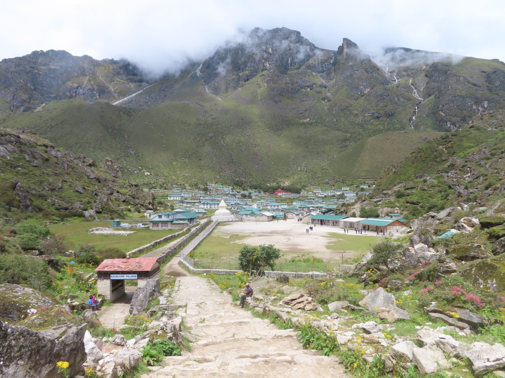
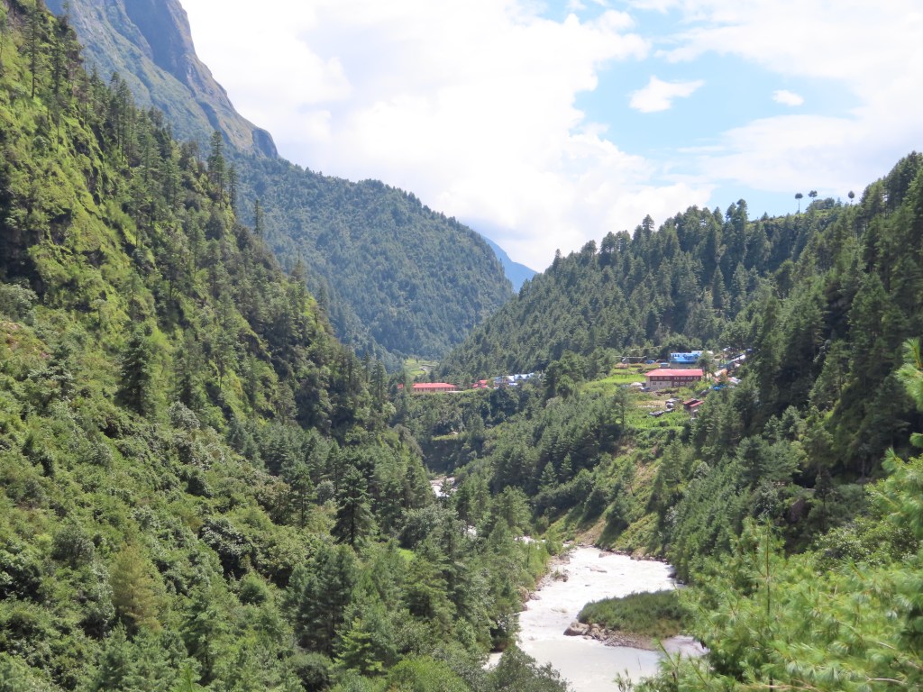
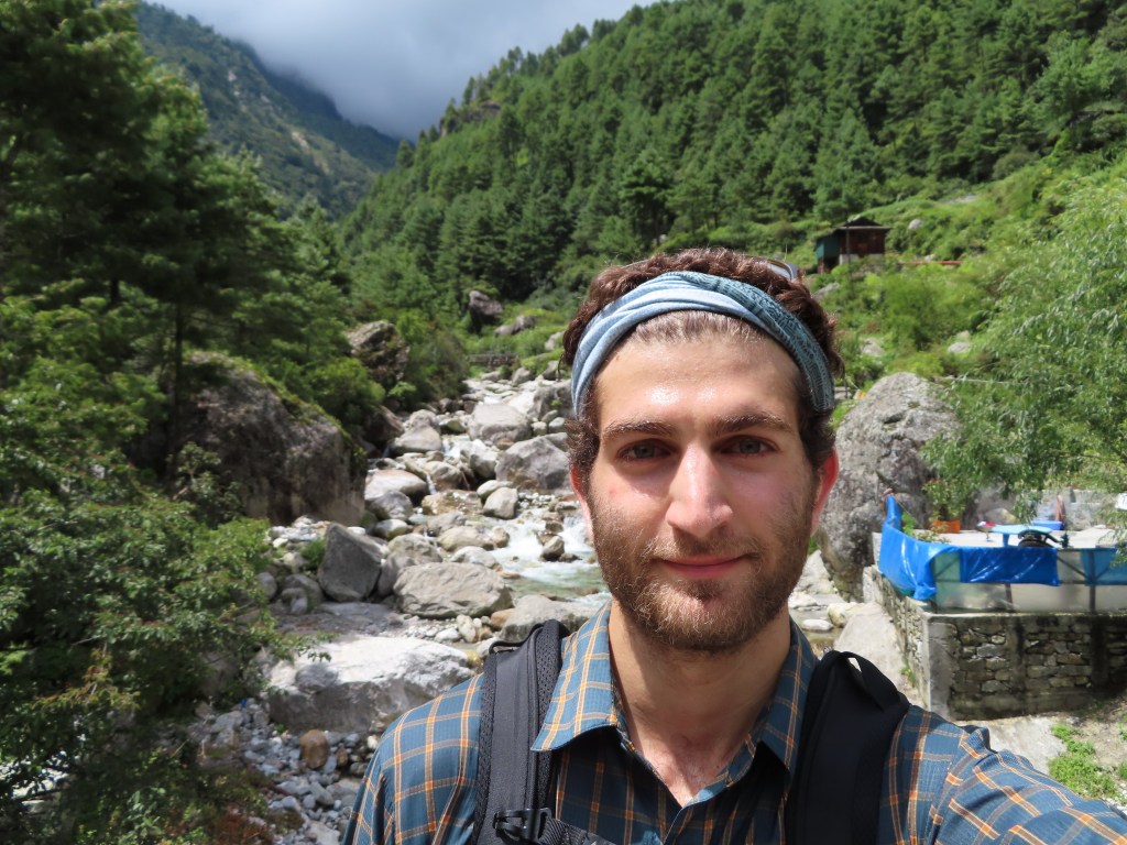
While I didn’t get to my intended destination (and the clouds blocked out much of the view of the taller mountains along the way), I did get to enjoy some pretty spectacular views of the valleys, rivers and small towns of the Everest region. Hopefully, there will be a next time in Nepal where I can try again to reach Gokyo and enjoy some of the most stunning views in the world.

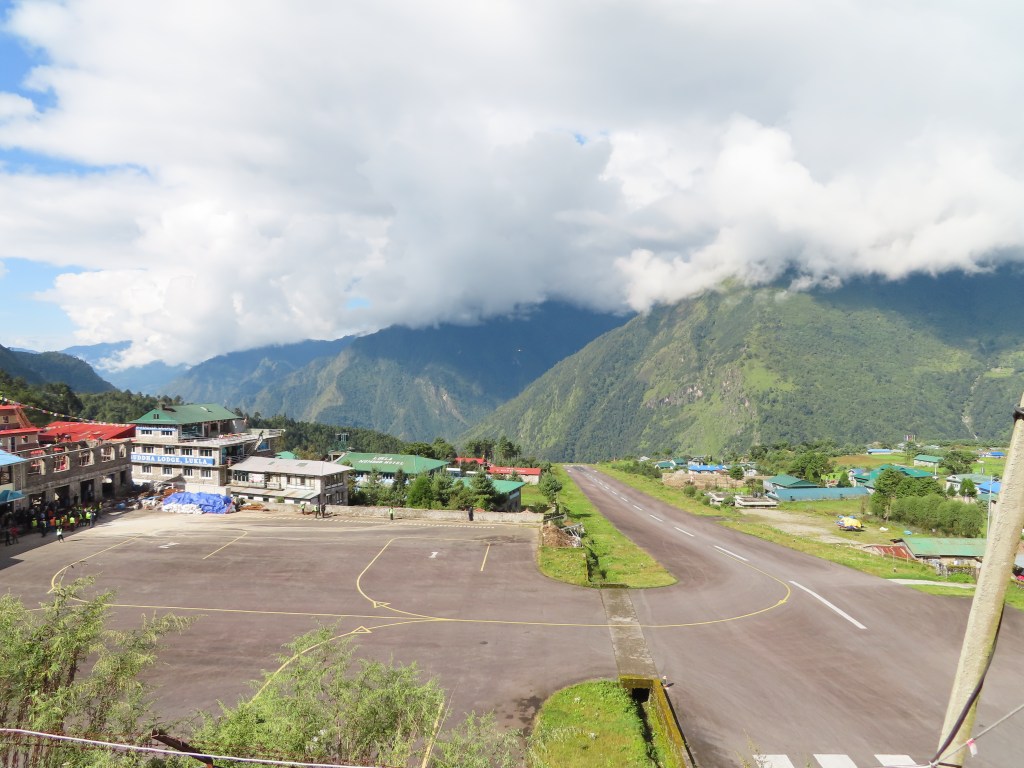
Lukla airport, the “most dangerous airport in the world” with a slanted runway to slow down landing planes and speed up planes taking off on the shortened runway

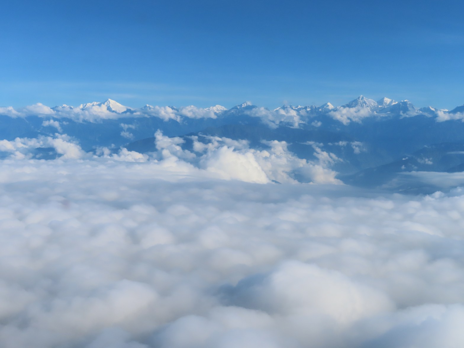
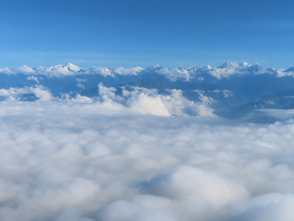
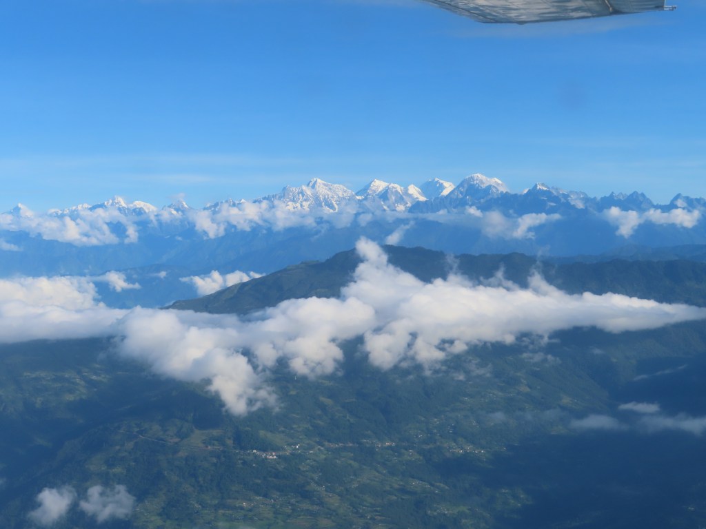
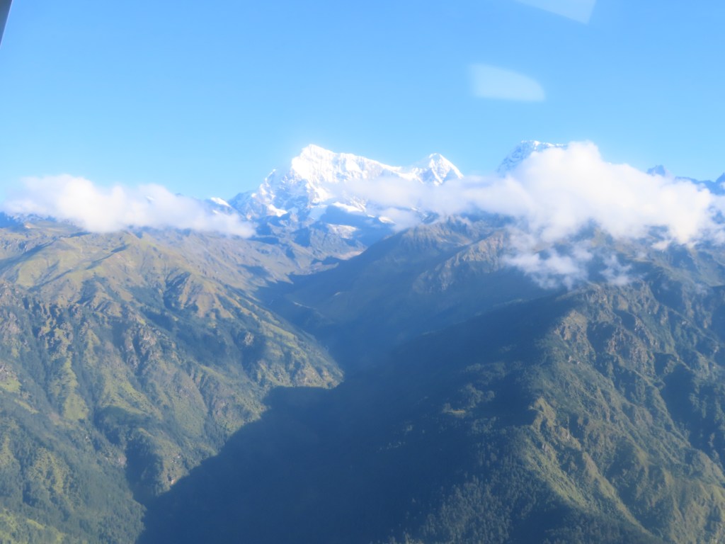
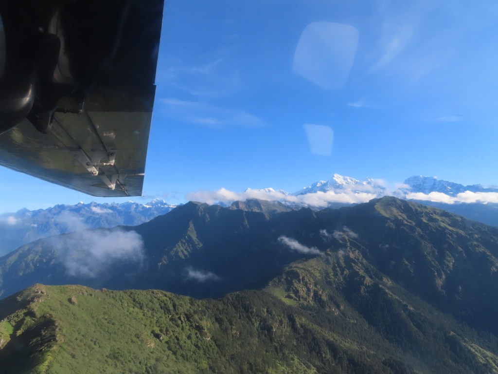
Himalayan views from the plane

Appendix (day-by-day before I started feeling sick):

Sunday, September 1st:

At just under a mile high, Kathmandu sits in a valley surrounded by high peaks, making for a dramatic skyline in any direction. Nepal’s capital is a bustling, dusty city and some locals wear masks to protect themselves from the polluted air. The city isn’t without its charm and is known for is beautiful temples, but the real attraction (in my opinion) are the surrounding wilderness that it provides access to.

While I may have a day for touring Kathmandu at the end of my trek, my first day in the capital city was dedicated to picking up colder weather gear, permits and a plane ticket to the mountains. Thamel, the tourist area of Kathmandu, is filled with expedition shops selling knock off winter gear, travel agencies selling tours and plane tickets, souvenir shops and money changers. Navigating the area is a bit overwhelming with everyone trying to approach you and sell you something.

My first foray into Thamel was dedicated to dropping off my laundry and finding breakfast. Somehow, I picked up a Nepalese graduate student in the process intent on showing me around. After a local breakfast of lentils, potatoes and a hard boiled egg, he took me around a Buddhist monastery and explained the numerous prayer wheels to me. Next, he took me to a shop (somewhat to be expected) selling mandala, beautiful hand-painted images to display in the home and use for meditation. After the hard sell failed and he realized I was content to just look and take everything in, he pitched being my guide for the rest of the day. My only escape was to return to the hotel.

I was more focused in my second foray into town, negotiating for a plane ticket, gear and snacks for my trek without incident. 

Monday, September 2nd:

I had read about domestic flights out of Kathmandu being a free-for-all and the airport lived up to expectations. Attempting to check-in for a 7:30am flight around 6:15, I was given a ticket that had no resemblance to my confirmation number, hurried to the gate and my bags taken (hopefully checked). Apparently, I was being moved to an earlier flight (which I was fine with provided it took off, always a question with the frequently changing weather). After a two hour wait on the tarmac, the engine revved up and we took off on the ~25 minute flight to Lukla. While partially obscured by clouds, the views of the mountains were beautiful. However, it was a bit hard to focus given the impending landing that has made Lukla famous. 

All of a sudden, a tiny airstrip appeared between the mountains and the plane rapidly touched down, utilizing the entire length of the uphill runway (to slow down landing planes and speed up planes taking off) before making a rapid turn into the “gate” area. After taking a couple minutes to recover, I did go to a viewpoint to watch other planes landing and appreciate the incredible feat that the pilots pull off routinely

Trekking on September 2nd:

Distance: ~8 miles

Elevation: Lukla (9,300 feet) to Monjo (9,300 feet) with lots of ups and downs in between

After landing in Lukla and picking up breakfast, I hiked through the village of Lukla and began the path towards Namche Bazar (my destination tomorrow). The path is rocky at points, but relatively well maintained as evidenced by the frequent maintenance that I observed. 

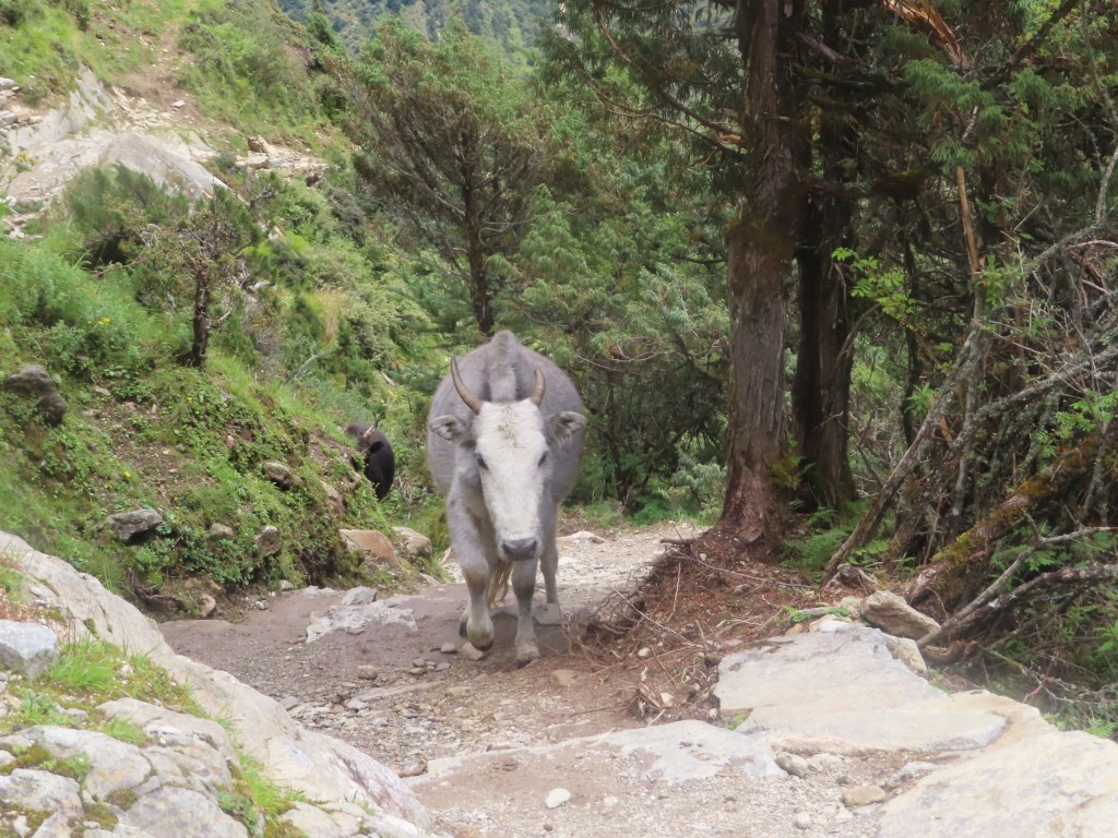
After an hour, I briefly stopped for lemon ginger tea and attempted to speak with the proprietor, an elderly Nepalese man, who asked me where I was from and complained about the traffic the ox and yak trains bring through his village, leaving “shit” (his words) everywhere in their path. Later along the trail, I stopped for a bathroom break in Phakding and met a few children that must have not been more than 5 years old. After attempting to spoon feed me some variety of milk team and cracking themselves up, I gave high fives to my new friends and set off again down the trail.

Towards the end of the journey, I picked up a porter as a walking companion and he asked about my route. He exclaimed that the Renjo La pass I am planning to cross is “very easy”, which didn’t give me confidence given the ease that he carried his load that was likely three times the weight of my pack.

Eventually, I crossed the river on a suspension bridge (surprisingly stable) and entered the town of Monjo. Entering a town has a different meaning in the Himalayas as many towns are along the mountain path, meaning that there is still a serious up-hill walk to get to your destination. I settled down in a quiet tea house for the evening, reuniting with a fellow passenger from the morning’s plane flight. Tea houses are a staple of trekking in Nepal, offering a room for a nominal price (~$5). In addition, they serve meals and occasionally offer additional amenities such as WiFi (often $5), hot showers (often $5) and battery charging (ranges from free to $3 per device). Evidently, the hot shower option was not available at my tea house in Monjo and I settled for a cold shower before drifting off to sleep.

Tuesday, September 3rd:

Distance: ~3.5 miles

Elevation: Monjo (9,300 feet) to Namche (11,300 feet)

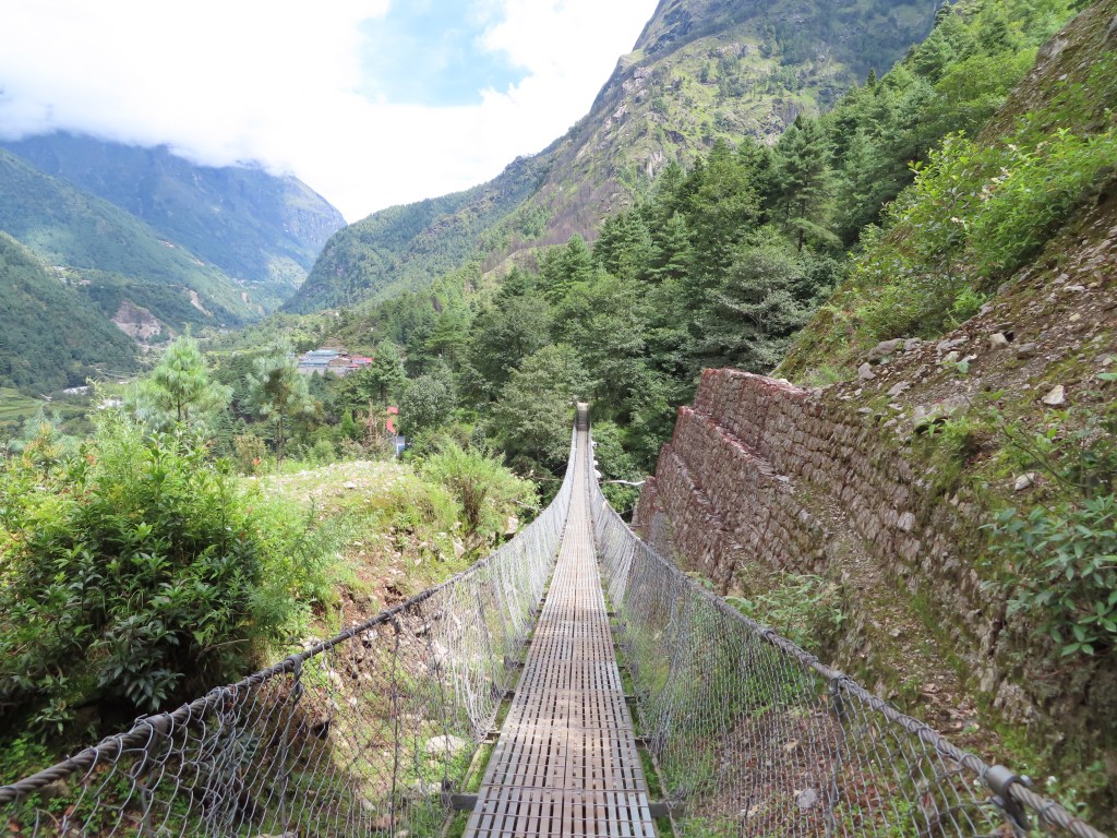
After pouring all evening, the rain subsided by the early morning, offering a relatively dry journey to Namche. The trail began with a steep downhill and undulated as I seemed to give back every foot I gained, a tease as I anticipated the eventual 2,000 foot straight up climb to Namche. After a few perilous river crossings on increasingly high suspension bridges, the actual climb began. Endless switchbacks brought me higher and higher above the valley floor until I eventually reached the police checkpoint on the outskirts of Namche. Along the climb, the clouds obscured my first view of Everest, although Derek reported the first view is nothing compared to the view above Gokyo. 

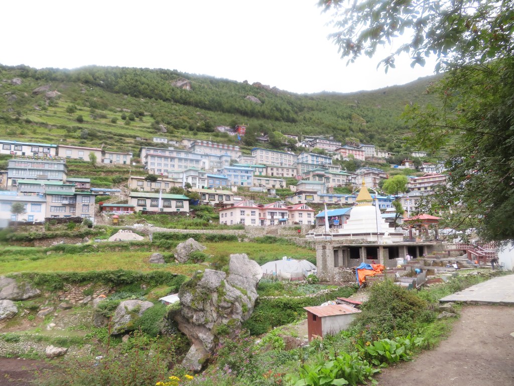
After displaying my permits to the policeman, I continued my climb into Namche. True to my observation yesterday on the trek required to actually walk through a village, Namche sits on a massive hill and my lodge was 400 feet above the town entrance. 

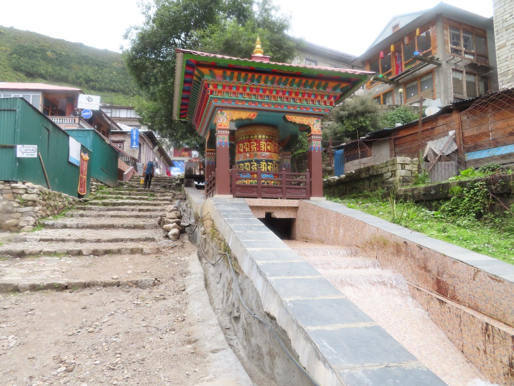
Settling in, I took an (actual) hot shower, napped and then began exploring the Sherpa capital. This included stops at the Sherpa museum above the town as well as the water-driven prayer wheels. Afterwards, I wandered the streets, stepping into endless gear shops resembling Thamel in Kathmandu. Apparently, within a few weeks Namche is packed with tourists as it is a stop on the Everest Base Camp trek, yet the crowds are hard to imagine in the quiet of the early season, I am the only guest at my tea house.

Dinner at the tea house was the famed Dhal Bhaat (essentially rice, lentils and vegetables) which will serve as my staple during my mostly-vegetarian diet in the Himalayas. 

Wednesday, September 4th:

Distance: unknown (Khumjung is off the main path), likely 6 miles with the back and forth

Elevation: Namche (11,300) to Everest view lodge (12,700) to Namche (11,300) to Khumjung (12,100)

Mostly an acclimatization day (limited elevation gain between Namche and Khumjung), I hiked up to the famous Everest view lodge for my first view of the tallest mountain in the world. Again, my attempt is foiled by the clouds and I settle for a hot cup of tea. Hiking down again back to Namche, I encounter my first major “tourist traffic” as a 27 person group heading to Everest Base Camp is climbing up the lodge on their acclimatization day. I briefly chat with their guides, who seem jealous of my “small” group of one as they wrangle their large caravan. After requesting a selfie with me (perhaps I will get it one day on social media), I continue on my climb down into town.

After an hour packing my big bag and chatting with the father of the tea house owner, he is a Nepalese travel agent who has been to California many times and had just returned from a trip to Utah’s national parks, I began to retrace my steps up the mountain towards Khumjung. Fortunately, he recommends a more direct route and I am spared retracing my exact steps to Everest View Lodge, although at times it feels like the “direct” route is another way of saying the steeper route. Along my hike, I reflect on the lodge owner’s father’s answer to my question about tourism in Nepal. Even as someone who has made his living in the travel industry, he admitted how crazy it has gotten, ruining the character of some cities (including Namche Bazar). Something to ponder on my visit to Bhutan in a couple weeks, where tourism has been limited to preserve the country’s character.

An hour after leaving Namche, I arrive in Khumjung and look to put my pack down and rest. The combination of climbing with a daypack in the morning and having overpacked (I’ll just call it strength training) has created an added challenge. Fortunately, my major hiking in Gokyo will consist of day treks when I can leave my big bag in the Tea house. Settling into a typical tea house for the evening, I am again the only guest. I am hoping the smaller towns with fewer tea houses located further up the trek will lead to more company, although the quite is nice and I am glad there aren’t any 27 person tours going along my route. 

Featured

The land of 1000 hills

Monday, August 26th:

A multi-discipline travel day, we set off early from Mahale on a 90 min boat ride along Lake Tanganyika to the airstrip. Despite calm waters on previous mornings, we were treated to a final exciting journey on the lake as the wooden boat rocked violently back and forth between the swells. Arriving at the airstrip, we transitioned to the air portion of our journey, a 90 minute flight to Kigali, the capital of Rwanda. The flight included a stop off in Kigoma to “check-out” with Tanzanian immigration featuring an entertaining exchange where the pilot had to wake-up the immigration officer and get him to come to the office to check our passports, truly a case of the Mondays!

Arriving in Rwanda’s bustling capital, our first stop was the genocide museum. While a bit of a tough introduction to the country, it was a very powerful experience. An hour and a half museum visit is hardly enough of an immersion to truly understand what happened, but I was left with a couple initial reflections. 

1: The scale and brutality of the event over such a brief period of time (100 days) that impacted such a large percentage of the population is truly unimaginable

2: The country has made a remarkable turnaround over the past 26 years. While I am sure there are many remnants hiding beneath the surface, the fact that Rwandan society has come together as one so quickly after such a traumatic event is astonishing. Millions of former enemies now live side by side as neighbors without any distinction just a quarter century after the genocide.

After the genocide museum, we rose out of Kigali into the hills, stopping for some local goat skewers.

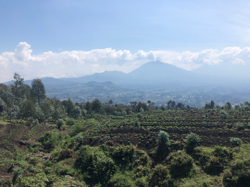
Three hours later we approached Volcano national park and enjoyed views of the volcanos, surrounded by densely populated subsistence farm land seemingly cut into the sides of mountains. At the hotel, we also joined with our friends, the Wagener’s, who met us in Rwanda after spending time down in South Africa. Together, we enjoyed a steady dose of ginger (both tea and cocktails) to help stave off the effects of the altitude.

Tuesday, August 27th:

After an early start checking into the National Park headquarters we received the safety briefing (stay ~20 feet away from the gorillas – a rule that we soon learned was hardly enforced). We also were given an introduction to the gorilla group we were visiting. The Igisha group has 34 members (massive for a gorilla family) including 6 silverback males. Unlike chimps, there is a clear hierarchy in a gorilla family, with the eldest silverback male being the leader. Underneath him, he may have a number of children that have grown to be silverbacks as well, but he remains in charge. A very antiquated society, the females of the group all belong to the dominant silverback and he mostly prevents them from mating with anyone but him. Female (and some male) children leave the group when they grow up to start there own families and to avoid potential incest. Switching groups can be accomplished by joining an existing family, being “stolen” from your family by a more intimidating male, or by starting a new family with a young male.

Give the nature of the gorilla family unit, 34 gorillas in a family is massive and we bragged about the relative size of the family we were assigned (vs. the Wagener’s 18 member family) before we went our separate ways to begin hiking. We would soon find out that size wasn’t everything with Gorilla families, as evidenced by our much calmer, more photogenic group of 12 on our second day.

After an ~hour drive, we began to hike up into the jungle, the gorilla’s high-altitude habitat. Aiding us were porters, often former poachers who have been attracted away from harmful poaching activities with the growth of gorilla tourism.

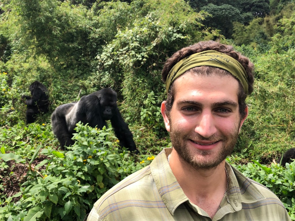
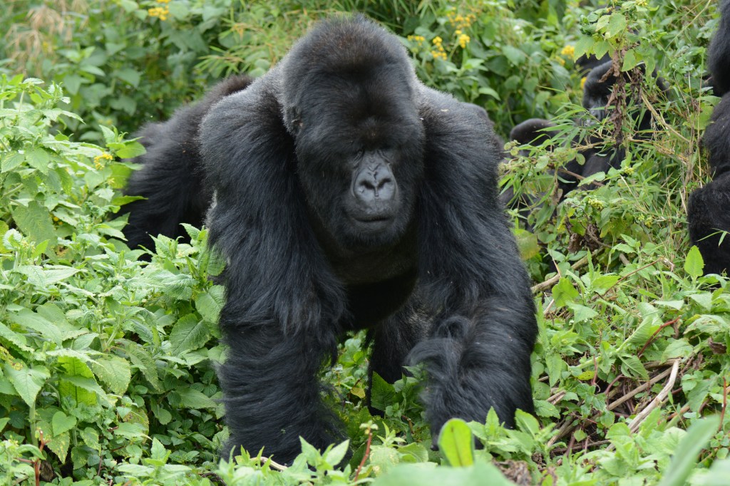
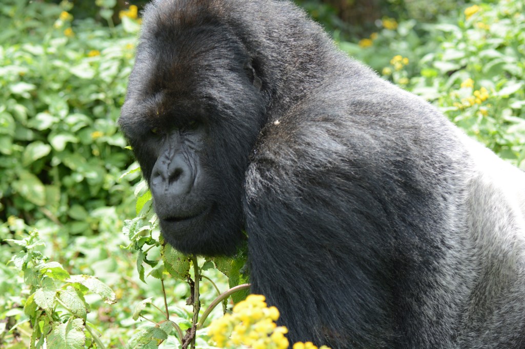
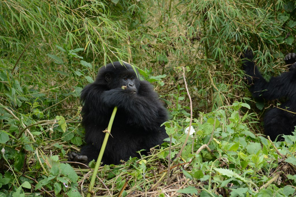
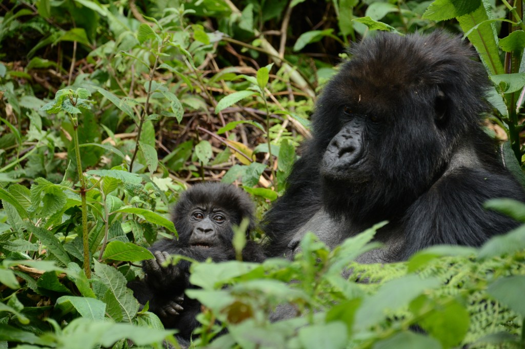
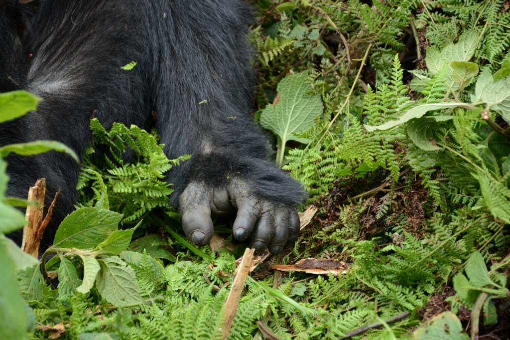
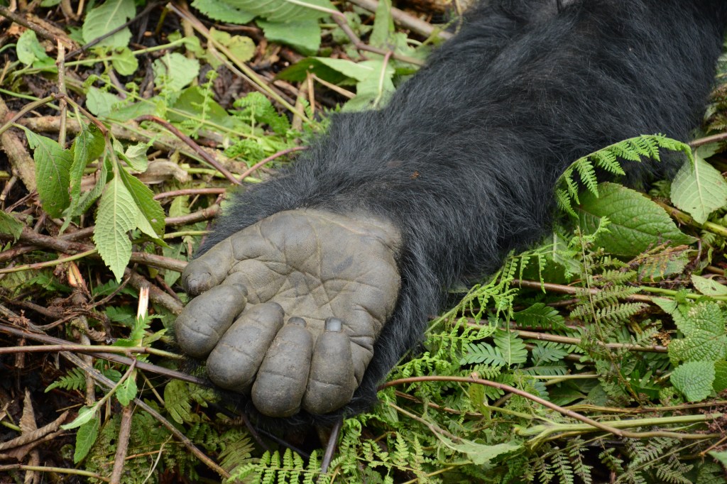
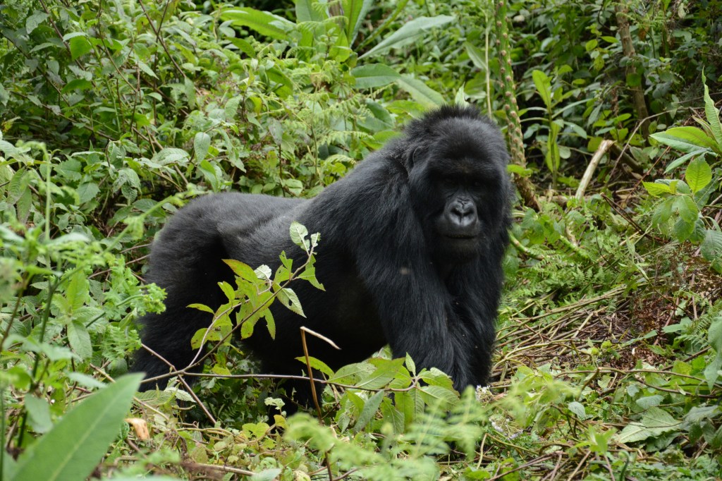
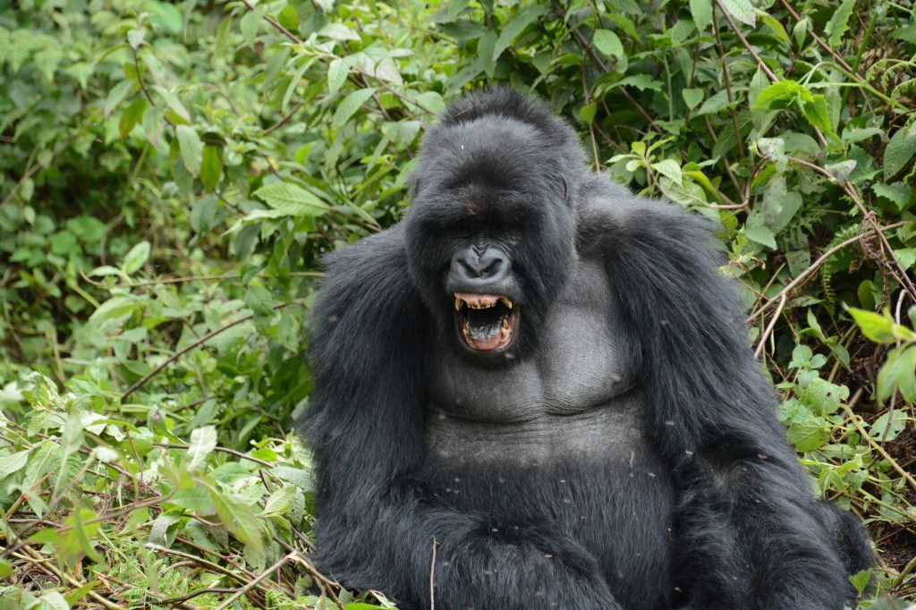
About an hour into our hike, the trackers found the gorilla family and we were suddenly thrust into the action as a large male “black back”, a teenager who has not grown his silver hair, emerged from the foliage. Quickly, others followed and we were surrounded by at least 20 gorillas. While most seemed to mind there own business, the dominant silverback was interested by us and quickly “broke” the 20 foot barrier, walking closer and closer. At over 500 pounds, a silverback is massive and I slowly backed away as our guide made non-threatening gorilla calls to calm down the silverback. 

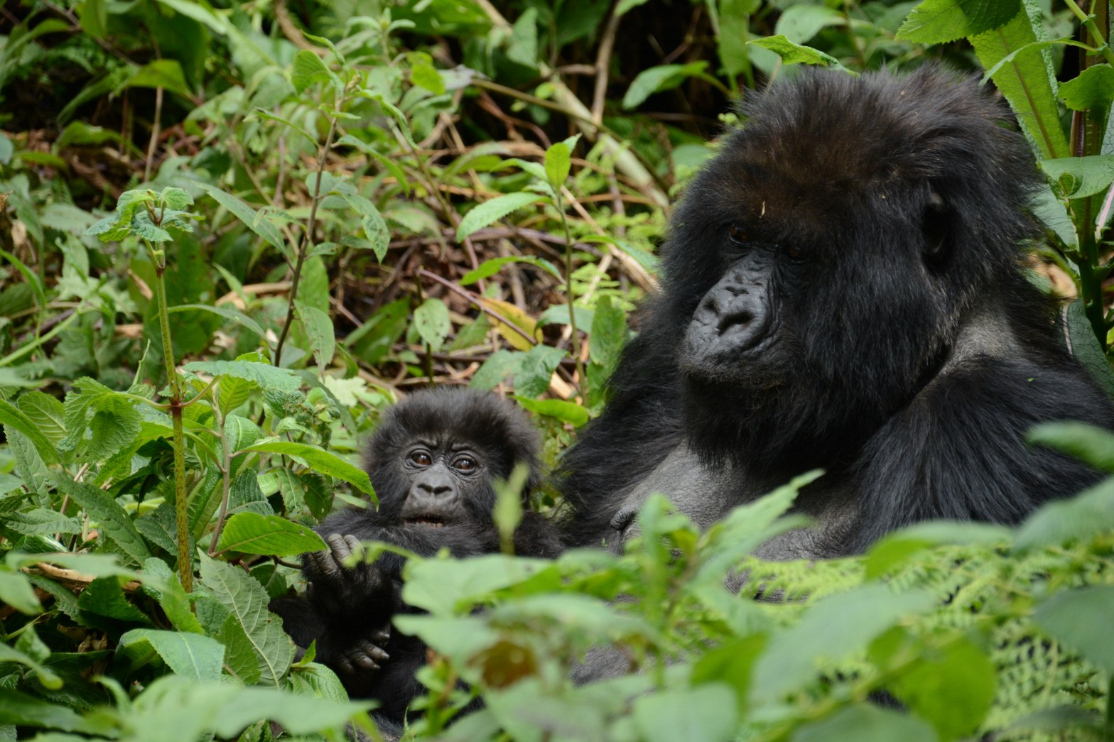
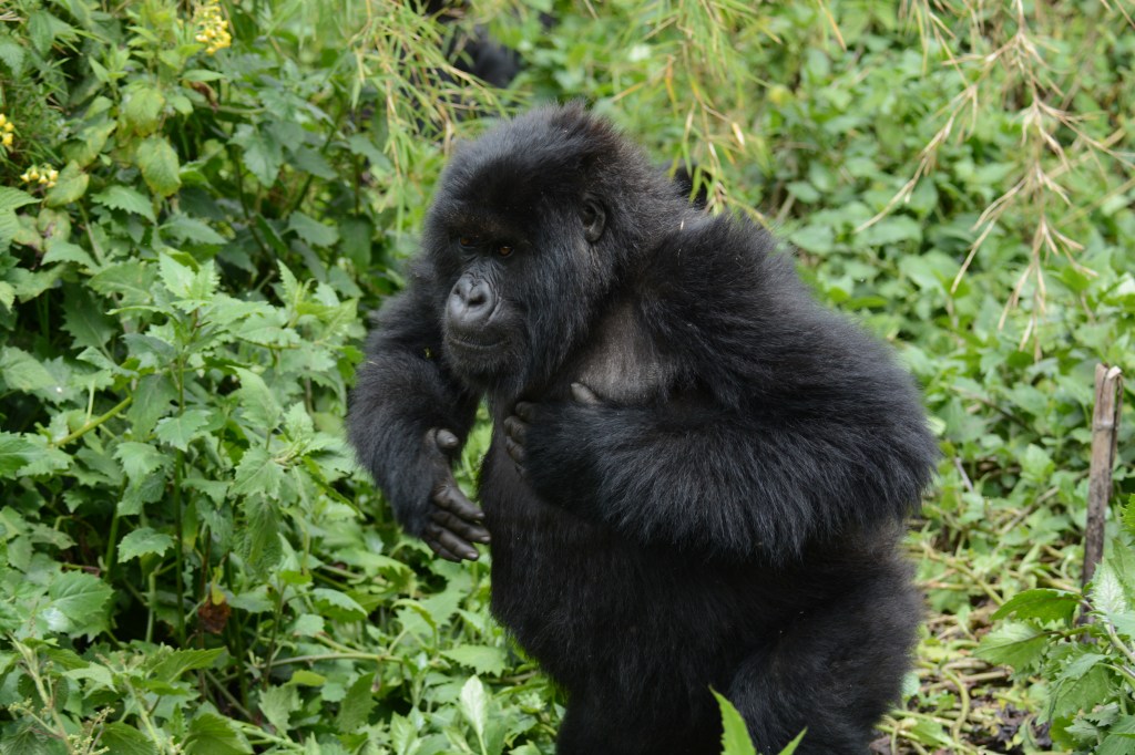
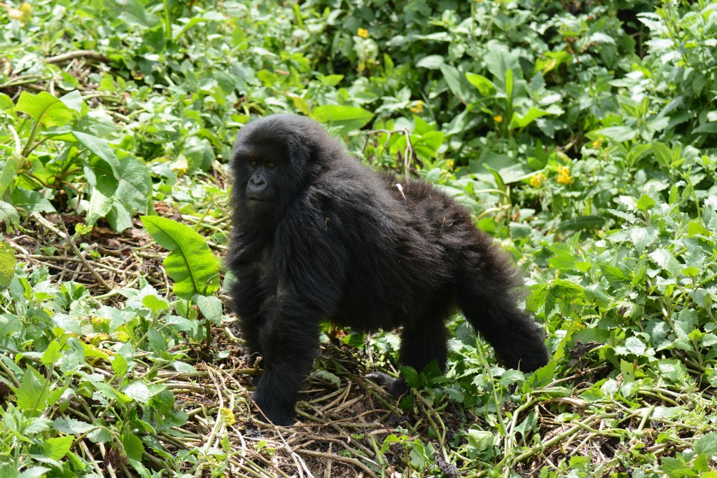
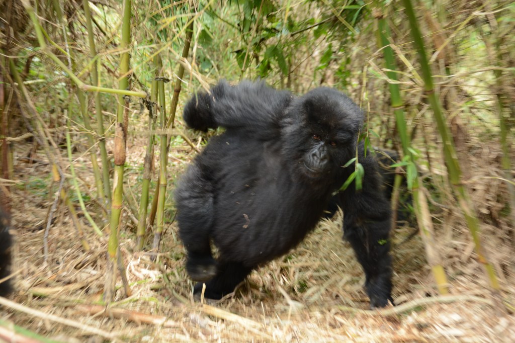
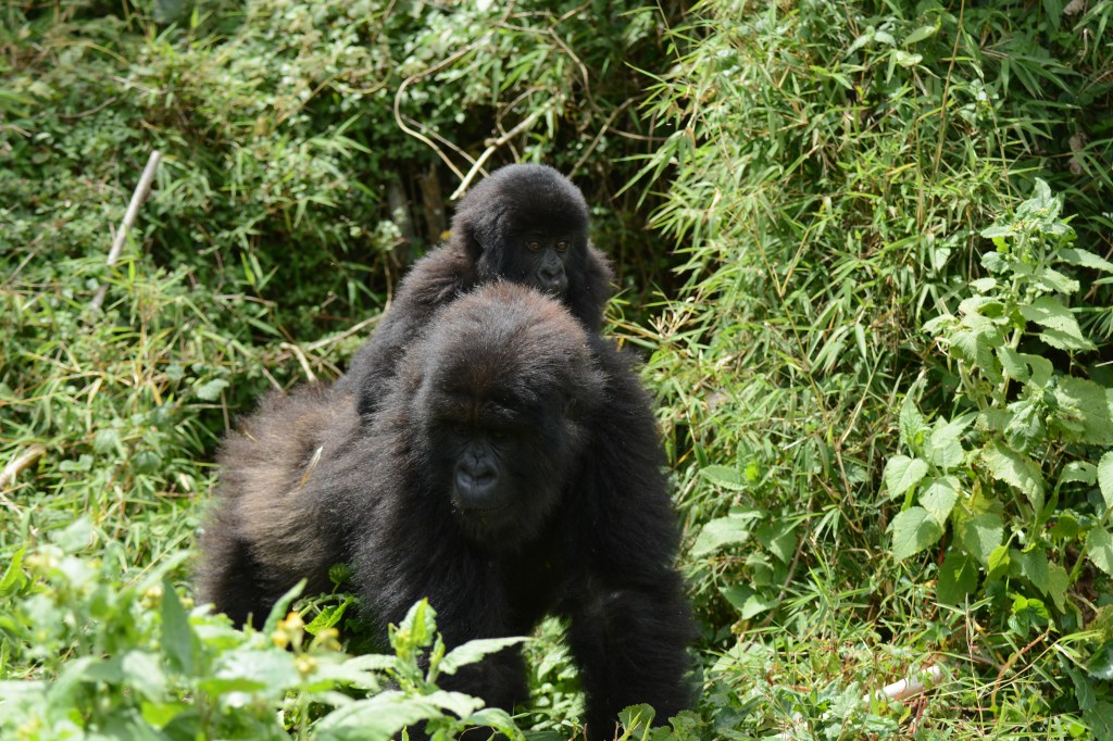
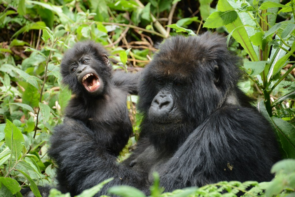
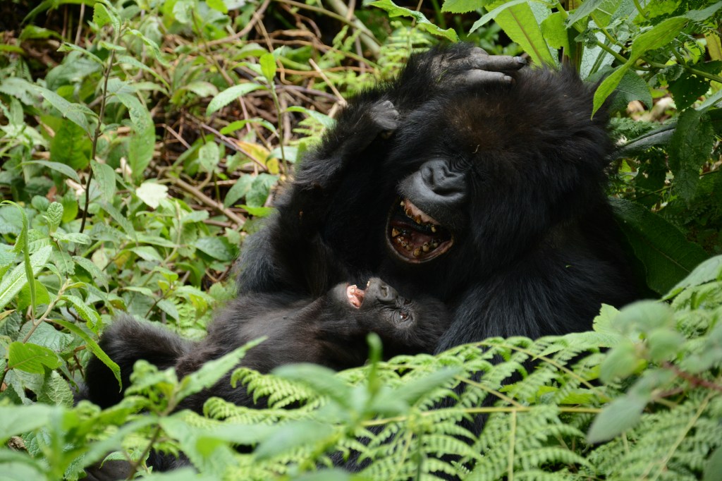
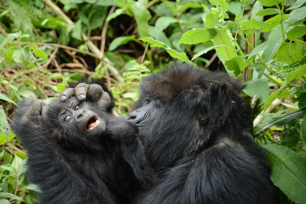
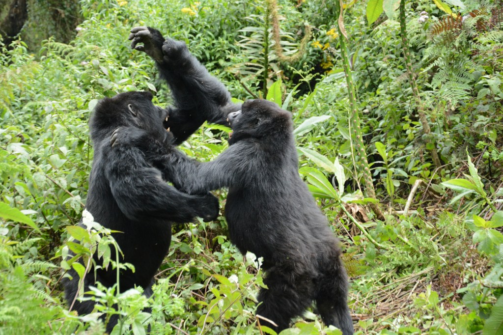
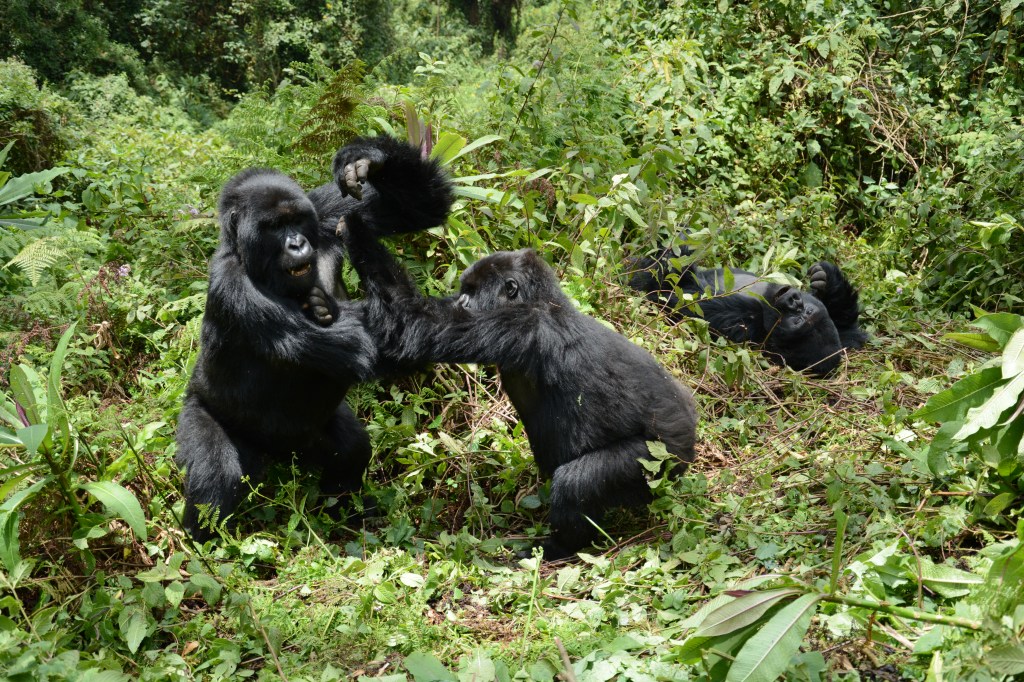
After the initial close encounter, we enjoyed a wonderful, whirlwind hour watching gorillas do everything from eating (a lot), to play fighting/wrestling, grooming and of course napping. It is hard to truly describe how similar they seem to us humans, so I will let my pictures serve as a guide

Later in the evening, I went for a run on the rough dirt roads of the village, attracting calls from children on every farm I passed. Fighting the altitude (8500 feet) and the hills, I managed to say hello to everyone and was relieved to return back to the hotel to rest.

Wednesday, August 28th:

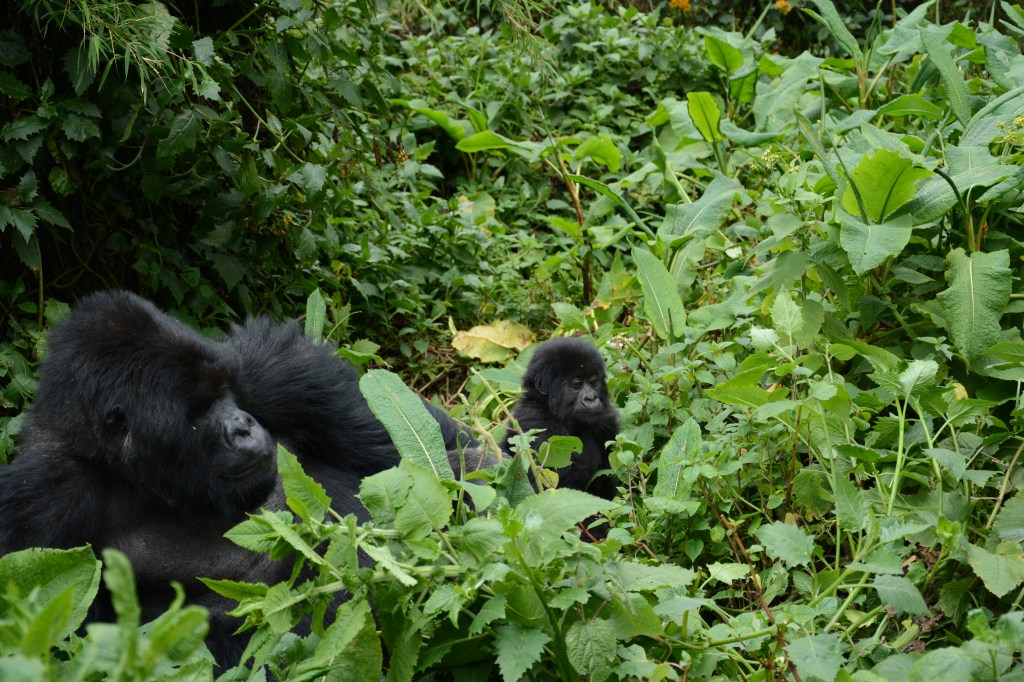
We were assigned a smaller gorilla group for our second day of trekking, but the Umubano group was much more photogenic. After a similar morning routine, we came upon the group resting in a clearing and I was transfixed by a very patient mother attempting to groom her 5 month old mischievous baby. Nearby, two teenagers wrestled around and we did our best to stay out of their way, a difficult task among the summersaulting bodies. Finally, the silverback had had enough and emerged from his slumber, immediately shutting down playtime.

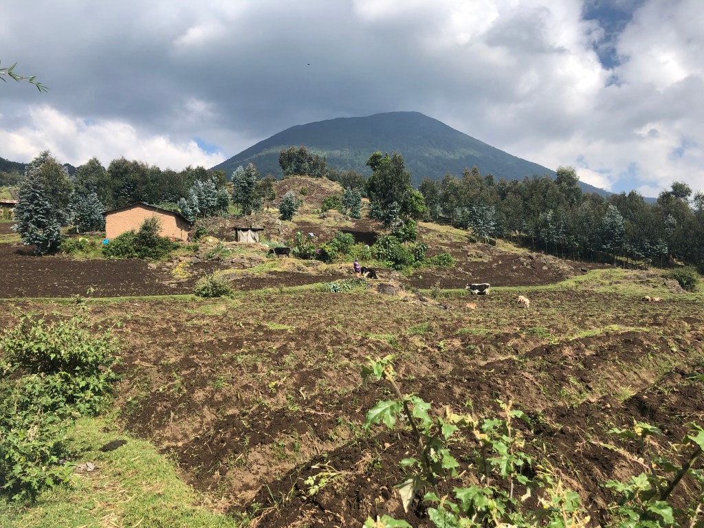
Hiking down through the village after our gorilla sighting, we were again struck by the  resourcefulness of Rwandan subsistence farmers, who used every single square foot of land in the hilly, volcanic rock strewn landscape.

Later in the evening, we enjoyed a big bonfire and our final dinner together before we all went our separate ways: Ben and Jenna to Israel, Mom and Dad back to the US and the Wagener’s to Zambia. 

Thursday, August 29th:

Driving back to Kigali, we stopped at a hectic outdoor market with the largest variety of avocados I have ever (still kicking myself for not taking a picture). After lunch where we said goodbye to our guides Nic & Jana as well as the Wagener’s and my parents, we (Ben, Jenna and myself) left for the airport. After randomly striking up a conversation with a couple that turned out to be the former US secretary of energy (a noble laureate physicist) and his wife, the former Stanford admissions dean, we took off for Adis Ababa. In Adis, I parted ways with Ben and Jenna and embarked on the beginning of my solo travels with a quick stop in Singapore.

Friday, August 30th:

With the 6 hour time change (and a 10 hour flight from Adis), I didn’t arrive in Singapore until 3pm on Friday. I was greeted with an unwelcome sight, waiting for 30+ minutes in the immigration line – unheard of in Singapore’s ultra clean and efficient Changi Airport. 

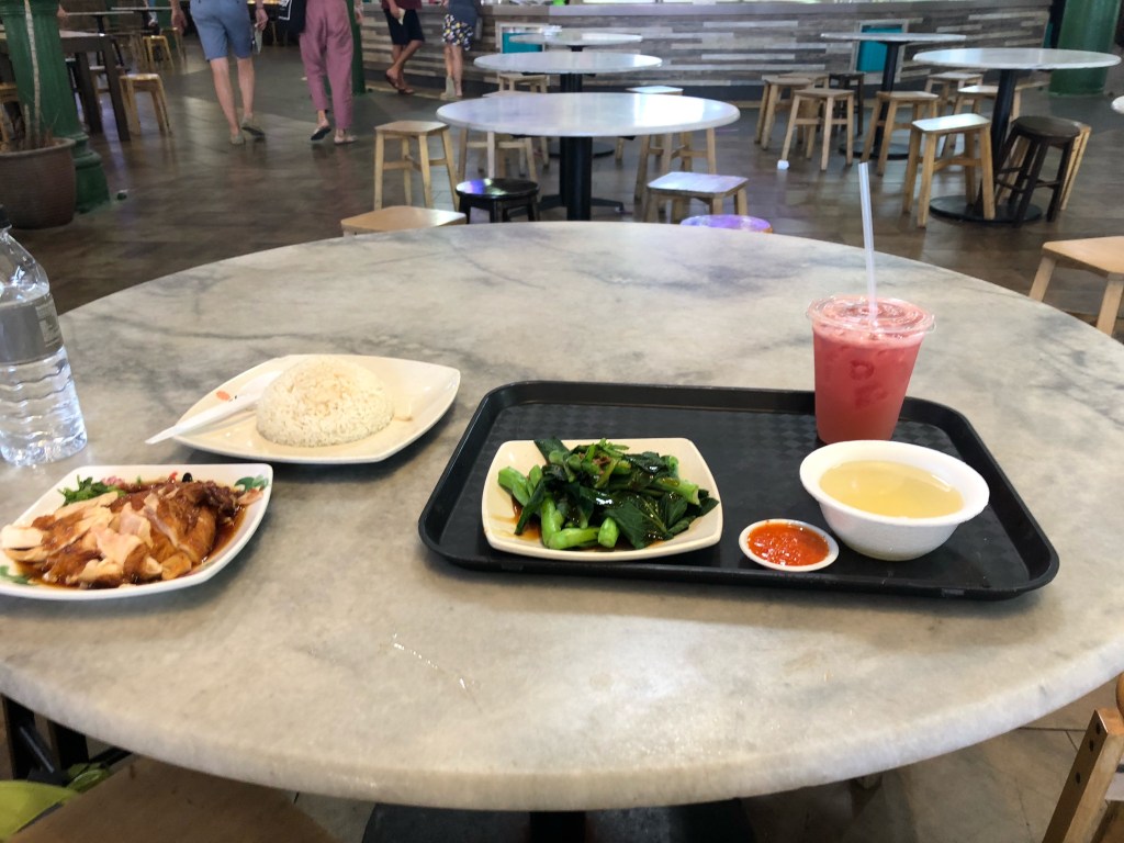
Taking in the familiar sights from my four-month stint in Singapore last summer/fall, I went to an “old” favorite: Lau Pa Sat hawker center to satisfy my chicken rice craving with Katie, a coworker who happened to be in Singapore for a week for her project.

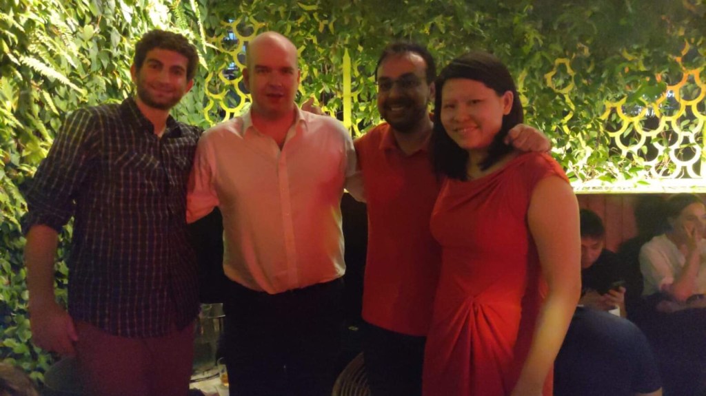
Next, it was off to meet up with my colleagues from last year’s project at a rooftop bar, where we spent the next 9 hours catching up over whiskey… 

Saturday, August 31st:

Arriving back at the hotel at 4am (although it was hard to tell with the time zone changes), I was (predictably) exhausted the next morning and feeling less than 100%. Fortunately, all I had to do was run some errands for trekking supplies and relax before an evening flight to Nepal. 

On the way back to the airport, I made an obligatory second stop at a hawker center, enjoying a last chicken rice meal before I begin my (mostly) vegetarian based Himalayan diet for the next four weeks. 

What’s next:

After spending tomorrow in Kathmandu to pick up maps, snacks and trekking supplies, I will be heading to the mountain town of Lukla (hopefully) on Monday morning, although flights tend to be canceled frequently so I may have an extra day in Kathmandu…Then, it will be about 2 weeks of trekking in the mountains (to and around the village of Gokyo) where I will likely have relatively limited connectivity, but will post updates when I can. Thanks for following along!
Featured

Serengeti Pt. 2

Tuesday, August 20th:

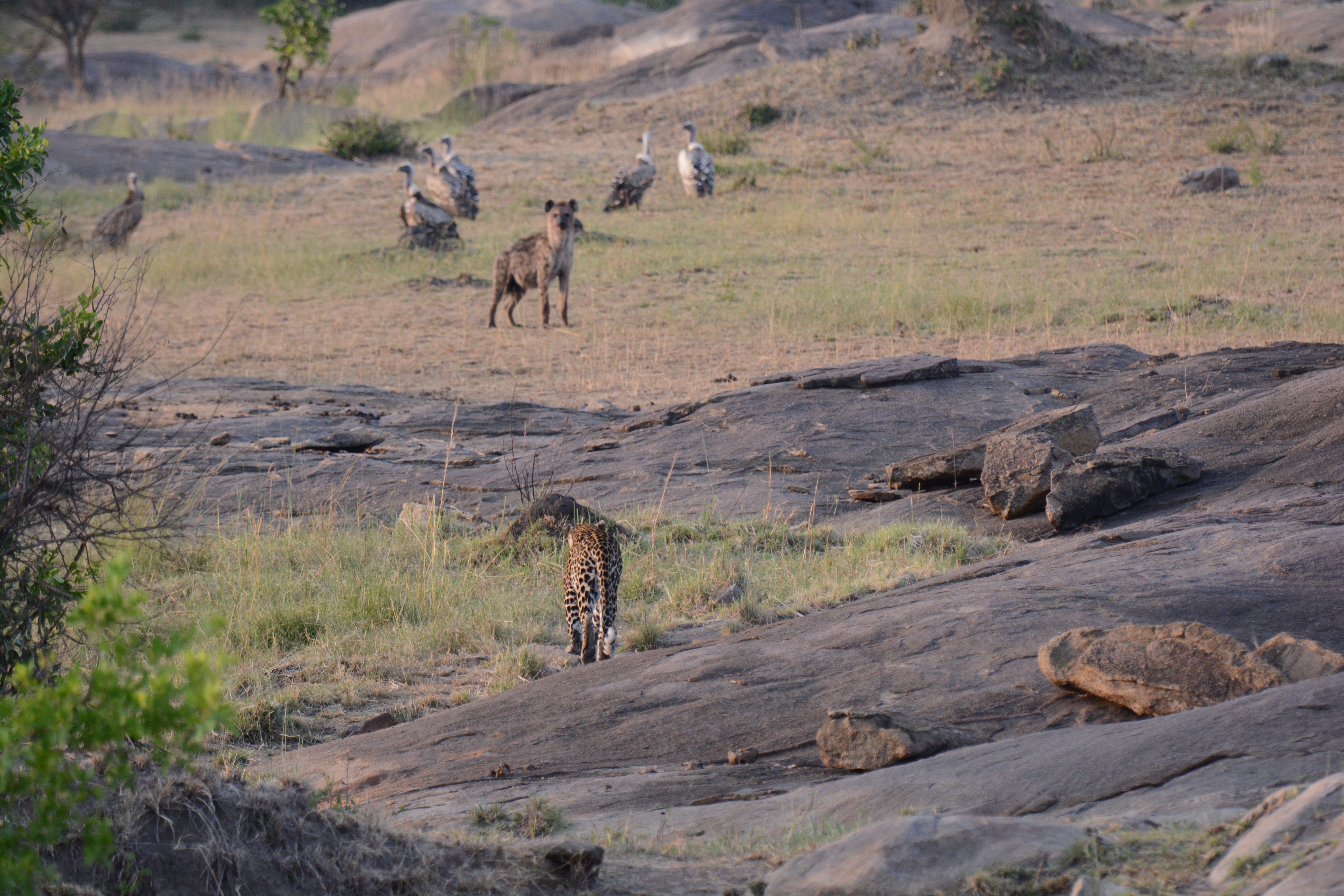
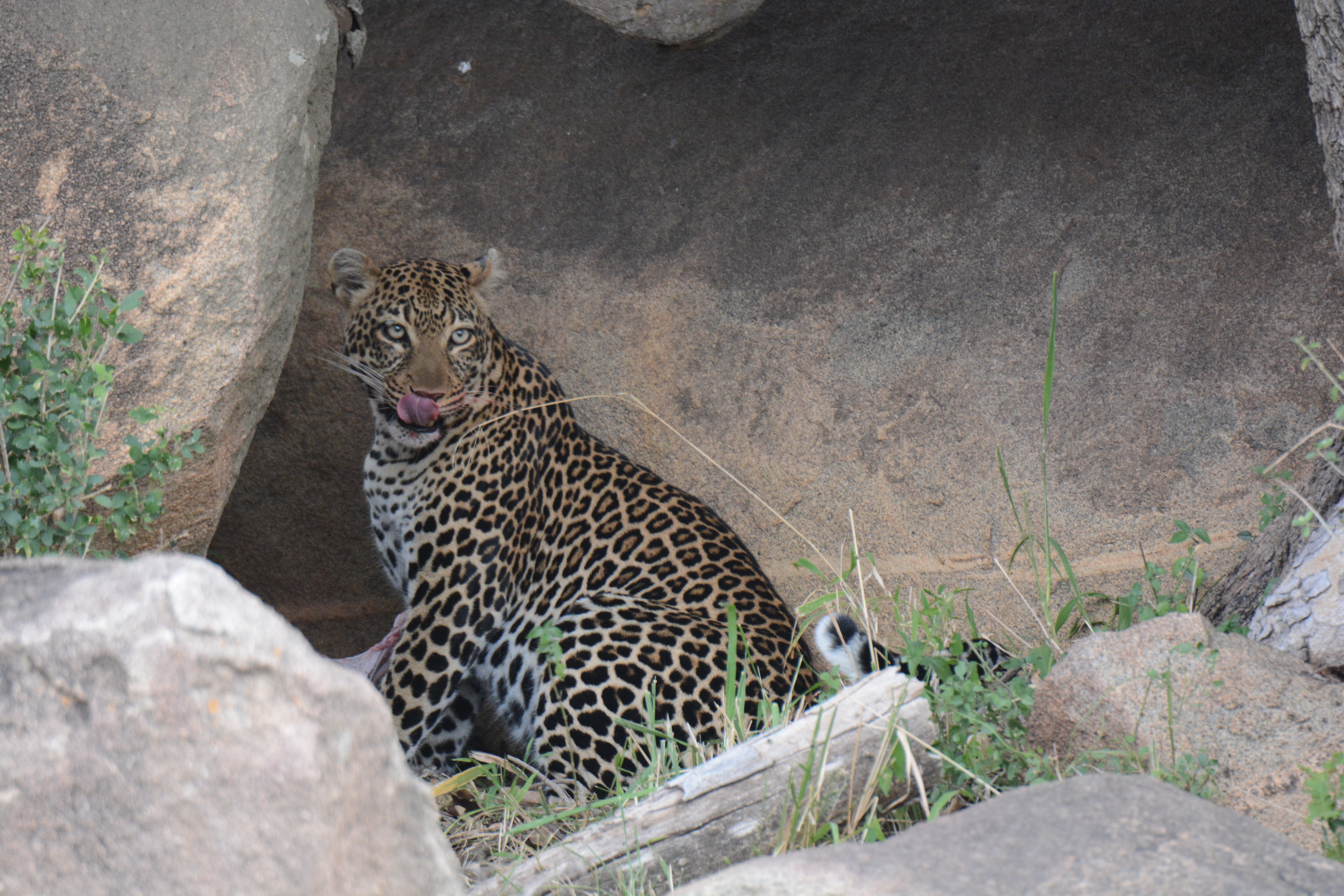
The morning began with another early start, as we left the lodge in search of the leopard we had seen the previous evening. We spotted it laying out in the open in a field, finishing part of its meal from yesterday as spotted hyenas lurked in the distance. After a few minutes of tranquility, the leopard got up and slinked towards the hyenas, leading to a fascinating stand-off before the hyenas ran off. 

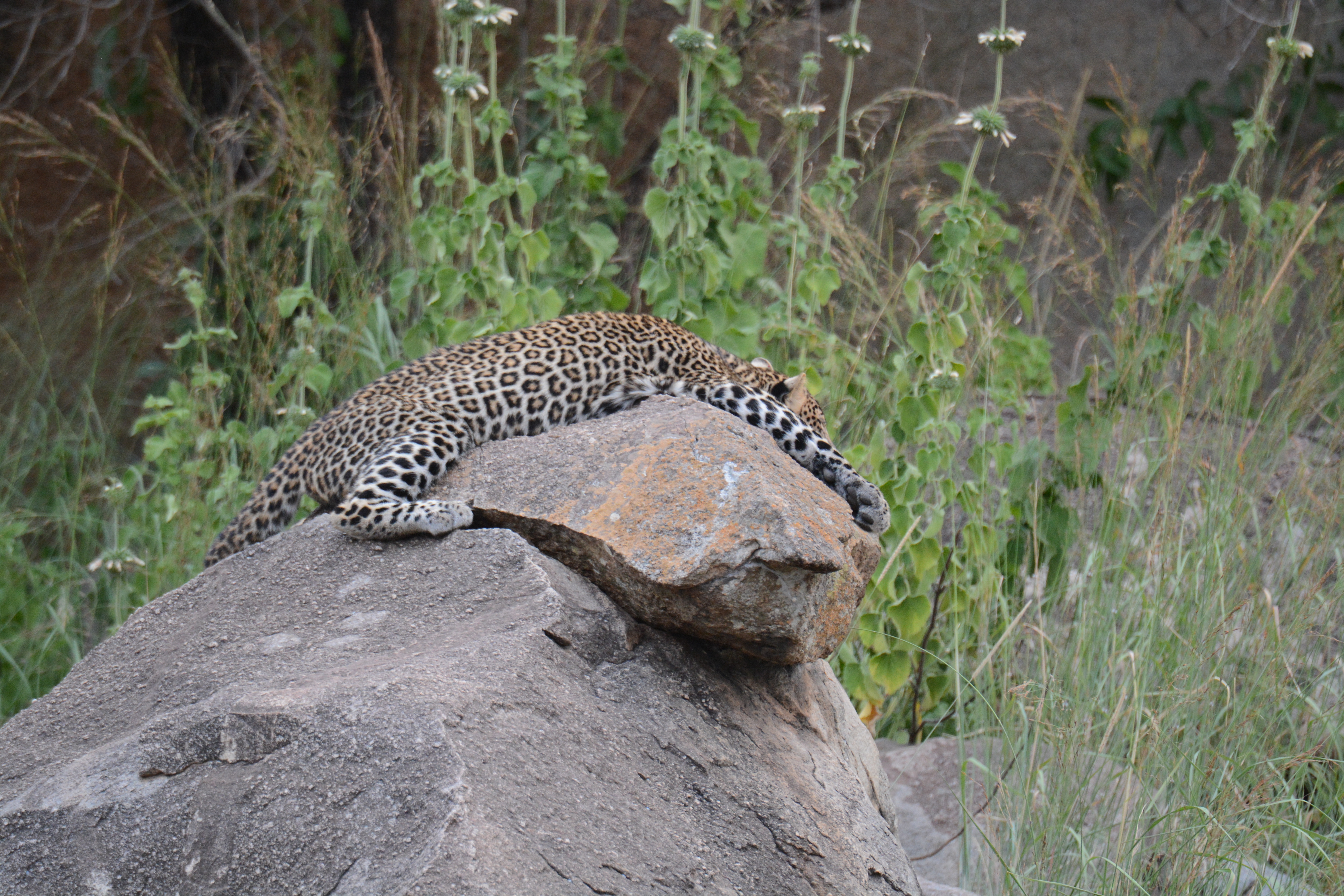
After searching out the leopard’s cubs and spotting one playing on the rocks, we headed towards a different part of the Serengeti, flatter plains known as the Lamai Wedge, where we enjoyed a picnic breakfast.

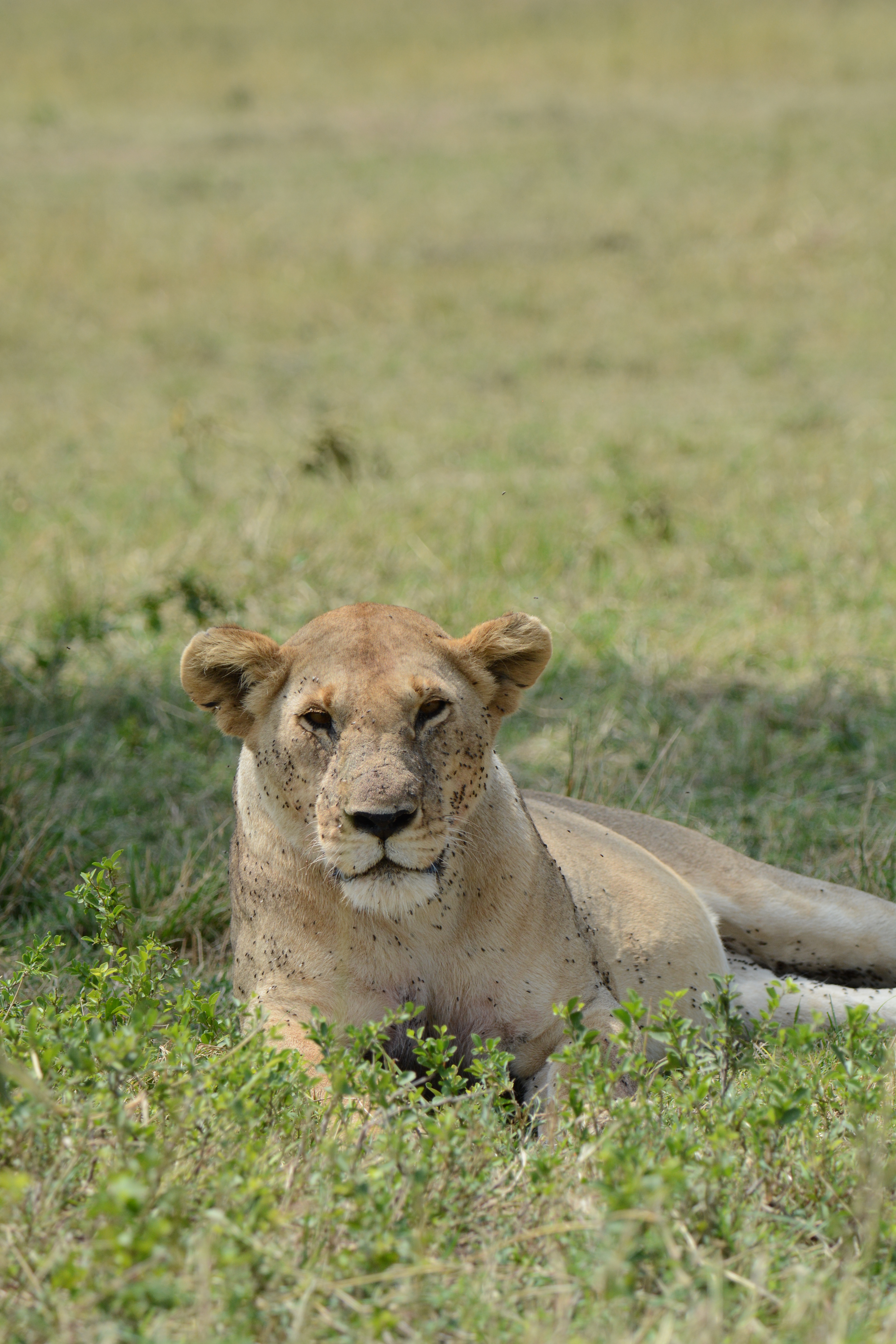
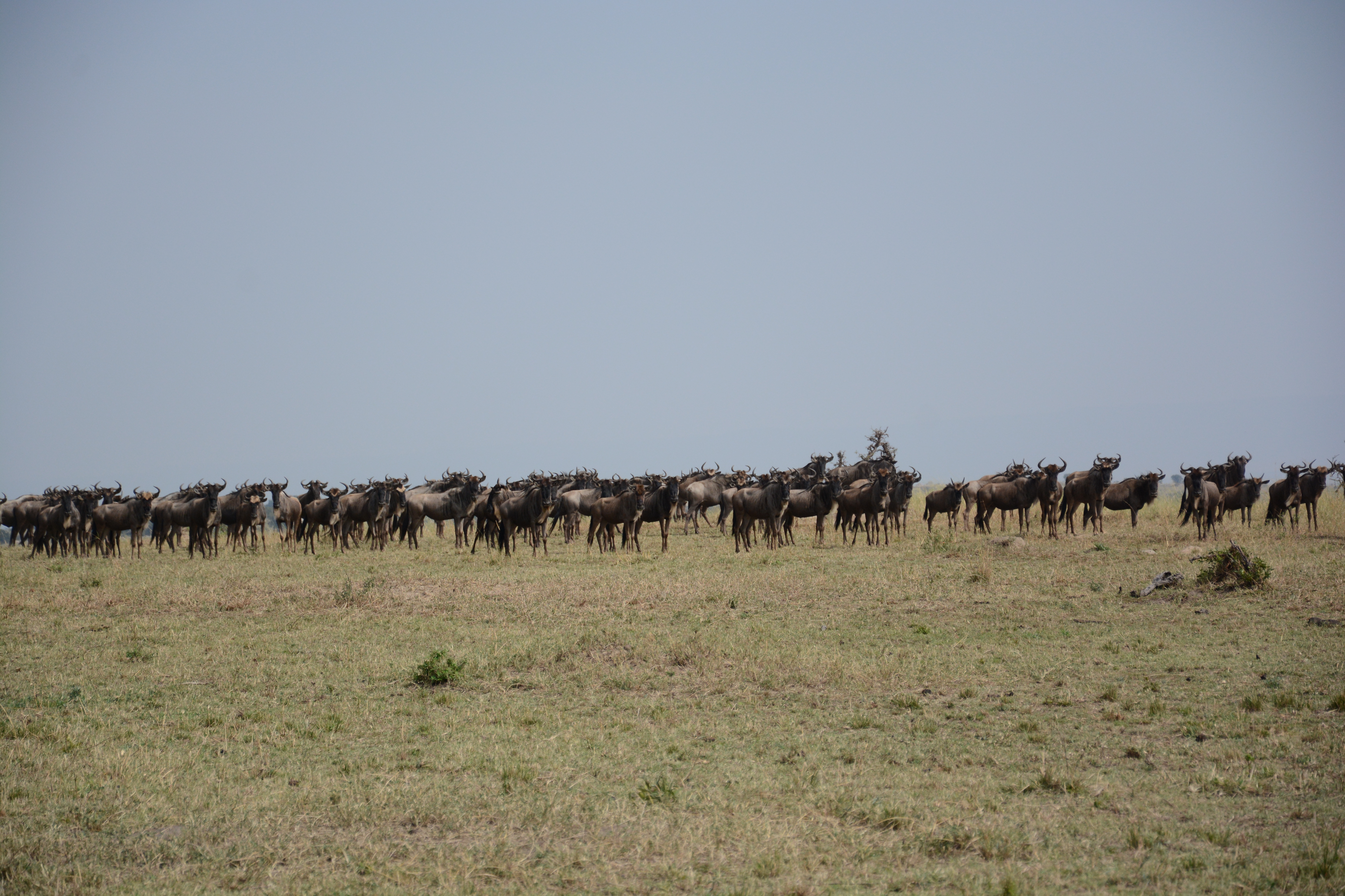
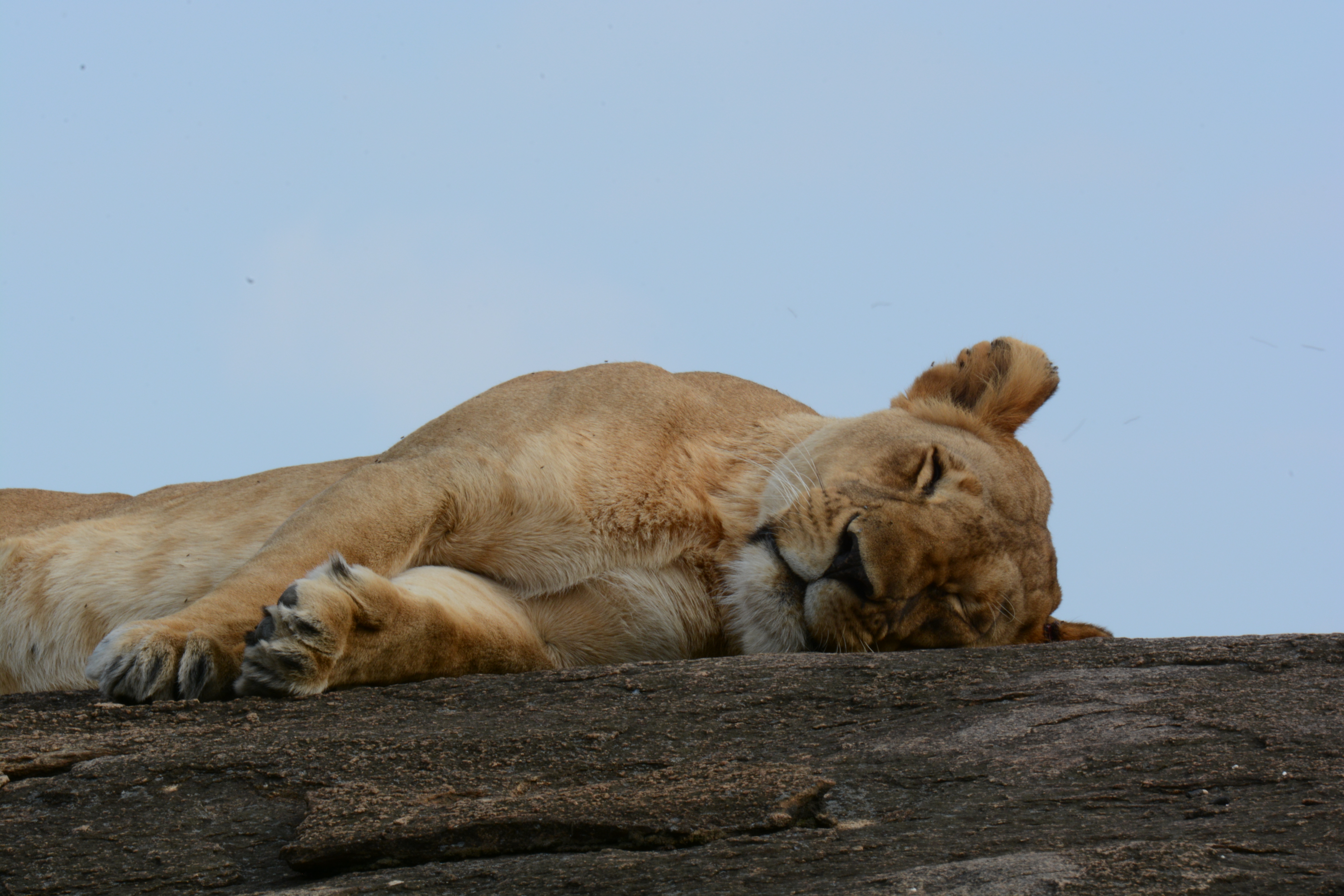
The plains were full of wildebeests, and we also spotted a lioness resting in the sun, allowing us to fully inspect the amazing quantity of flies that seem to permanently reside on lion’s faces.

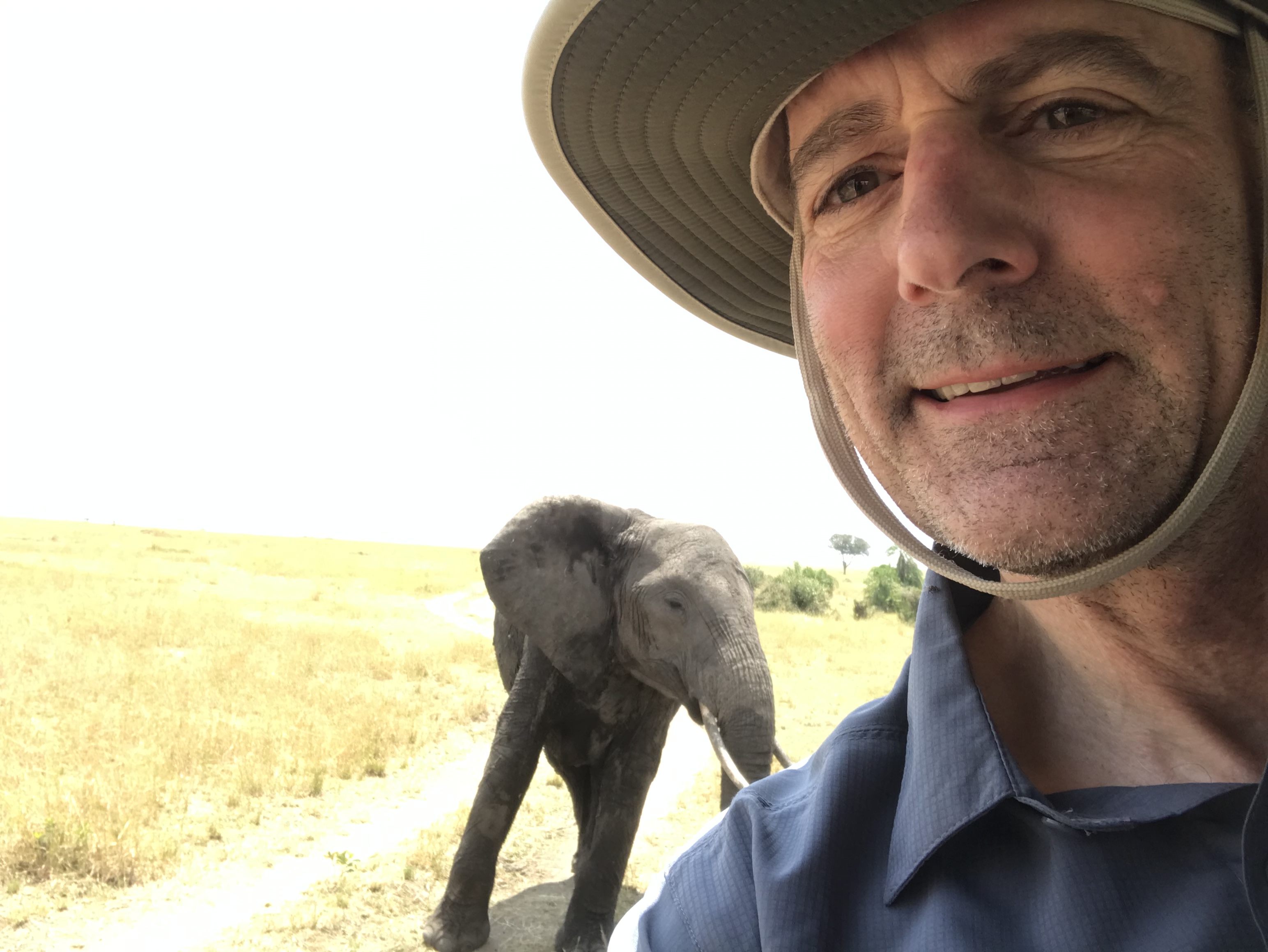
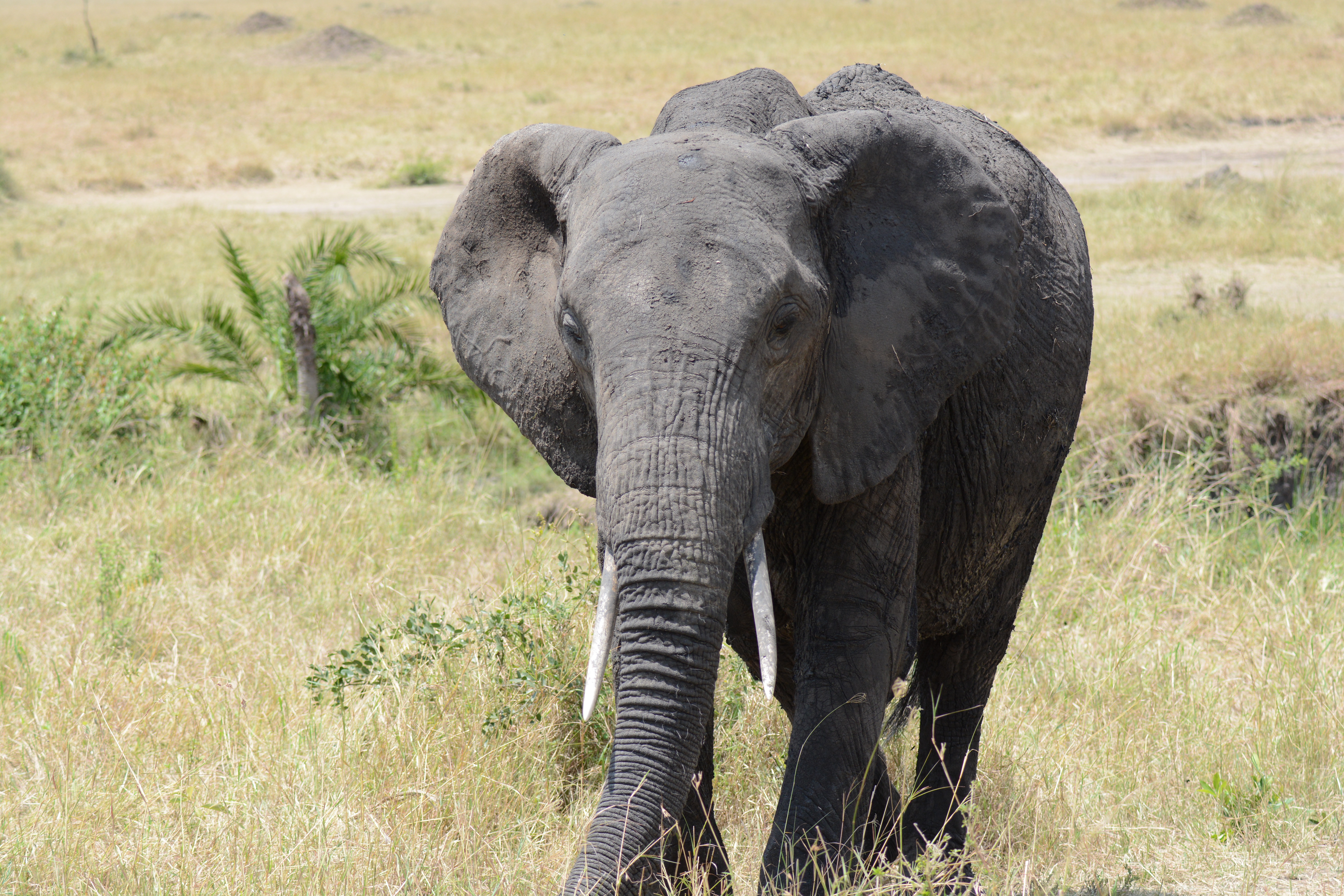
Along the way, we briefly crossed into Kenya, the border being a very loosely defined line on the road. Next, we encountered a breeding herd of 5 female elephants. The matriarch must have felt we had gotten too close and approached our vehicle, leading to an equally nerve-wracking and awe-inspiring moment as she postered at our vehicle and flapped her ears before retreating away. 

Elephant selfie

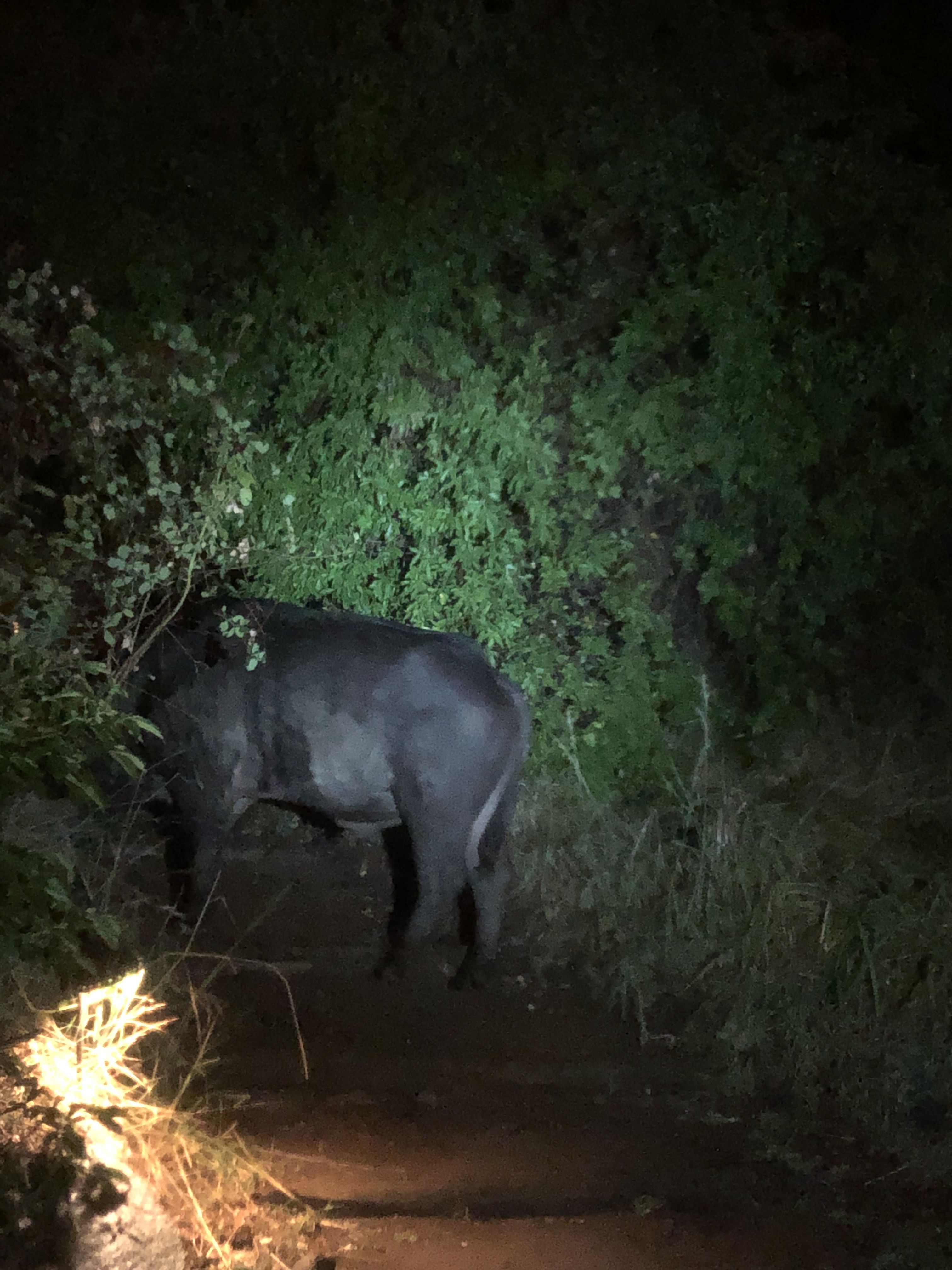
In the evening, we headed out briefly to see the sunset, but retreated back into camp after less than an hour as the rains began. The animals, clearly disturbed by the rain, ensured it was a very noisy evening and we could here the roars of lions and the “gnu” sounds of Wildebeests throughout the night, and Ben & Jenna even had a Buffalo visitor on their porch.

Evening buffalo visitor

Wednesday, August 21st:

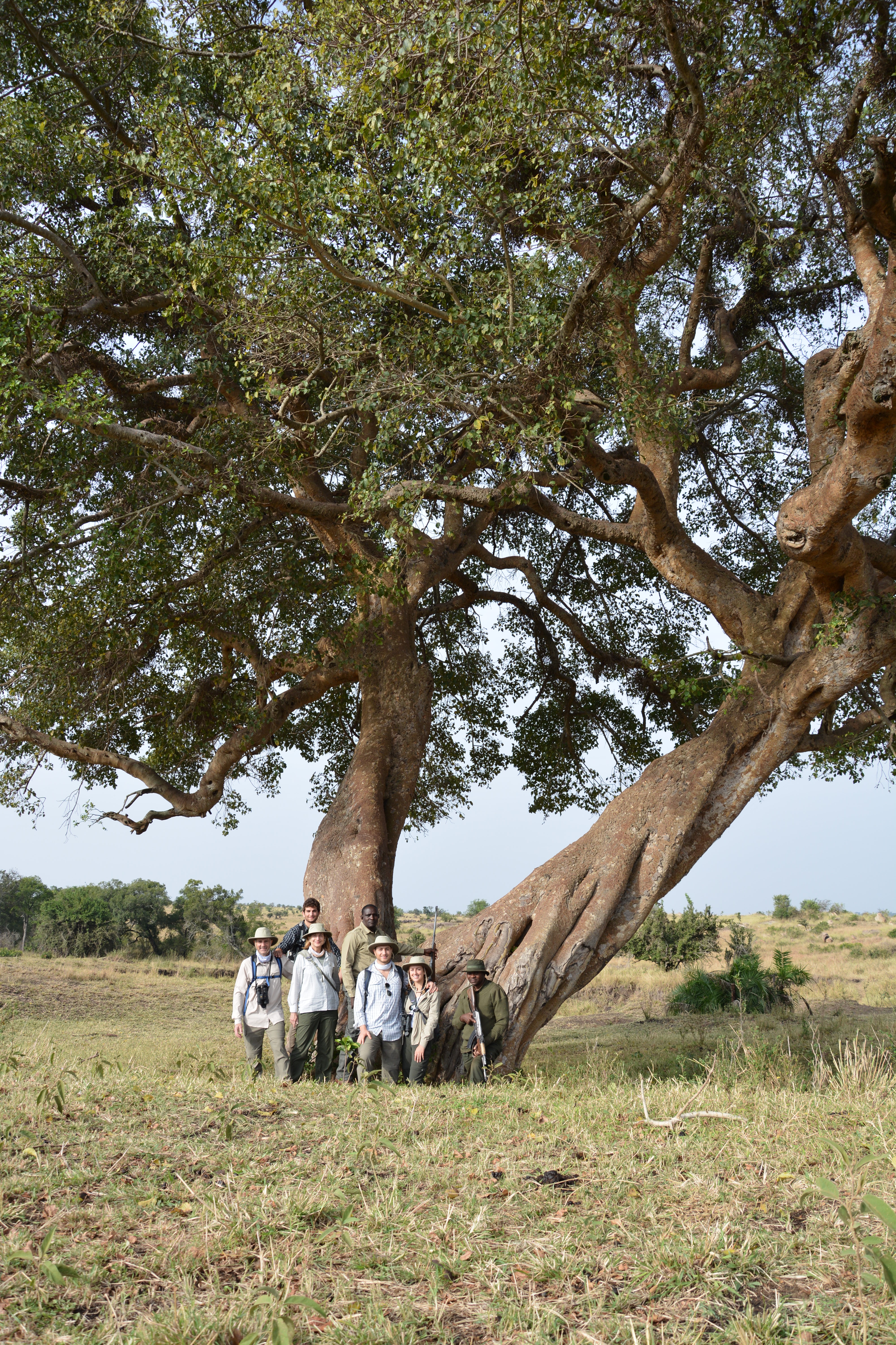
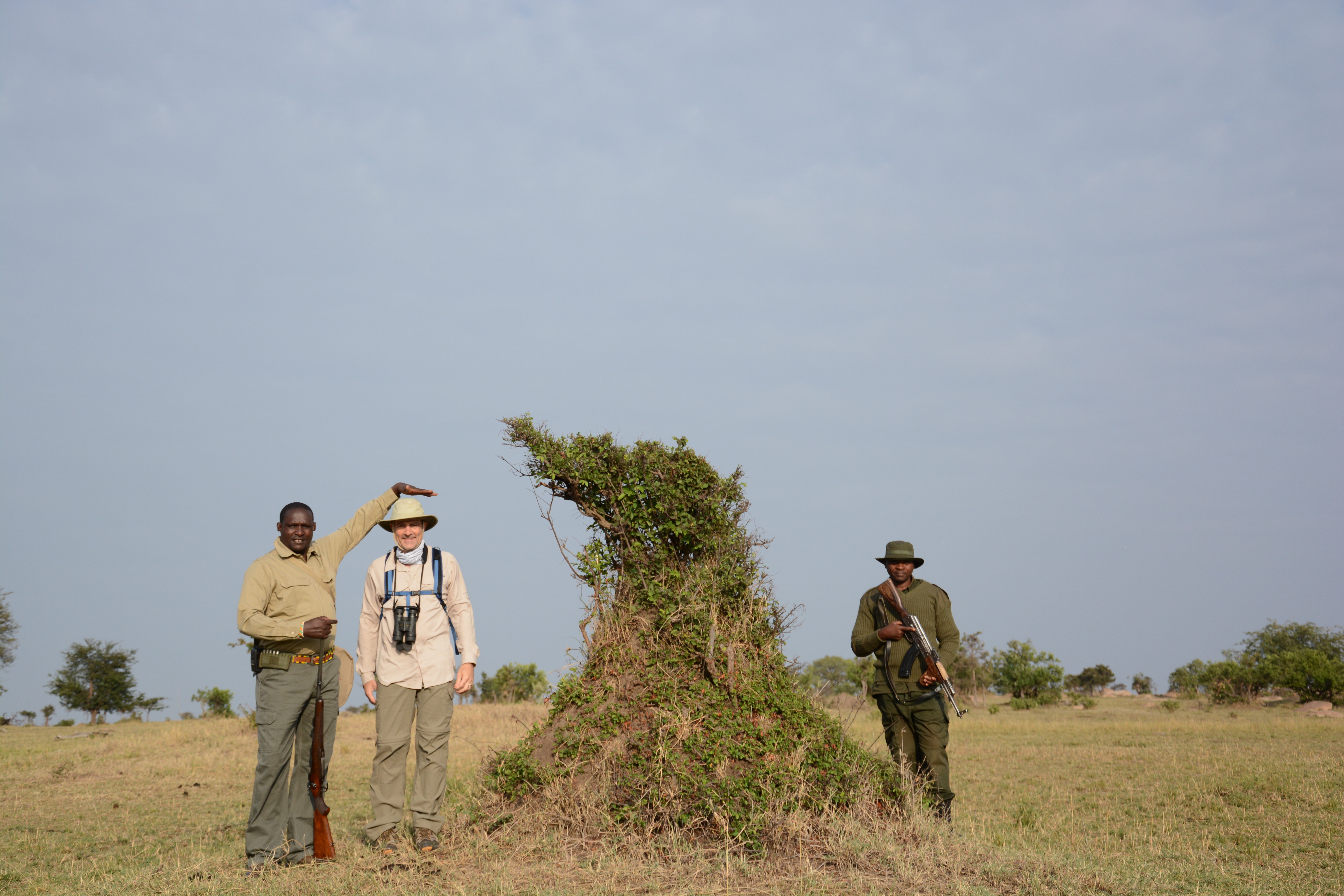
For our last full day in the Serengeti, we took off on a walk through a more remote part of the park. For protection (and by park regulation), we were accompanied by Sawli, a Masai scout armed with a hunting rifle, and Clemons, a national park ranger armed with an automatic rifle, as we trekked out into the bush. While the animals seem to have acclimated to vehicles, they seemed to be terrified of humans walking and ran away whenever we got within ~100 meters. Despite the lack of close-up animal sightings, it was a much more intimate experience to be truly alone in the savannah. Our walk featured some close-up inspections of my dad’s favorite termite mounds as well as a visceral examination of the “circle of life” of the animal kingdom. The ground was littered with animal dung and remains, exhibiting the true nature of life in the Serengeti, where virtually nothing makes it to old age before meeting its demise.

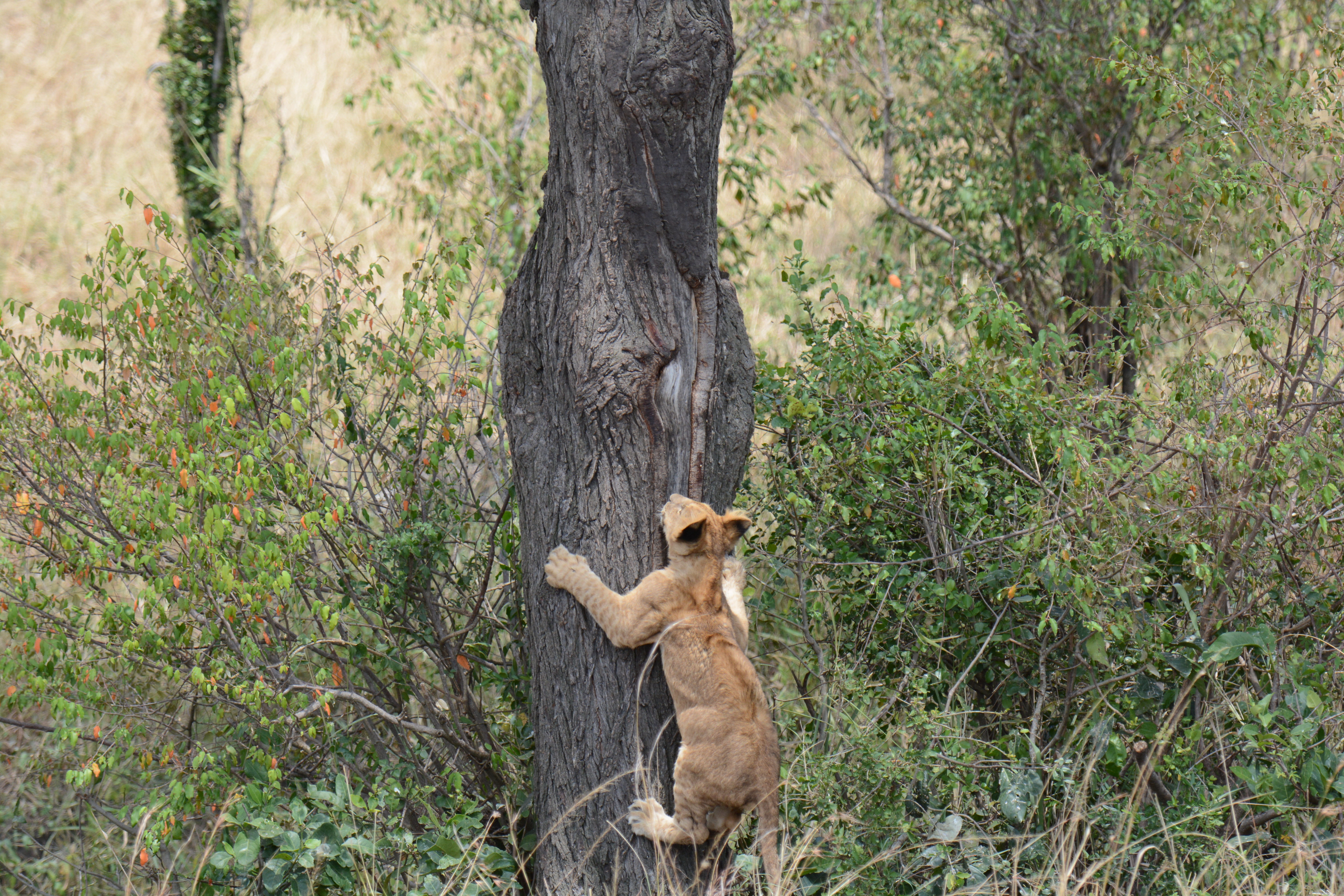
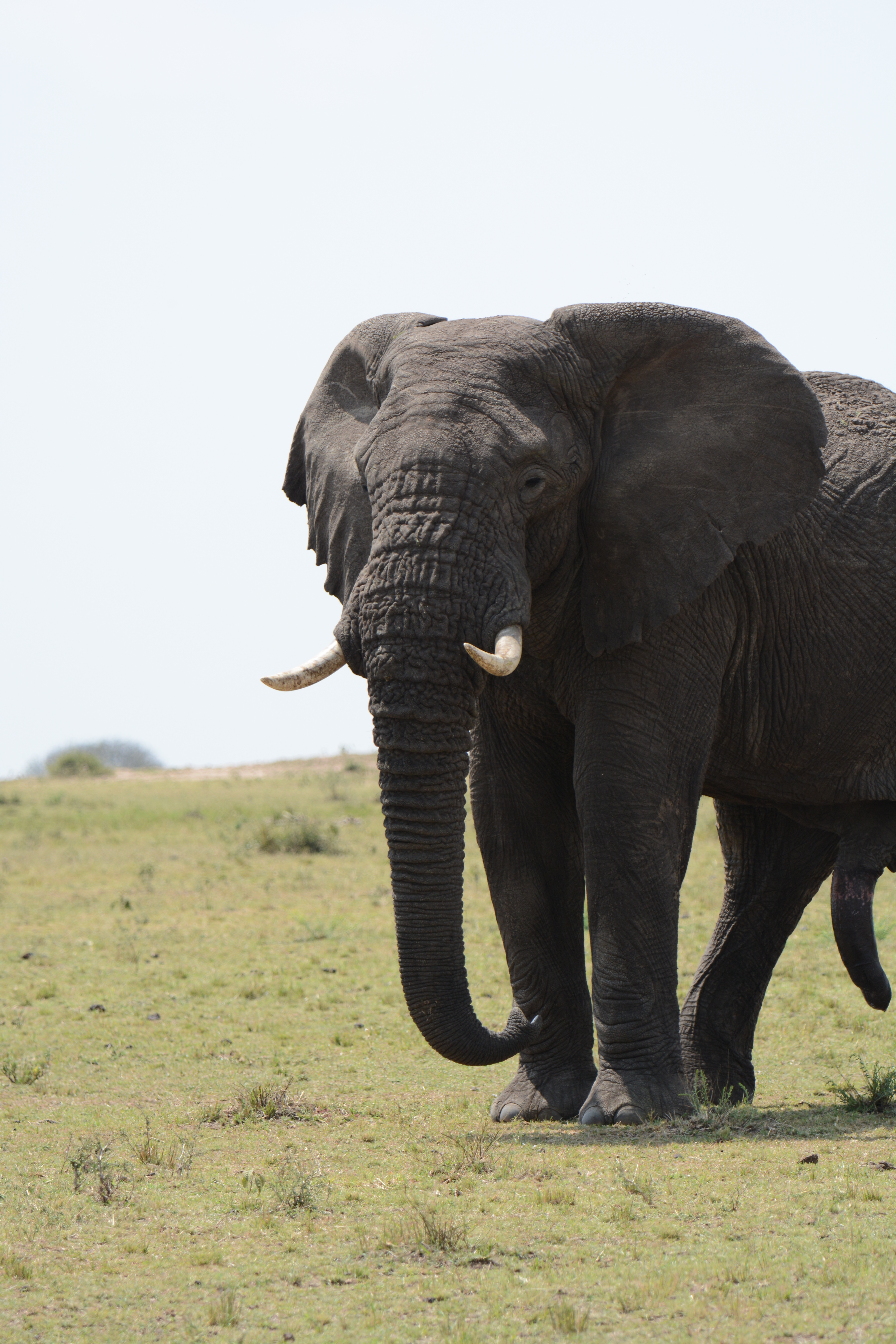
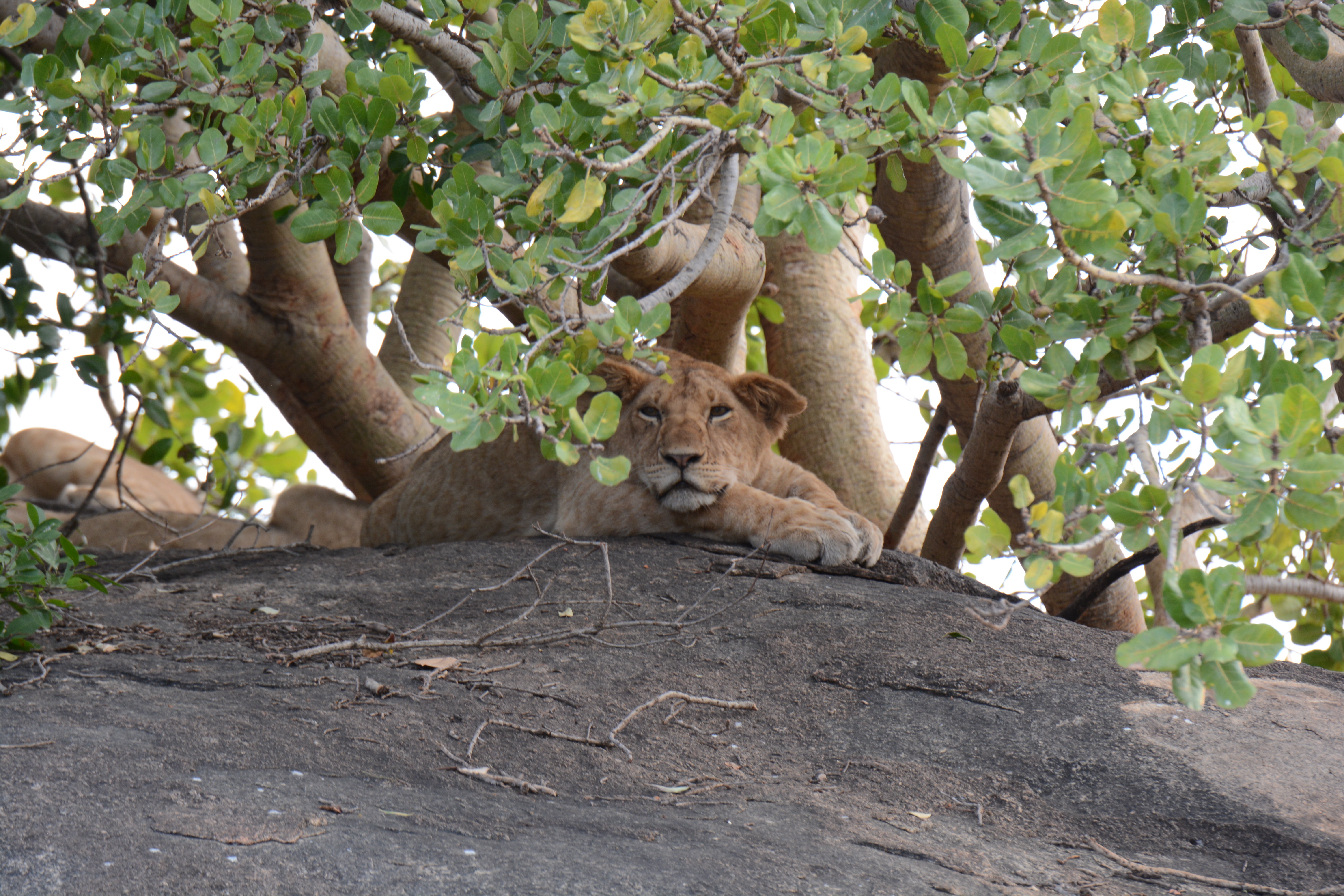
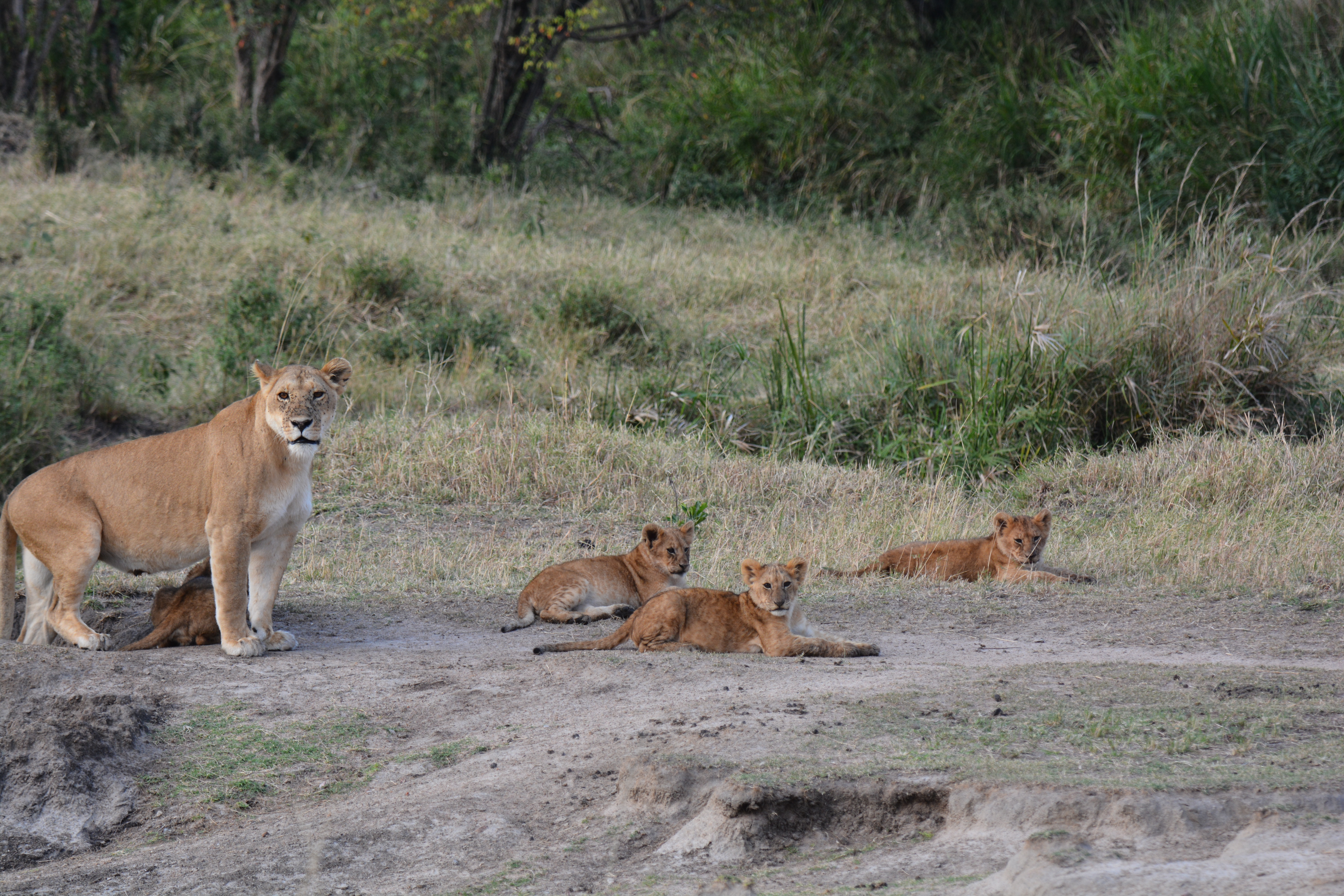
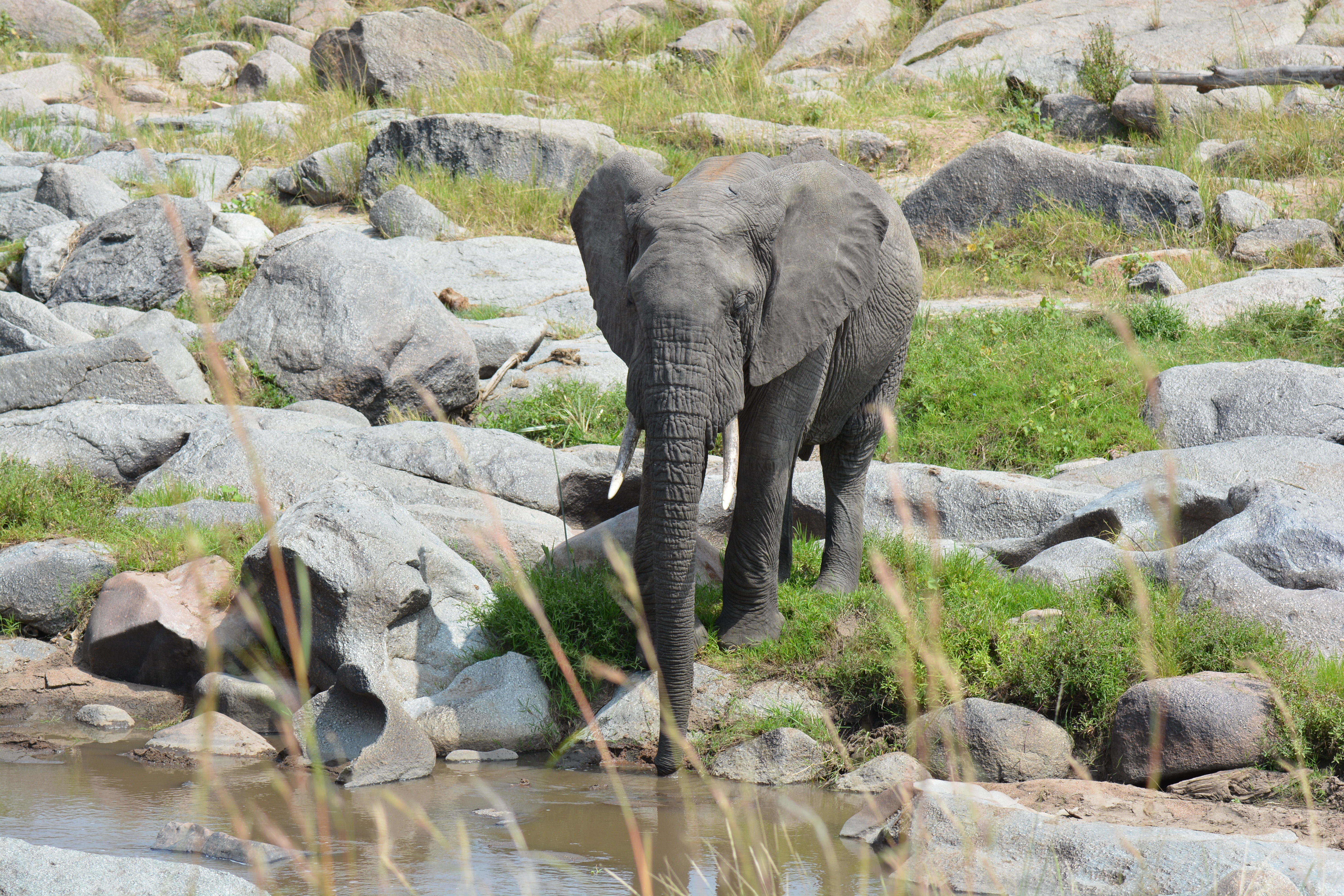
After our walk and picnic breakfast, we resumed our jeep exploration in search of Rhinos. While unsuccessful in our search, we did encounter a couple bull elephants (which made for fascinating pictures…) as well as a lion cub attempting to climb a tree.

Our drive also showcased how our animal-spotting skills still had a long way to go, evidenced by a misidentification of three zebras as elephants and numerous rocks mistaken for rhinos. Despite our misadventures, Nic and Emmanuel ensured we  remained on track, making for a successful final trip into the Savannah.

Next up:

After a more relaxed late-afternoon/evening, we are packing up to head to a remote island off of Lake Tanganyika to see the chimps. We will be out of connection for the next 5 days, and I will share an update when we return to civilization. Thanks for following along!
Featured

Serengeti Pt. 1

Saturday, August 17th:

Ben, Jenna and I arrived in Tanzania at Kilimanjaro airport in the mid afternoon on Saturday. After making it through immigration and customs without incident (a surprisingly expedient process), we met our guide Nic and headed to a small reserve on the outskirts of Arusha to spend the night. The beautiful guest house was located on a golf course, a completely out of place remnant of the colonial era that made for a surreal setting. I went for a run with Nic and spotted a few impala as well as the comically named “dick dick”, a small antelope-like creature, but avoided any larger/potentially dangerous predators. Later that evening, my parents arrived and we all headed to bed before the busy day to come.

Sunday, August 18th:

After a quick run around the golf course (the last time I will be able to run in at least a week as we enter an area with larger, free-roaming predators), we ate breakfast and headed to a small airstrip to fly into the Serengeti. The flight was a quick 45 minute hop that featured a beautiful view of Mt. Meru (although Mt. Kilimanjaro was masked by the clouds) and Elephants drinking in the Mara river as we landed in the Serengeti. We immediately headed off into “the bush” as our driver/guide Emmanuel instructed us to look for ALT – (Animal looking things). 

Wildebeest AKA “AFW”

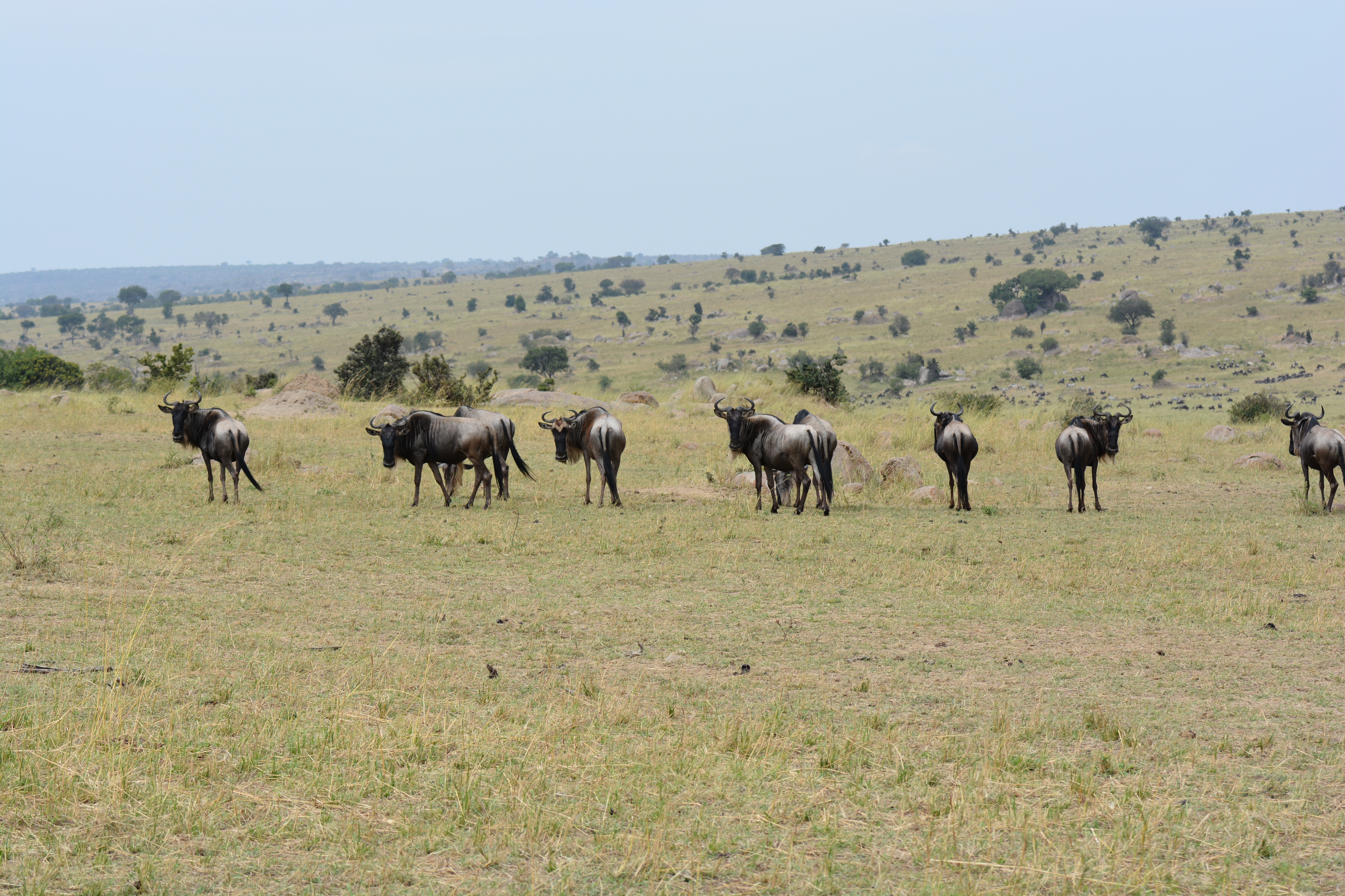
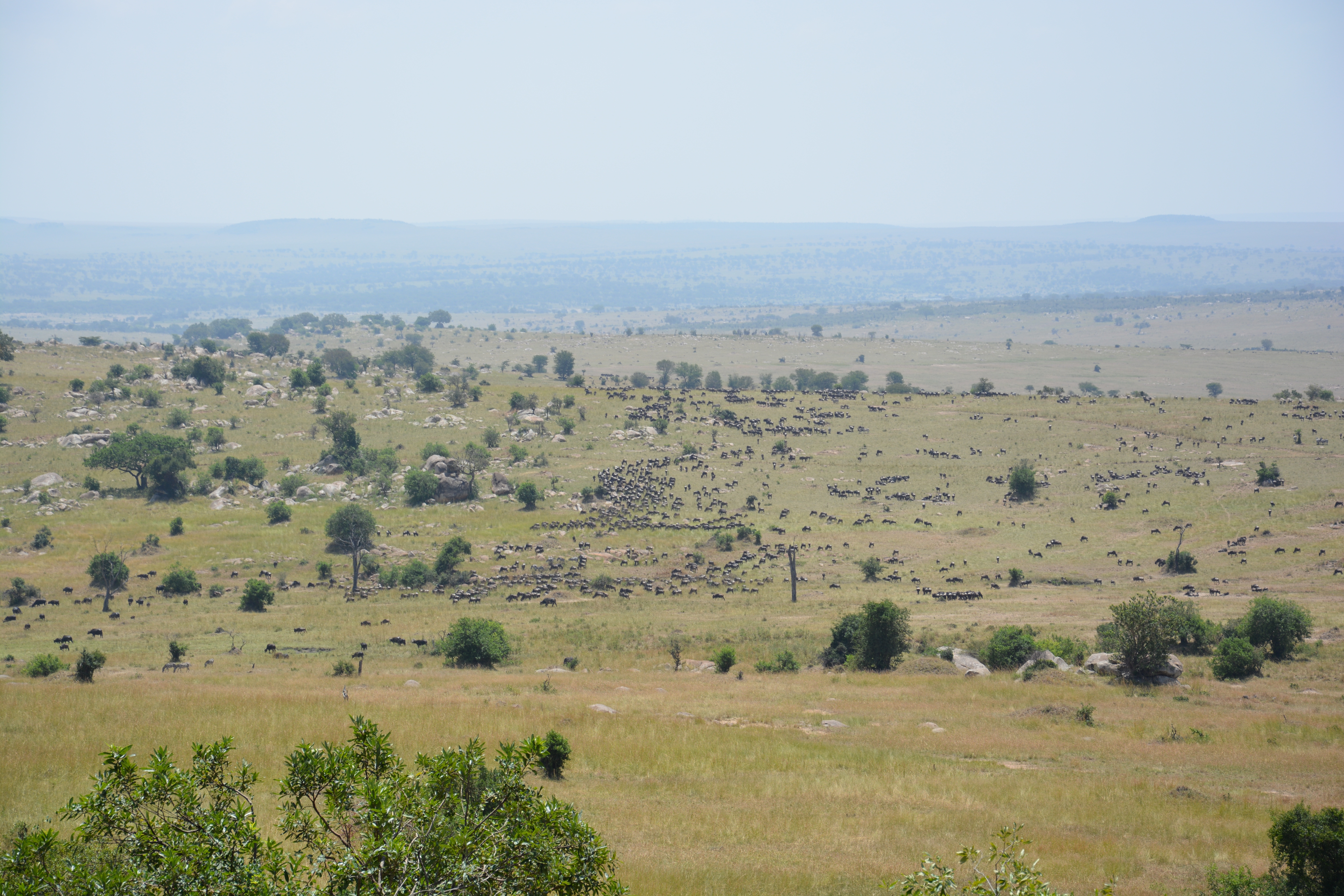
After our initial awe at seeing a few Wildebeest, an animal that could have only been designed by committee given its appearance, we quickly realized that they were not exactly a special occurrence and that there are ~1.5 million of them in the broader area. This led to a build on looking for ALT to avoiding calling out when we saw an AFW – (Another F***ing Wildebeest).

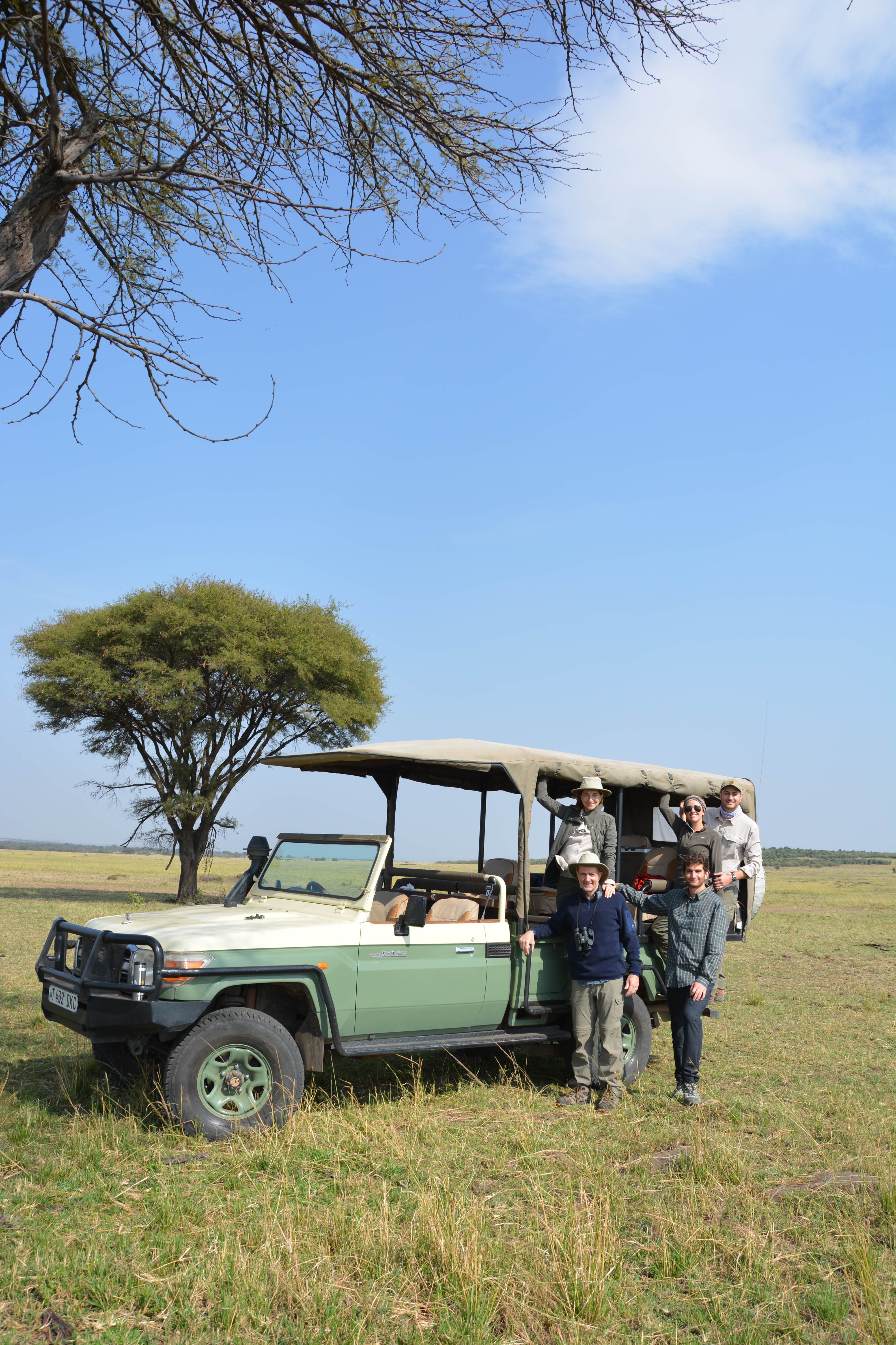
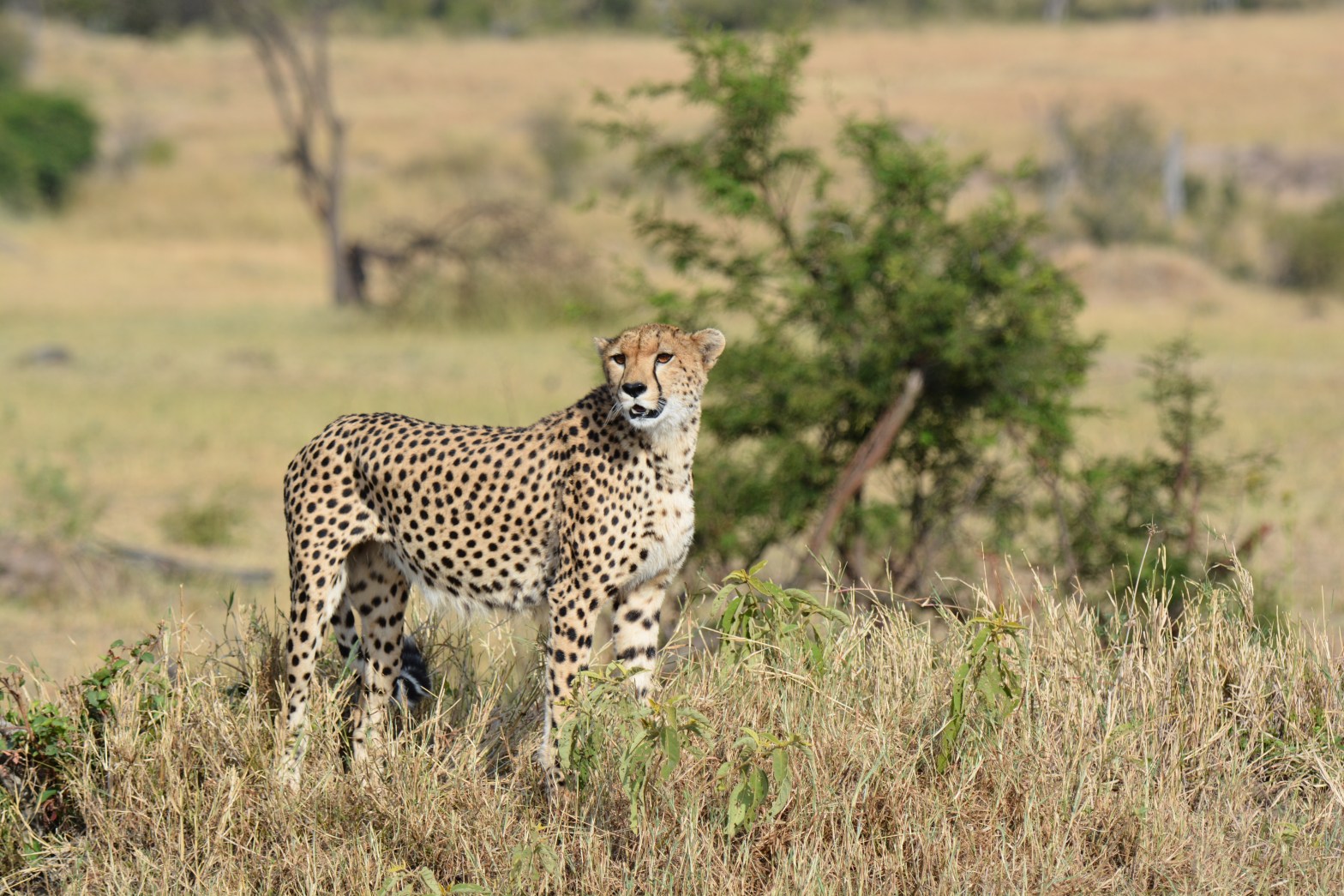
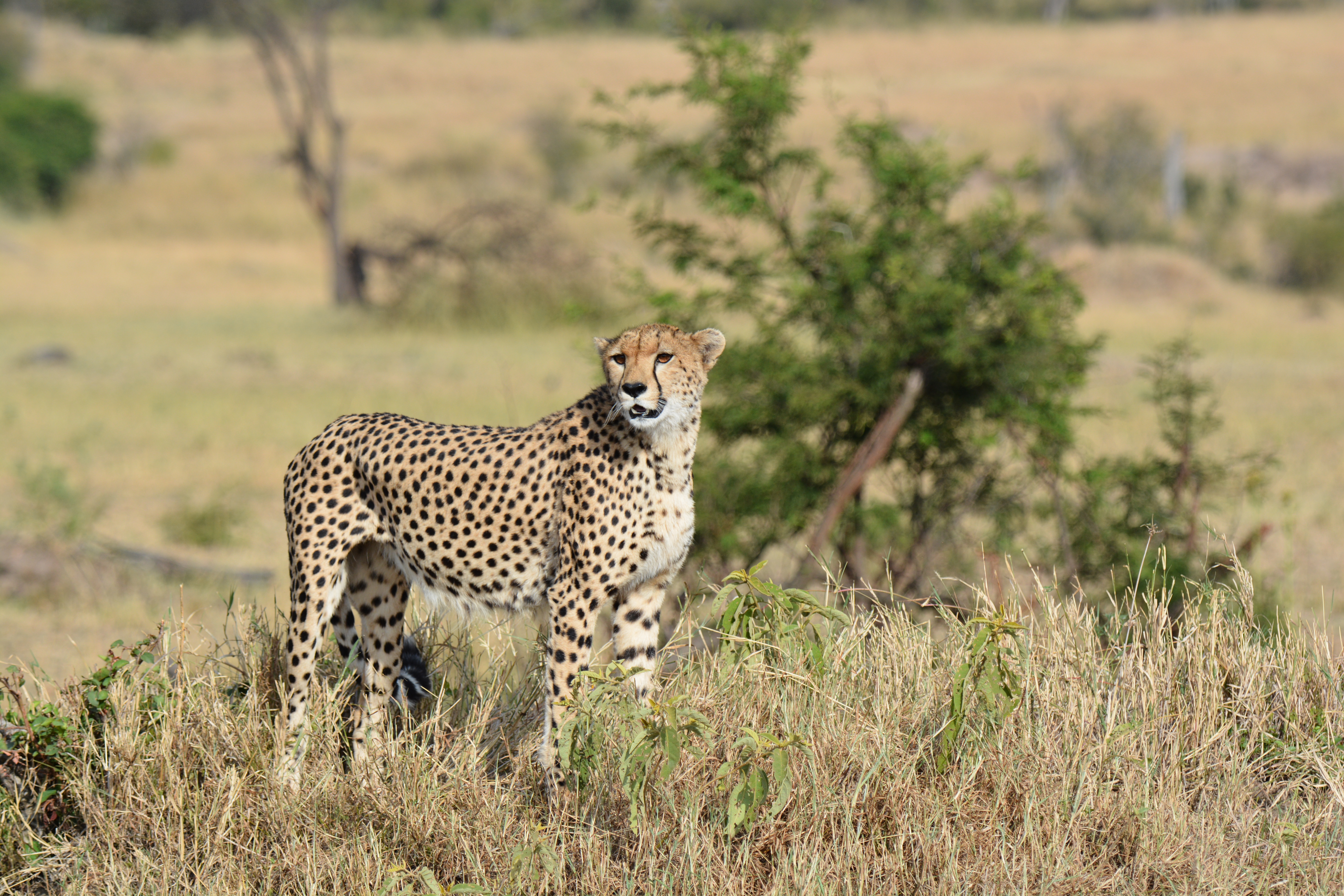
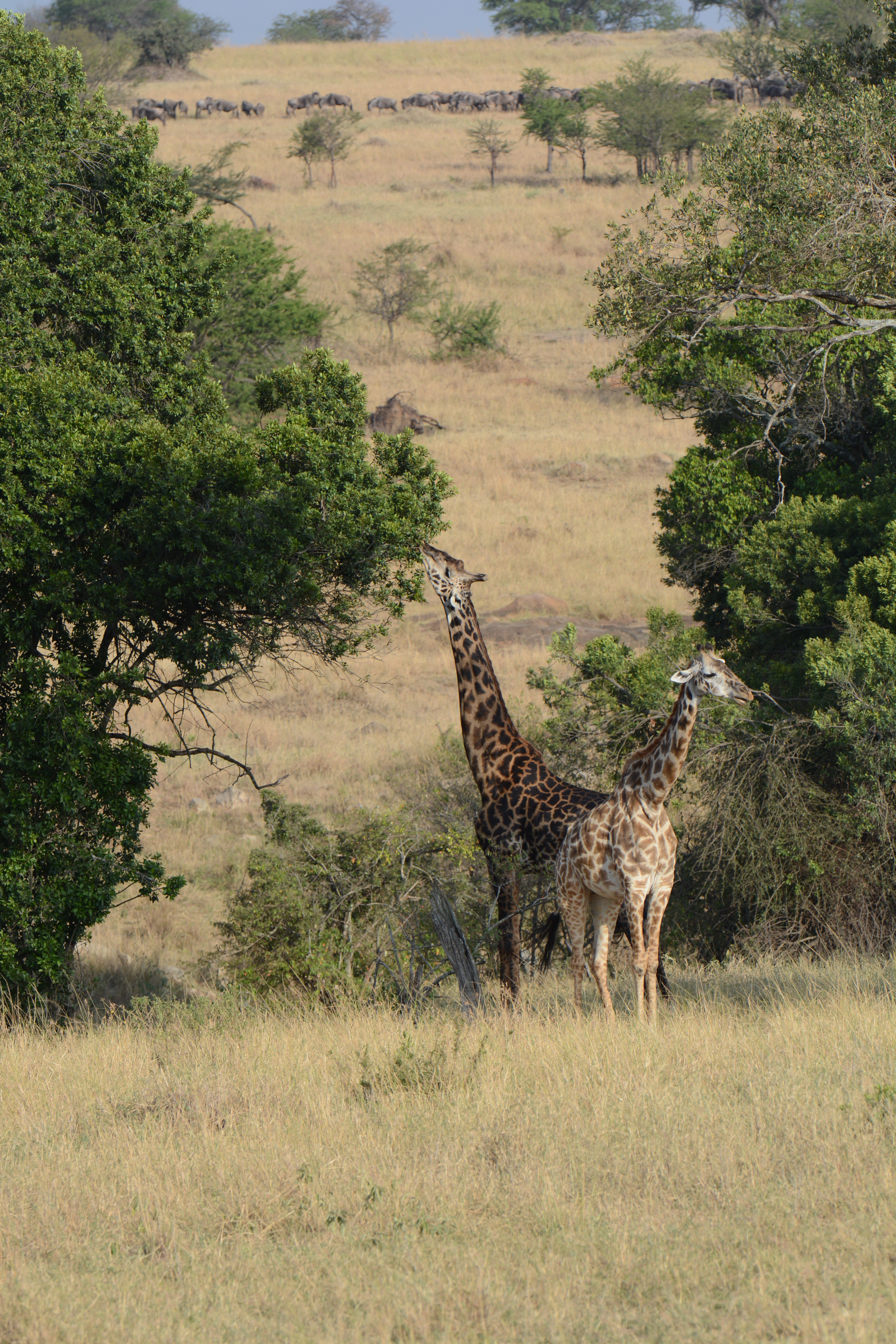
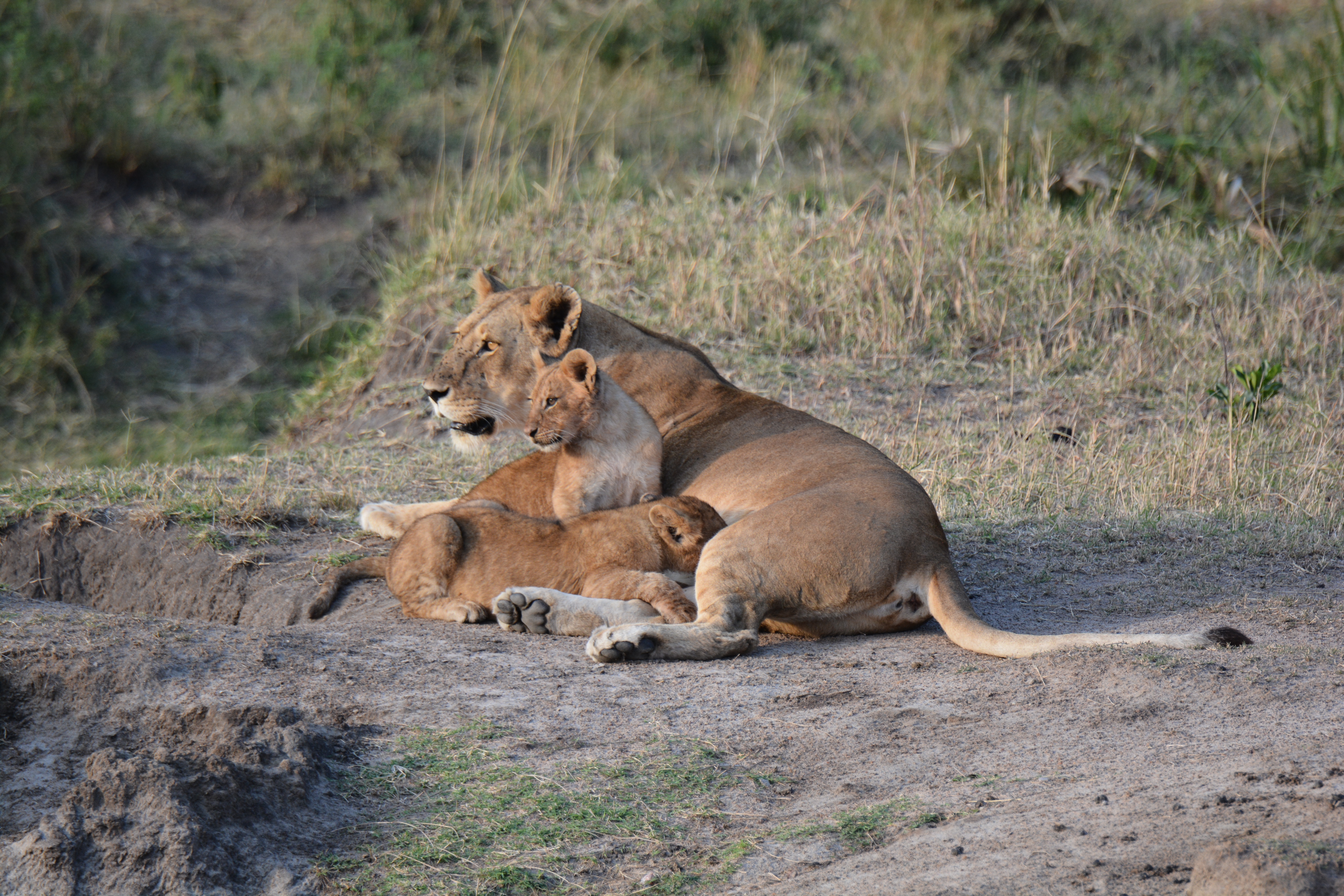
After the initial Wildebeest excitement, we saw a few Zebra and a giraffe before checking into the lodge, a stunning collection of the structures perched on a hill in the middle of the Serengeti. In the afternoon, we headed out again in the Jeep in search of cats and termite mounds (a subject my dad was somehow fascinated by). Before long, we spotted a majestic Cheetah as well as a family of Lions emerging from their afternoon nap. 

In the evening, we enjoyed a traditional Swahili buffet before being escorted back to our rooms by a spear-armed guard (which quickly was validated as a necessary precaution when we spotted buffalo dung outside our rooms the next morning). The escort also provided us further practice on our Swahili (limited to hello – “Jambo” and thank you very much – “Asantasana” as of this post)

Monday, August 19th:

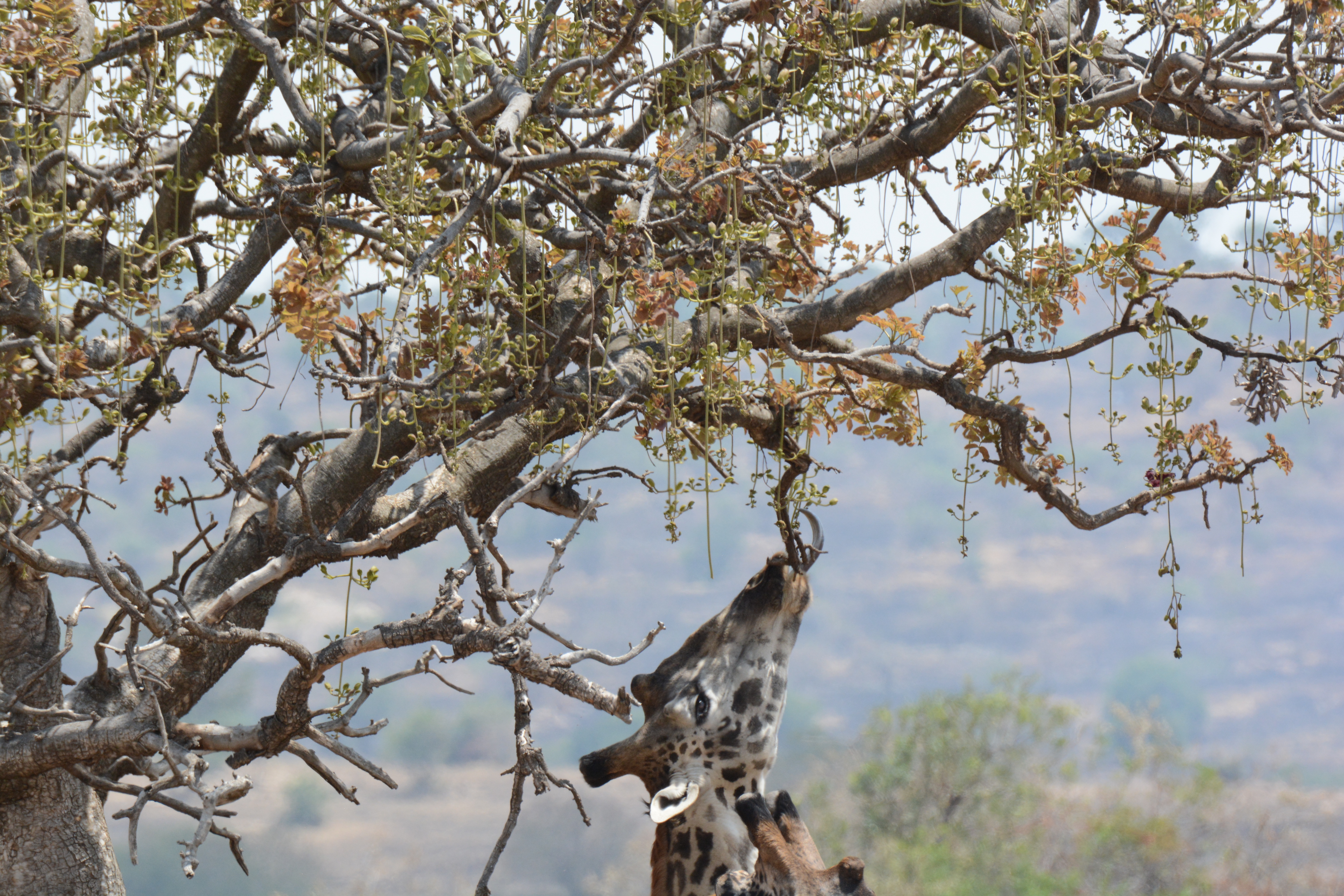
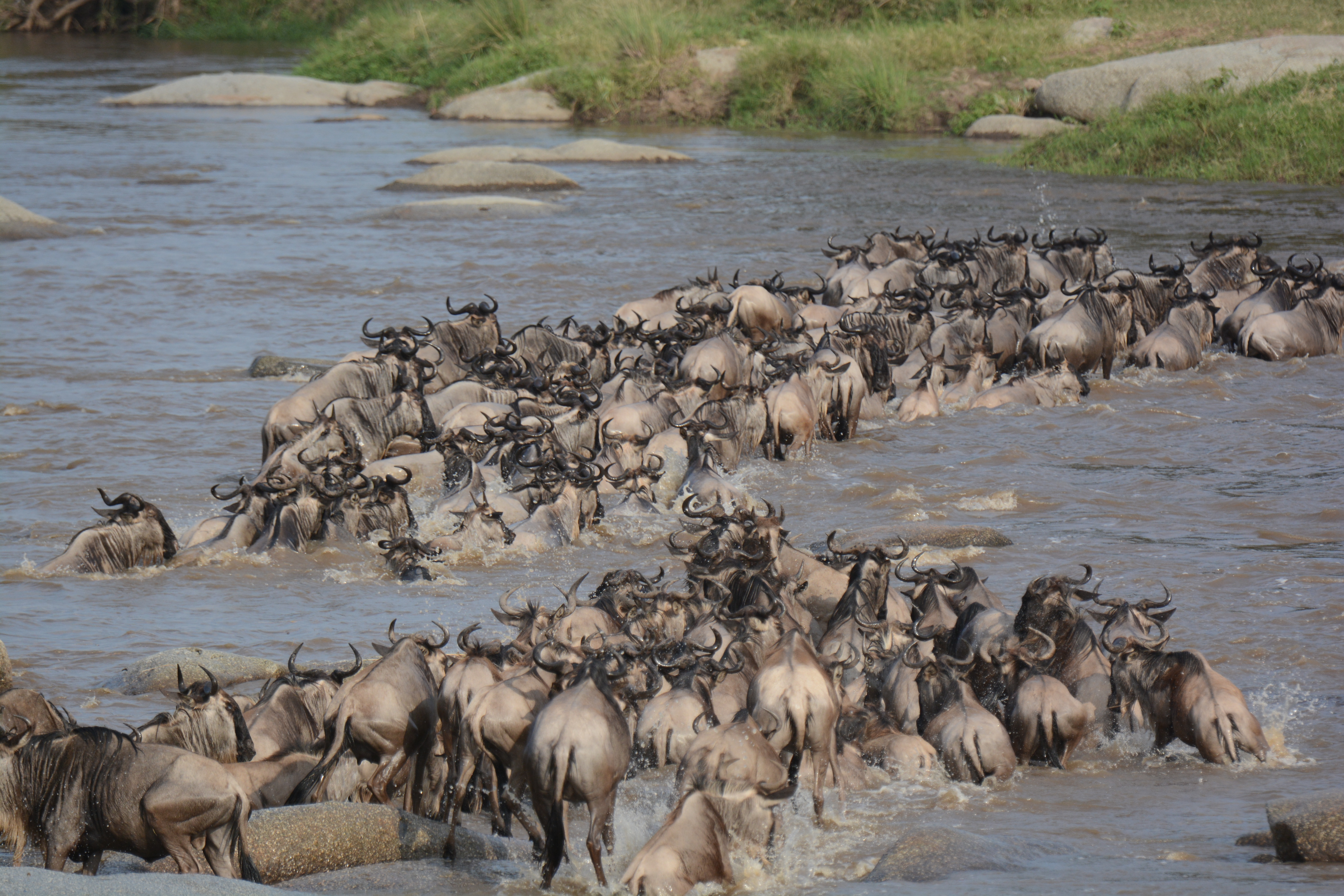
The animals are most active in the cooler times of day, which meant an early start and we were in the Jeep by 6am in search of larger animals. The first spotting of the day was an elephant attempting to take down a tree, followed by an encounter with a near-full pride of Lions including 3 males, 3 females and 4 cubs. Next, we drove towards the Mara river to see a Wildebeest crossing – one of the most stunning moments of the annual great migration, made famous by Sir David Attenborough’s narration. While a bit more crowded than our more isolated exploration (about a dozen jeeps arrived to watch), the spontaneous decision of thousands of Wildebeests to determine it was time to cross the river was a spectacular sight. Everything from the anticipation, to the traffic jam upon entering the water and a couple babies being snatched by Nile Crocodiles made for a captivating show.

After a picnic breakfast, we continued our search and encountered some massive Hippos and another Elephant before lunch. In the afternoon (following the obligatory afternoon nap, somewhat justified by the early wake-up), we moved back towards Sunday’s cat theme and came upon a sunning Lioness. Then, we spotted an elusive Leopard enjoying a Wildebeest feast as her cubs napped in the waning sun. Celebrating a successful day with a sunset beer as a pair of giraffes walked by, we then headed back to the lodge.

(Uploaded as many images as I could with the spotty internet, will share a full google album when I have better connection

Featured

Escaping to Africa

So what am I doing?

Three years after my last extended adventure (6 months traveling through the US, South America and Europe after graduation), I am embarking again on a slightly shorter but geographically more ambitious trip across three continents in the coming two months. I am incredibly fortunate to work in a time period (and a company), where taking a two month leave is not just allowed, but in some ways encouraged. I intend to take full advantage and I hope you enjoy following along!
Similar to my previous travel blogs, I plan on posting every few days with pictures and stories from the road. (The frequency will be highly dependent on internet connectivity, which may be a greater challenge in some locations). 

In addition, if you have visited locations along my route and have recommendations, feel free to pass them along!
The itinerary:

August 16th – August 29th: Safari in Tanzania and visiting the gorillas in Rwanda with the family

August 30th-31st: Visiting old friends in Singapore

September 1st – 14th: Trekking in Nepal

September 15th-25th: Exploring Bhutan

September 26th-October 2nd: Some combination of Europe (likely Spain or Italy)

October 3rd – October 6th: Relaxing in Croatia

October 6th- October 7th: Germany for Oktoberfest

October 7th-9th: Home (to Los Angeles) for the Yom Kippur Holiday

October 10th: Arrive in San Francisco

October 14th: Back to the “real world” of work

The first day: 

After finishing work on Thursday and ceremoniously leaving my laptop at the office where it will stay unaccompanied for the next two months :), I went to the airport and embarked on the very directroute from San Francisco to Tanzania. After a “redeye” to Chicago and a stop in Ethiopia where I picked up my brother Ben and his girlfriend Jenna enroute from Tel Aviv, we are headed to Kilimanjaro airport (Tanzania) in a few hours. We will meet my parents this evening before heading out on a safari in the morning.

Stay tuned for updates/pictures and subscribe if you want to get notified whenever I upload a new post

The Chimps of Mahale

(A slightly longer post due to the fascinating nature of chimp politics)

Photos can be found here (format wouldn’t upload on wordpress) https://photos.app.goo.gl/B6UpfdWMpXSDX5Fd6

Mahale National Park:

Lake Tanganyika forms part of Tanzania’s western border with the Democratic Republic of the Congo. It is the longest (~650km) and 2nd deepest (~1500m) lake in the world, containing ~15% of the world’s fresh water. It is also “gin-clear” according to our hotel’s marketing materials, and forms a stunning setting, complemented by the rain forest of the Mahale Mountains that rise straight off the lake shore.

Adding to the serenity is the remoteness of the park. Outside of a few other lodge guests (and some Japanese researchers), we were completely alone, an hour and a half boat ride and a couple hour flight from the nearest population center.

Thursday, August 22nd:

Mostly a travel day, we left the Serengeti in the mid morning enroute to Mahale park. After a 3 hour flight (with a quick refueling stop), we approached the small dirt airstrip on the water and saw a plane stopped halfway down the runway. Fortunately, we were able to land on one side of the runway, and we later learned the stopped plane held the other guests at the lodge who had blown a tire on landing. With everyone safely disembarked, we headed to the boat (a very old, rickety wooden craft) and navigated the very choppy waters into the national park and to our lodge about 90 minutes away. We had a few false alarms, but our motion sickness-prone group survived the journey without incident and we settled into the “lake lifestyle”, donning traditional kikois to dinner.

Friday, August 23rd:

The lake lifestyle involved a slightly more relaxed morning, and we all met for breakfast at 7:30 and awaited news of the chimps from our trackers. At around 8:30, the chimps were spotted and we embarked on a short boat ride to the trailhead. We enjoyed a lucky start to our chimp viewing experience and the chimps were congregating only 30 minutes from the trailhead, with minimal bushwhacking required. About ~50 meters from our first encounter, Matias, our guide, had us don surgical masks (to prevent the spread of disease to the chimps – and because they look great in pictures…), then we proceeded towards where the a couple chimps were congregated.

Chimpanzees have received a lot of attention over the past ~50 years because of their close relationship to humans (sharing >98% of the same genes), their immense intelligence and their ability to use tools. For me, the most impressive and unique quality that we observed was their interpersonal behavior and politics. Matias provided the backstory on the chimps we observed, and it seemed that each action was very much informed by their standing in the group.

Chimps live in groups, and the “M group” that we observed has a population of ~70, led by the current alpha, Primus. Below the alpha, Teddy is the clear number 2, although he has left the group to recover from a failed coup to take over the top spot. Leaving the group is a fairly common occurrence to avoid losing one’s place in the pecking order, or to build ones strength to challenge for the next position. Achieving the next position occurs through a combination of intimidation and having a strong coalition behind you. Teddy had seemed to have a strong coalition of Emory (#3) and Mitchio (#4) to take down the weakened Primus, but Emory withdrew his support under pressure leading to Teddy’s temporary exile. 

With Teddy gone and Primus not around, we saw other males attempting to gain in the pecking order, leading to a spectacular charging display from Azam. We also witnessed some of the more relaxed components of chimp society as Bonobo (actually a chimp despite his confusing name) mentored the orphan Figaro, and Phone nurtured her young baby.

Later on, we enjoyed a relaxed evening featuring a makeshift Shabbat dinner under the stars complemented by tails of the famed overthrow and murder of Pimu (the alpha in 2011) before preparing for our next day of chimp politics.

Saturday, August 24th:

The chimps were a bit harder to reach, staying in the trees to eat fruit and flowers for much of the morning. We arrived in a river bed and observed them from afar as they snacked and relaxed at the top of the canopy. We even were treated to one female making a makeshift day bed of leaves before napping (Chimps make a more sophisticated bed of leaves and branches in the evenings). 

Another hold up was the presence of Effie, a female in ostrus, which attracted the attention of both Bonobo and Mitchio. This led to a high altitude standoff as they postured at each other from different branches while attempting to approach her. The treetop maneuvering of full-grown males is incredibly impressive given their size (well over 100 pounds). Effie was not at all interested in either male, although Mitchio would remember the lower-ranked Bonobos competition the following day.

The hours dragged on, and patience in our group wore a bit thin, but everyone stuck with it into the early afternoon, aided by Jenna’s guided meditation session and Matias’ stories of chimp politics. Finally, the chimps began to climb down from the trees and the politics began.

Emory (#3) and Mitchio (#4) arrived on scene, and after a bit of posturing, it was clear that there had been a change in power following Emory’s betrayal of Teddy. Emory showed respect to Mitchio and began to groom him, demonstrating a change in the power dynamics with Mitchio appearing to have ascended to #3 with Emory falling out of the picture. Similar to the previous day, we also witnessed some more lighthearted moments as a baby attempted to steal fruit from a teenager before swinging through the trees to test his strength.

After a long (and eventually fruitful) day of observation, we arrived back at camp in the later afternoon and settled down for the evening.

Sunday, August 25th:

For our last chimp trek, we enjoyed better luck and the chimps were spotted immediately about 30 minutes from the trailhead. We followed Bonobo as he attempted to evade Mitchio. The evasion included several loops through the underbrush, meaning a lot of bushwhacking on our part to keep pace. Eventually, they settled down under a tree and Mitchio began to call out to other chimps to congregate. For good measure, he included some aggressive posturing in Bonobo’s direction, banging the trees excessively to demonstrate his increased dominance and status in the community. Sadly, this marked the end of our chimp observance and we will have to await news of Mitchio’s ascendance, Teddy’s return and Primus’ struggle to maintain his grip on the Alpha position.

Before returning to camp, we all took a quick dip in the Lake, ensuring a safe distance from shore to avoid the crocodiles and hippos. Despite its immense depth, Lake Tanganyika was a temperate ~70 degrees, a temperature it maintains year round, which made for pleasant swimming after the humidity of the rain forest.

Design a site like this with WordPress.com
Get started