

I had started to write a day-by-day account of my time trekking in Nepal, but after the last few days I decided not to bury the lead given the blog’s title. Suspense, after all is great for novels, but I have found is less appreciated by family/friends when my health is the subject.
That said, I am currently resting and recovering in Singapore after an unfortunate bout of altitude sickness in Nepal. While weak and about 16-18 lbs lighter than I was when I got to Nepal just over a week ago, I am on the road towards better health after visiting doctors both in Kathmandu and Singapore.
In an ideal world, I will be able to recover over the next few days and proceed as planned to Bhutan on Sunday morning to continue my adventure
So what happened?
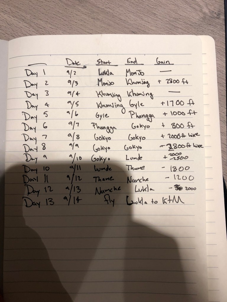
When I arrived in Nepal on the evening of August 31st, my plan was to load up on supplies in Kathmandu before flying to Lukla, a small town at around 9,000 feet that serves as the entrance to the “Everest region”. From there, I would spread the hike to Gokyo (around 15,700 feet) over 6 days, allowing both for acclimatization days and a “slow-ish” rate of ascent for the 30 mile journey. I say “slow-ish” as the hike is recommended to take around 8 days to avoid altitude sickness and in retrospect, spreading it over a couple more days may have prevented me getting sick.
The inspiration for Gokyo was my friend Derek, who did the same trek in March 2018 and raved about the stunning views and comparatively less crowds than Everest basecamp. Gokyo is a a beautiful village on the banks of a glacial lake, from it there are a few day hikes offering beautiful views of the 6 sacred glacial lakes (Gokyo sits on the 3rd) as well as panoramic views of some of the tallest mountains in the world (4 of the 6 tallest to be precise).
The first few three days went to plan as I climbed up from Lukla (9,000 feet) to Khumjung (12,000 feet), minimizing my ascent on the first and third day to adjust to the altitude. On the fourth day, I climbed from Khumjung to Dole (13,500 feet) by lunch time. While chatting with a couple German hikers at a tea house (also hiking without guides or porters), an Australian couple walked in with their guide and porter. Their guide kindly passed around a pulse oximeter to measure how well we were adjusting to the altitude and my reading was a bit low. The guide recommended I stay in Dole for the evening to rest rather than continue on with the German group to the next town an hour onwards (and about 500 feet higher).
Having begun feeling tired/nauseous from the altitude that morning, my symptoms only worsened during the evening as I waited it out. In the morning, I spoke with my parents and they wisely advised that I should descend. Fortuitously, I didn’t put up much of a fight in my weakened state and began hiking down towards Namche Bazar, a larger town at about 11,000 feet. The hike down is actually quite challenging as the trail descends from 13,500 feet to almost 12,000 feet at the town of Phortse Tenga, before rising up to 13,000 feet and the town of Mong La. Finally, it descends to Namche Bazar at around 11,000 feet.
Feeling even weaker the next morning, I continued my descent to Lukla, hiring a porter for the first time to help me carry my bag back. The ~12 mile downhill hike felt even more difficult than the previous day’s descent at a higher altitude, but I eventually made it down to Lukla at 9,000 feet.
With no major improvement, I flew out of Lukla the next morning to Kathmandu (around 4,500 feet). I was quickly checked out at a medical clinic in Kathmandu to ensure I was ok to fly before flying to Singapore that evening. Arriving in Singapore on Monday morning (the 9th), I went to another medical clinic and was put on an IV as I began the rehydration and recovery process.
Lessons learned:
While altitude sickness can be a bit random (even Sherpas and porters who have lived their life at altitude can get it on occasion), there are definitely ways to minimize its likelihood. I thought I was being cautious enough taking an acclimation day, but little things like hiking too fast each day probably contributed to the likelihood of illness. In addition, while there is nothing wrong with hiking solo (without a guide or porter), in the early hiking season before the crowds I had limited interaction with other other hikers. This may have also delayed my recognition that my symptoms meant I should probably pause or turn around.
Should I be healthy enough to go back to altitude (albeit a little lower in the 7,000-11,000 foot range), there are a few things I can be a bit more cautious about as well as my (hopeful) next trip to Nepal in the coming years.
Pictures along the way:
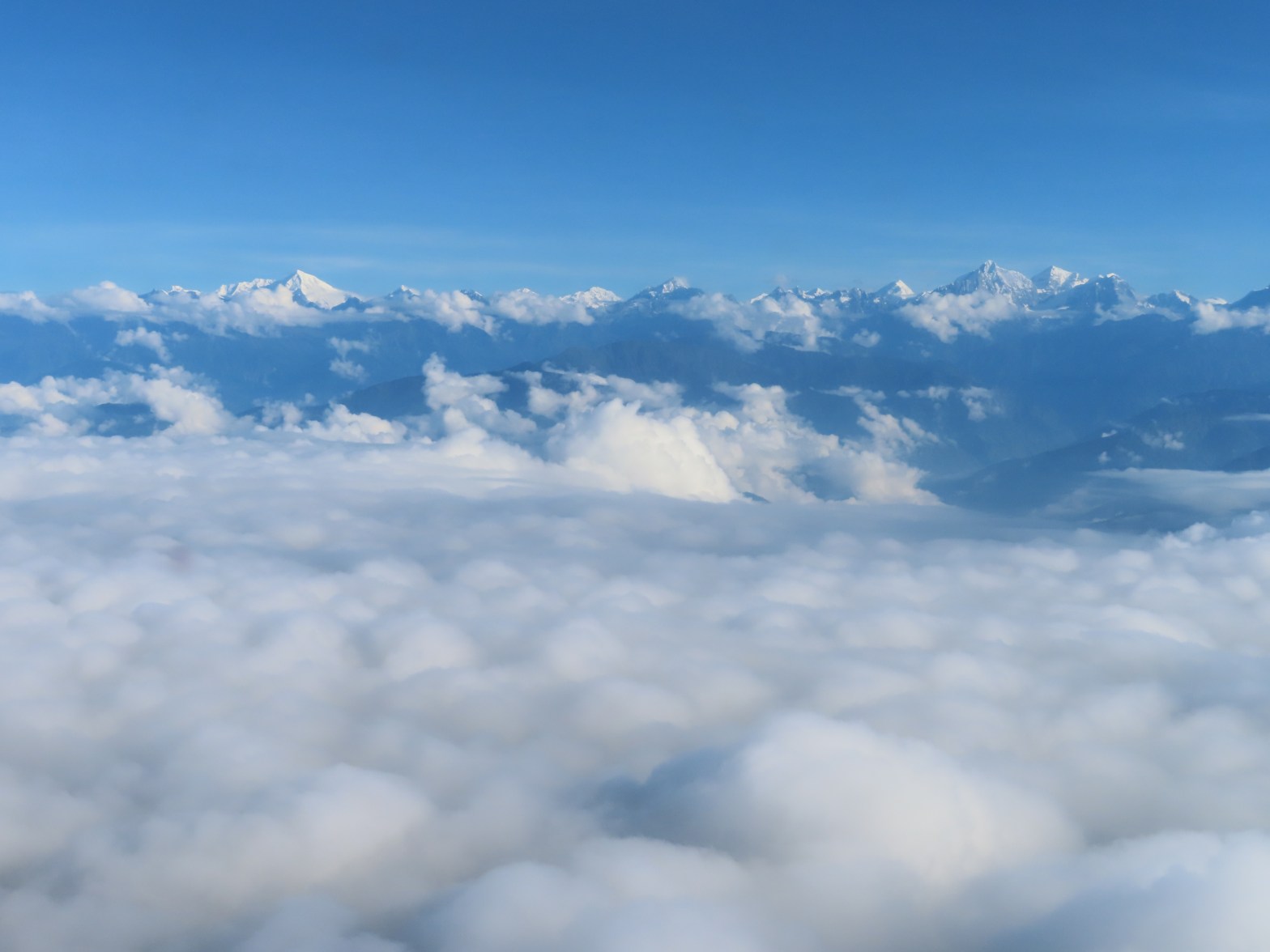
While I didn’t get to my intended destination (and the clouds blocked out much of the view of the taller mountains along the way), I did get to enjoy some pretty spectacular views of the valleys, rivers and small towns of the Everest region. Hopefully, there will be a next time in Nepal where I can try again to reach Gokyo and enjoy some of the most stunning views in the world.
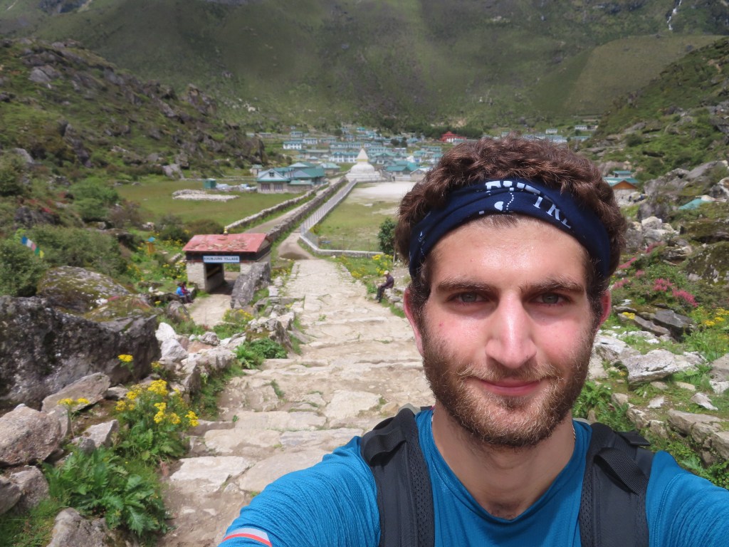
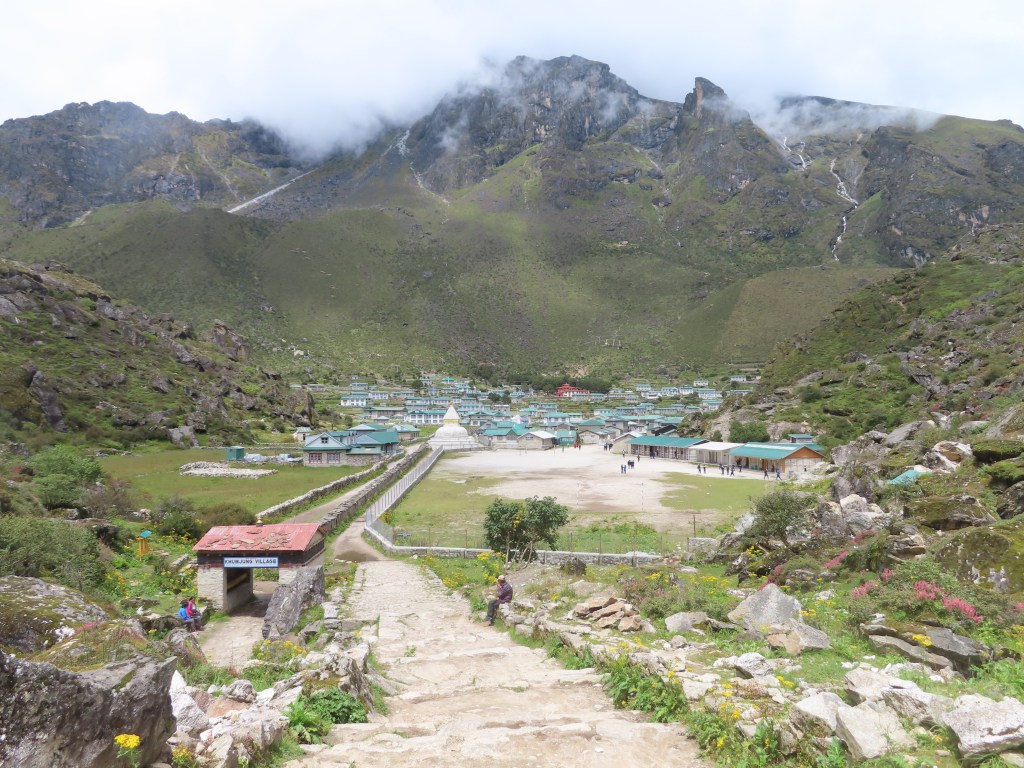
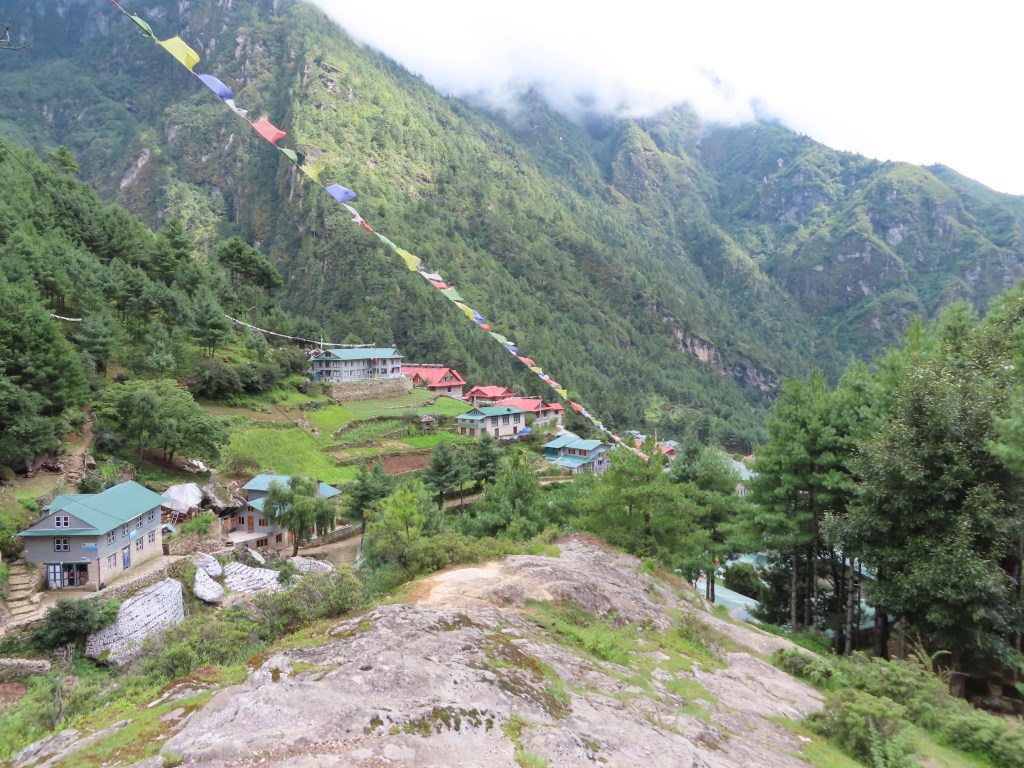
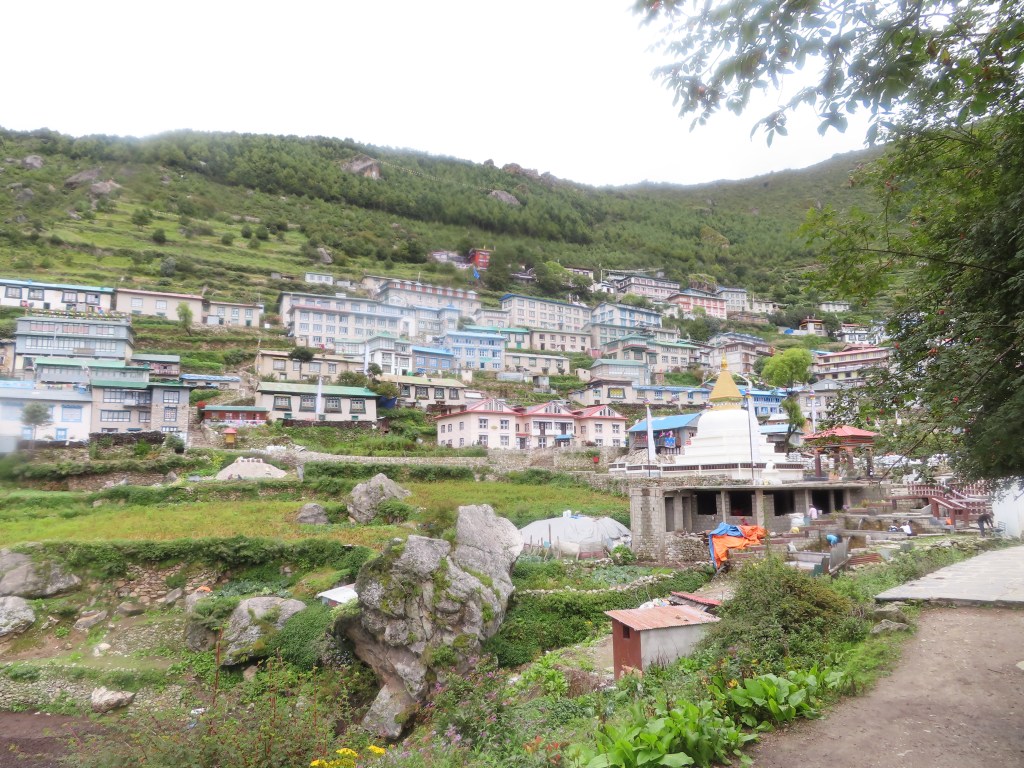
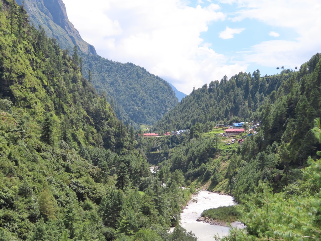
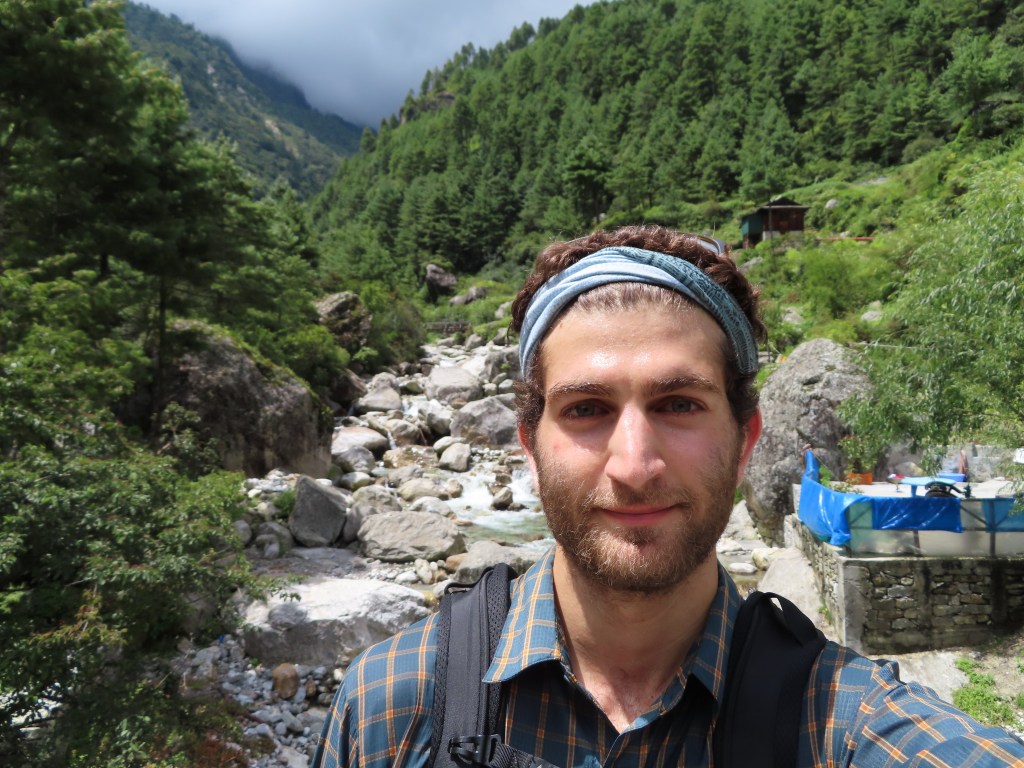
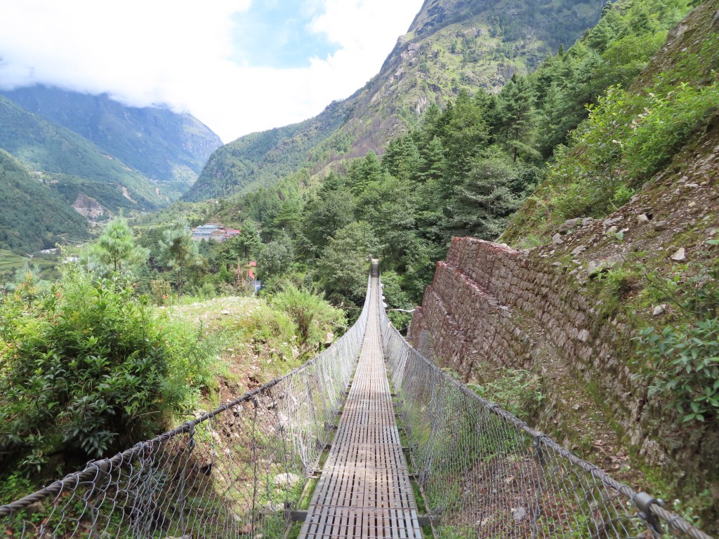
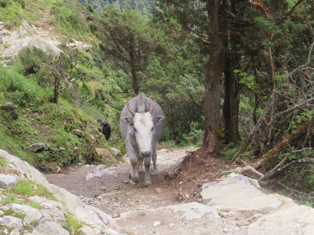
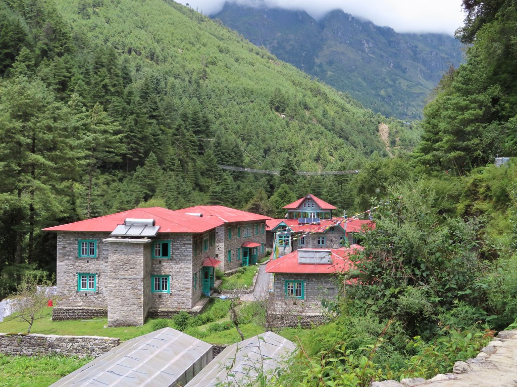
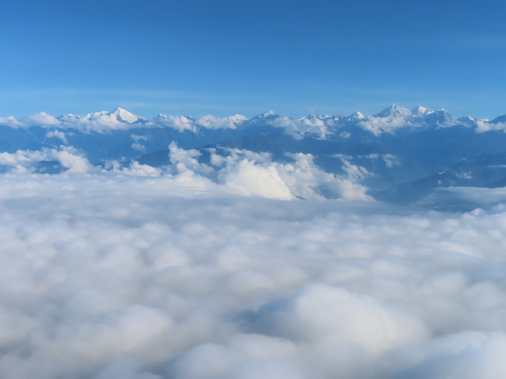
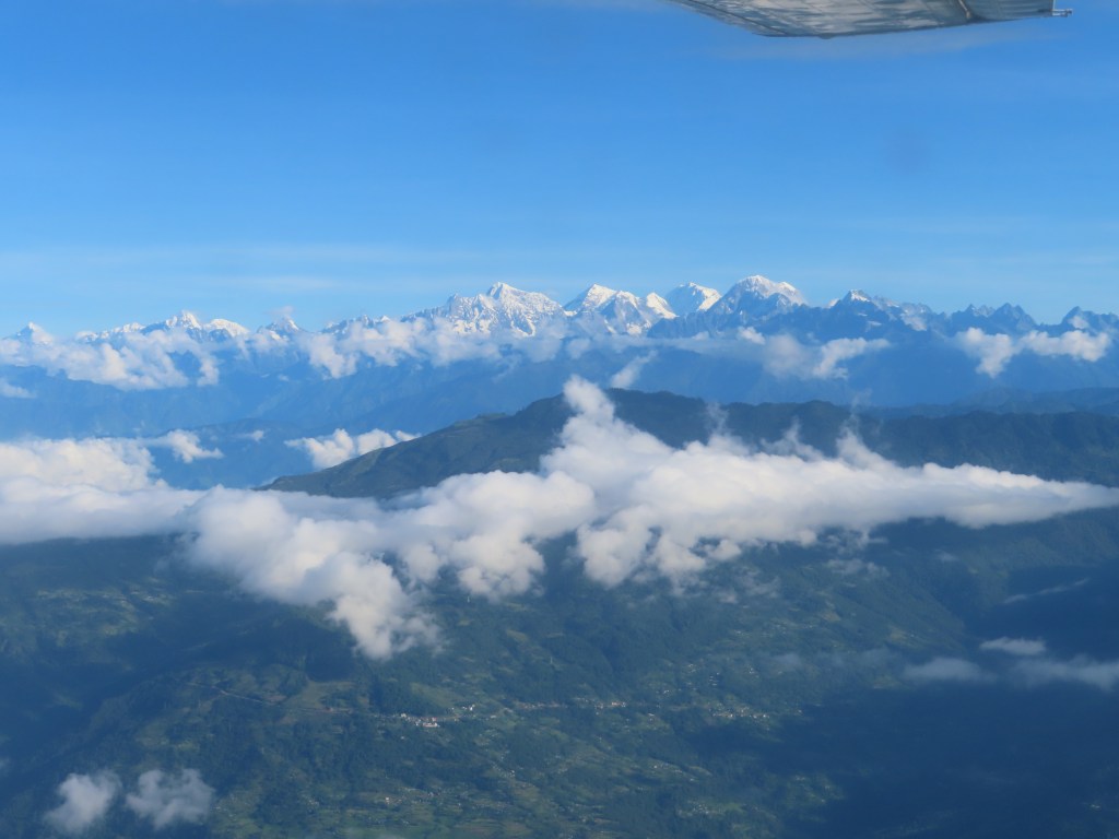
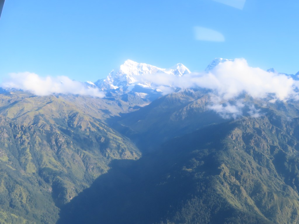
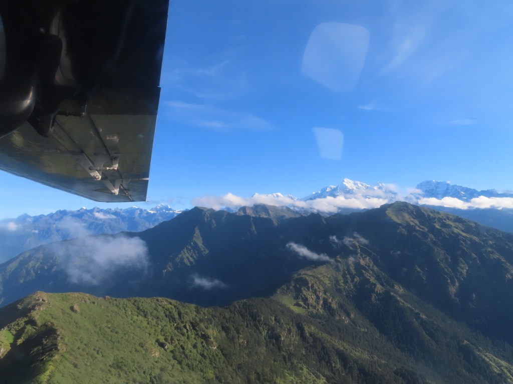
Himalayan views from the plane
Appendix (day-by-day before I started feeling sick):
Sunday, September 1st:
At just under a mile high, Kathmandu sits in a valley surrounded by high peaks, making for a dramatic skyline in any direction. Nepal’s capital is a bustling, dusty city and some locals wear masks to protect themselves from the polluted air. The city isn’t without its charm and is known for is beautiful temples, but the real attraction (in my opinion) are the surrounding wilderness that it provides access to.
While I may have a day for touring Kathmandu at the end of my trek, my first day in the capital city was dedicated to picking up colder weather gear, permits and a plane ticket to the mountains. Thamel, the tourist area of Kathmandu, is filled with expedition shops selling knock off winter gear, travel agencies selling tours and plane tickets, souvenir shops and money changers. Navigating the area is a bit overwhelming with everyone trying to approach you and sell you something.
My first foray into Thamel was dedicated to dropping off my laundry and finding breakfast. Somehow, I picked up a Nepalese graduate student in the process intent on showing me around. After a local breakfast of lentils, potatoes and a hard boiled egg, he took me around a Buddhist monastery and explained the numerous prayer wheels to me. Next, he took me to a shop (somewhat to be expected) selling mandala, beautiful hand-painted images to display in the home and use for meditation. After the hard sell failed and he realized I was content to just look and take everything in, he pitched being my guide for the rest of the day. My only escape was to return to the hotel.
I was more focused in my second foray into town, negotiating for a plane ticket, gear and snacks for my trek without incident.
Monday, September 2nd:
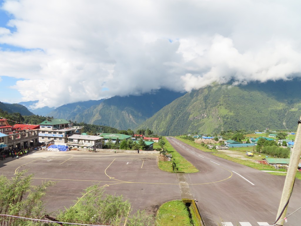
I had read about domestic flights out of Kathmandu being a free-for-all and the airport lived up to expectations. Attempting to check-in for a 7:30am flight around 6:15, I was given a ticket that had no resemblance to my confirmation number, hurried to the gate and my bags taken (hopefully checked). Apparently, I was being moved to an earlier flight (which I was fine with provided it took off, always a question with the frequently changing weather). After a two hour wait on the tarmac, the engine revved up and we took off on the ~25 minute flight to Lukla. While partially obscured by clouds, the views of the mountains were beautiful. However, it was a bit hard to focus given the impending landing that has made Lukla famous.
All of a sudden, a tiny airstrip appeared between the mountains and the plane rapidly touched down, utilizing the entire length of the uphill runway (to slow down landing planes and speed up planes taking off) before making a rapid turn into the “gate” area. After taking a couple minutes to recover, I did go to a viewpoint to watch other planes landing and appreciate the incredible feat that the pilots pull off routinely
Trekking on September 2nd:
Distance: ~8 miles
Elevation: Lukla (9,300 feet) to Monjo (9,300 feet) with lots of ups and downs in between
After landing in Lukla and picking up breakfast, I hiked through the village of Lukla and began the path towards Namche Bazar (my destination tomorrow). The path is rocky at points, but relatively well maintained as evidenced by the frequent maintenance that I observed.
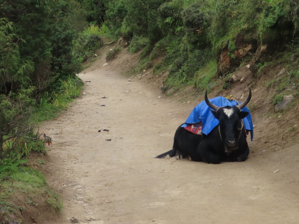
After an hour, I briefly stopped for lemon ginger tea and attempted to speak with the proprietor, an elderly Nepalese man, who asked me where I was from and complained about the traffic the ox and yak trains bring through his village, leaving “shit” (his words) everywhere in their path. Later along the trail, I stopped for a bathroom break in Phakding and met a few children that must have not been more than 5 years old. After attempting to spoon feed me some variety of milk team and cracking themselves up, I gave high fives to my new friends and set off again down the trail.
Towards the end of the journey, I picked up a porter as a walking companion and he asked about my route. He exclaimed that the Renjo La pass I am planning to cross is “very easy”, which didn’t give me confidence given the ease that he carried his load that was likely three times the weight of my pack.
Eventually, I crossed the river on a suspension bridge (surprisingly stable) and entered the town of Monjo. Entering a town has a different meaning in the Himalayas as many towns are along the mountain path, meaning that there is still a serious up-hill walk to get to your destination. I settled down in a quiet tea house for the evening, reuniting with a fellow passenger from the morning’s plane flight. Tea houses are a staple of trekking in Nepal, offering a room for a nominal price (~$5). In addition, they serve meals and occasionally offer additional amenities such as WiFi (often $5), hot showers (often $5) and battery charging (ranges from free to $3 per device). Evidently, the hot shower option was not available at my tea house in Monjo and I settled for a cold shower before drifting off to sleep.
Tuesday, September 3rd:
Distance: ~3.5 miles
Elevation: Monjo (9,300 feet) to Namche (11,300 feet)
After pouring all evening, the rain subsided by the early morning, offering a relatively dry journey to Namche. The trail began with a steep downhill and undulated as I seemed to give back every foot I gained, a tease as I anticipated the eventual 2,000 foot straight up climb to Namche. After a few perilous river crossings on increasingly high suspension bridges, the actual climb began. Endless switchbacks brought me higher and higher above the valley floor until I eventually reached the police checkpoint on the outskirts of Namche. Along the climb, the clouds obscured my first view of Everest, although Derek reported the first view is nothing compared to the view above Gokyo.
After displaying my permits to the policeman, I continued my climb into Namche. True to my observation yesterday on the trek required to actually walk through a village, Namche sits on a massive hill and my lodge was 400 feet above the town entrance.
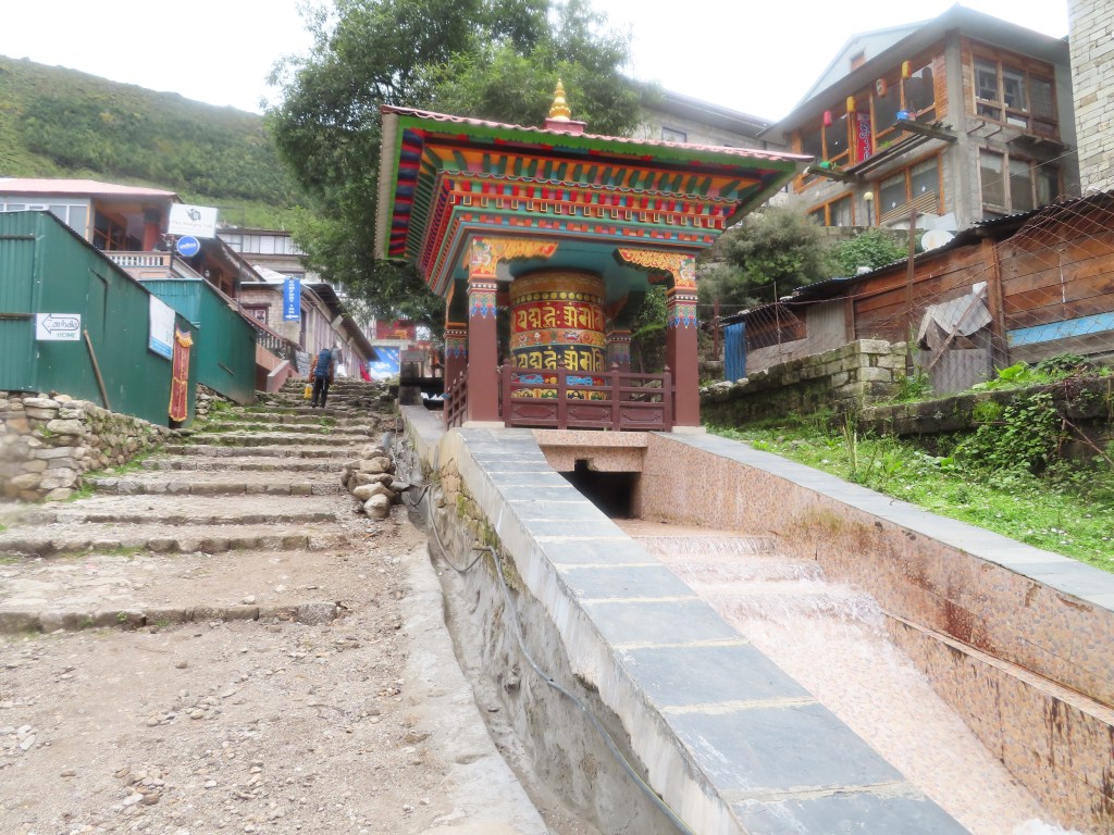
Settling in, I took an (actual) hot shower, napped and then began exploring the Sherpa capital. This included stops at the Sherpa museum above the town as well as the water-driven prayer wheels. Afterwards, I wandered the streets, stepping into endless gear shops resembling Thamel in Kathmandu. Apparently, within a few weeks Namche is packed with tourists as it is a stop on the Everest Base Camp trek, yet the crowds are hard to imagine in the quiet of the early season, I am the only guest at my tea house.
Dinner at the tea house was the famed Dhal Bhaat (essentially rice, lentils and vegetables) which will serve as my staple during my mostly-vegetarian diet in the Himalayas.
Wednesday, September 4th:
Distance: unknown (Khumjung is off the main path), likely 6 miles with the back and forth
Elevation: Namche (11,300) to Everest view lodge (12,700) to Namche (11,300) to Khumjung (12,100)
Mostly an acclimatization day (limited elevation gain between Namche and Khumjung), I hiked up to the famous Everest view lodge for my first view of the tallest mountain in the world. Again, my attempt is foiled by the clouds and I settle for a hot cup of tea. Hiking down again back to Namche, I encounter my first major “tourist traffic” as a 27 person group heading to Everest Base Camp is climbing up the lodge on their acclimatization day. I briefly chat with their guides, who seem jealous of my “small” group of one as they wrangle their large caravan. After requesting a selfie with me (perhaps I will get it one day on social media), I continue on my climb down into town.
After an hour packing my big bag and chatting with the father of the tea house owner, he is a Nepalese travel agent who has been to California many times and had just returned from a trip to Utah’s national parks, I began to retrace my steps up the mountain towards Khumjung. Fortunately, he recommends a more direct route and I am spared retracing my exact steps to Everest View Lodge, although at times it feels like the “direct” route is another way of saying the steeper route. Along my hike, I reflect on the lodge owner’s father’s answer to my question about tourism in Nepal. Even as someone who has made his living in the travel industry, he admitted how crazy it has gotten, ruining the character of some cities (including Namche Bazar). Something to ponder on my visit to Bhutan in a couple weeks, where tourism has been limited to preserve the country’s character.
An hour after leaving Namche, I arrive in Khumjung and look to put my pack down and rest. The combination of climbing with a daypack in the morning and having overpacked (I’ll just call it strength training) has created an added challenge. Fortunately, my major hiking in Gokyo will consist of day treks when I can leave my big bag in the Tea house. Settling into a typical tea house for the evening, I am again the only guest. I am hoping the smaller towns with fewer tea houses located further up the trek will lead to more company, although the quite is nice and I am glad there aren’t any 27 person tours going along my route.


Hi Aaron, we are so sorry to hear about your not feeling well. Hopefully you are on the mend and will continue your trip as planed. I read your post to uncle Jeff who asked if you had not been given Diamox by your physician to prevent altitude sickness. Also if you are still in Singapore he suggests you buy a pulse oximeter to monitor your oxygen levels during your continued adventures. We are sending love and hugs your way for a speedy recovery.
Syl, Jeff, Lala and Ammie
LikeLike
Oh my oh my. I’m relieved that you are recovering in a proper hotel and hope it’s a short visit and fast recovery.
Although it sounds like it was a good idea at the time, just the thought of ending up in a hospital in Kathmandu is enough of an adventure for anyone. Please take care of yourself, although you may not know it you are a valuable commodity to your Aunt Julia and Uncle John and we have enough white hair as it is.
❤️
Sent from my iPad
>
LikeLike